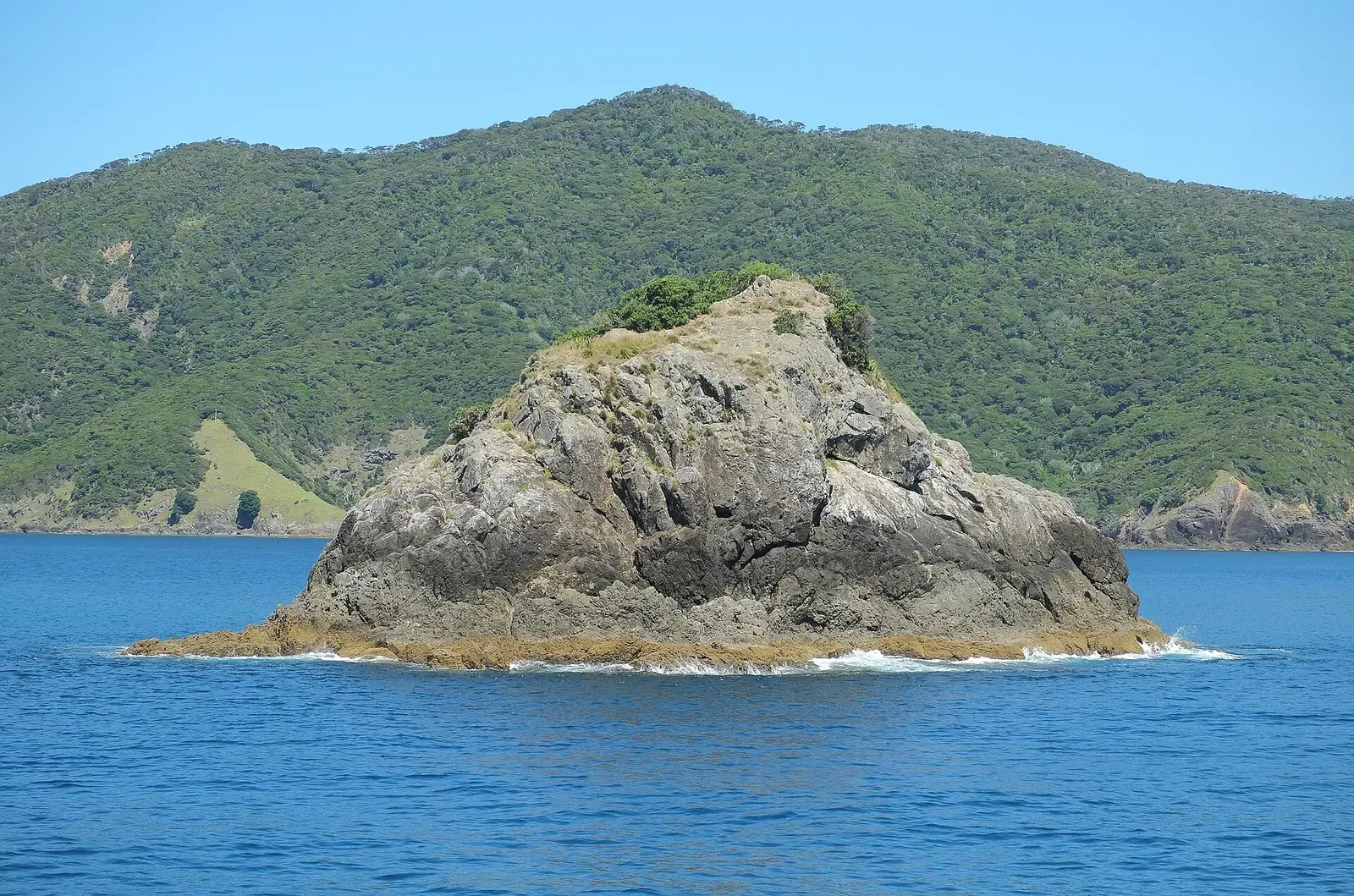
Bay of Islands · New Zealand · Reef
Deep Water Cove
Marine-reserve reef where the snapper come to the divers
A sheltered cove on the Cape Brett coast, also called Maunganui Bay, with a marine reserve over it and the frigate HMNZS Canterbury lying on the same ground. Operators dive it for the reef as much as for the wreck: the fish here are abundant and used to people, with large snapper and Sandager's wrasse coming in close over the rock.
Also known as Maunganui Bay.
Where it is and how deep
35.1941° S, 174.3027° EApproximate position — the dashed circle shows where the site lies; your operator's briefing has the mooring.
The dive
The run out from Paihia takes about 30 minutes by boat, and the cove sits near Cape Brett with a water taxi service also landing hikers here for the Cape Brett track. Being a marine reserve shows in the fish life, which is abundant rather than scattered: Sandager's wrasse and large snapper will come very close to a snorkeller working over the reef, and they behave much the same way with divers on it.
The terrain operators dive across the Bay of Islands is volcanic in origin, which means rock walls, caves and caverns, swim-throughs and crevasses. What is not published is the shape of any particular reef dive inside this cove: no operator gives a depth profile, a route or a current figure for the rock here, so plan it with the boat crew on the day. The deep figure on this page belongs to the HMNZS Canterbury, scuttled in the cove on 3 November 2007 and sitting in 38 m of water with her stern at approximately 36 m and her bow at about 20 m.
Marine life and season
- Reef fish swarms
| Jan | Feb | Mar | Apr | May | Jun | Jul | Aug | Sep | Oct | Nov | Dec |
|---|---|---|---|---|---|---|---|---|---|---|---|
| Prime | Prime | Prime | Prime | Good | Fair | Fair | Fair | Good | Good | Good | Prime |
Season follows Bay of Islands: Jan–May is warmest and clearest as the East Auckland Current pushes south; winter is cold, green and frequently blown out.
Photos from Deep Water Cove
(c) Shaun Lee, some rights reserved (CC BY) · CC BY 4.0
(c) Shaun Lee, some rights reserved (CC BY) · CC BY 4.0
Dive videos
Rahui, Deep Water Cove, Maunganui Bay, Bay of Islands · D&S on YouTube
Questions divers ask
How deep is Deep Water Cove?+
The cove holds 38 m of water where the HMNZS Canterbury lies, with the frigate's stern at approximately 36 m and her bow at about 20 m. No depth profile is published for the reef diving in the shallower part of the cove.
How do you get to Deep Water Cove?+
By boat only. It is about 30 minutes from Paihia on the operator's vessel Sentinel, and a water taxi also runs into the bay from Hauai Bay for walkers on the Cape Brett track.
Sources
- OpenStreetMap: Deep Water Cove, Bay of Islands — OpenStreetMap
- Snorkelling — Dive North (Paihia Dive)
- Reef Diving — Dive North (Paihia Dive)
- HMNZS Canterbury dive trip — Dive North (Paihia Dive)
- HMNZS Canterbury (F421) - Wikipedia — Wikipedia
- Cape Brett - Wikipedia — Wikipedia
Photo credits
- Rocky islet in front of Maunganui Bay, also known as Deep Water Cove by Pseudopanax at English Wikipedia, Public domain, via Wikimedia Commons
- Eastern king wrasse swimming over kelp-covered rock at Deep Water Cove by (c) Shaun Lee, some rights reserved (CC BY), CC BY 4.0, via Wikimedia Commons
- Velvet leatherjacket fish resting among kelp at Deep Water Cove by (c) Shaun Lee, some rights reserved (CC BY), CC BY 4.0, via Wikimedia Commons
More dive sites in Bay of Islands
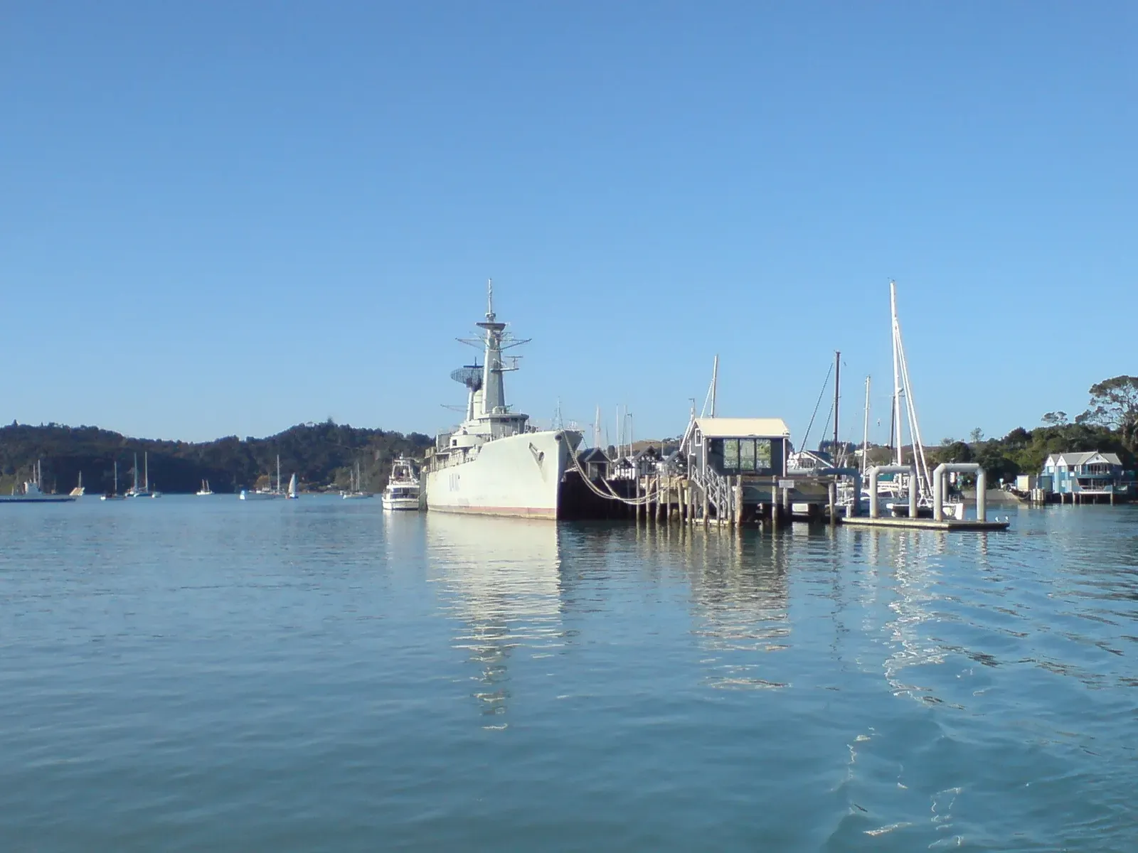
An intact navy frigate, 30 minutes out of Paihia
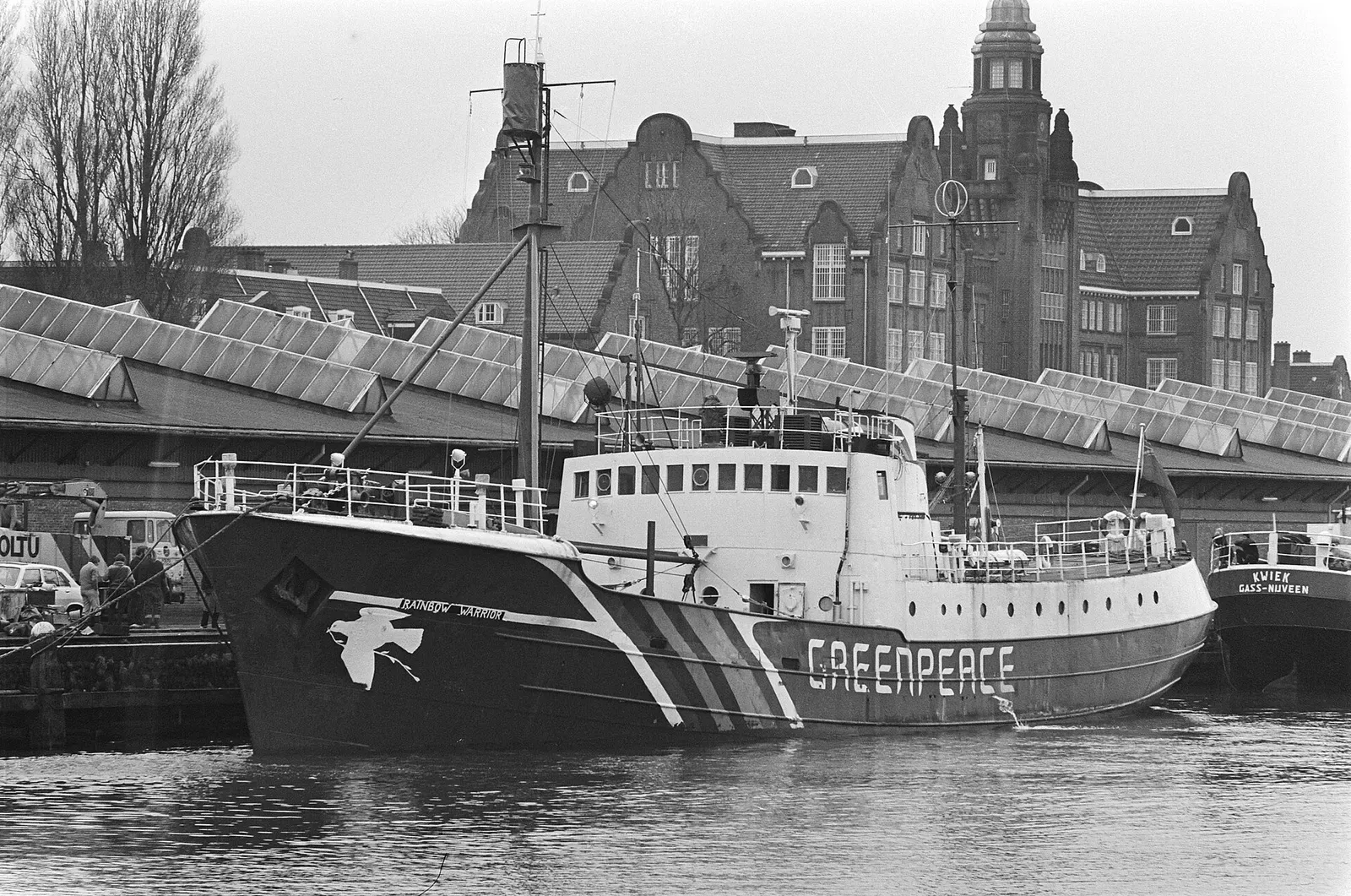
The Greenpeace ship bombed in 1985, now a dive wreck at 26 m
Similar dives elsewhere

Boulder swim-throughs under a 100 m cliff, from 6 m to 35 m
A rock arch with its flat top at 24 m and a swim-through below
Juvenile fish over sand and rock groups, from 5 m to about 20 m


Cupcake-shaped bommies above a reef slope that runs off to 50 m.