El Cabrón · Spain · Wall · Reef
Punta de la Sal
A gorgonian field at 30 m, with one fan over 2 m across
Photo: Tamara k · CC BY-SA 4.0
The deepest part of the El Cabron marine reserve, dived from shore along an undersea cliff at 10-15 m before the ground steps down through boulders to a bed of gorgonians at 30 m, one fan more than 2 m across. Centres run it for experienced divers only and normally plan it as a decompression dive.
Also known as The Gorgonia.
Where it is and how deep
27.8760° N, 15.3810° WApproximate position — the dashed circle shows where the site lies; your operator's briefing has the mooring.
Site maps published elsewhere
The dive
There are two ways into this stretch of the reserve, and centres normally use the Table Top entry, the one less prone to the effect of a northerly wind. From there you pick up the undersea cliff and follow it at 10-15 m, keeping the rock on one shoulder while the ground falls away to seaward. In clear conditions this stretch holds tuna, barracuda, trumpetfish and grouper. The descent is deliberately slow: a field of garden eels stands in the sand on your right, and beyond it the slope breaks into large boulders at around 20 m, where large numbers of morays can usually be found.
Continuing out from the boulders, the profile drops to the campo de gorgonia at 30 m, a bed of sea fans that includes one specimen over 2 m wide. Marbled electric rays, gilt-headed bream and angelshark have also been seen in this deeper area. This is the deepest ground in the reserve and the dive is long as well as deep, so gas and decompression are planned before you get in rather than worked out on the bottom.
Marine life and season
- Tuna
- Barracuda
- Groupers
| Jan | Feb | Mar | Apr | May | Jun | Jul | Aug | Sep | Oct | Nov | Dec |
|---|---|---|---|---|---|---|---|---|---|---|---|
| Good | Good | Good | Good | Good | Prime | Prime | Prime | Prime | Prime | Good | Good |
Season follows El Cabrón: Year-round diving in 18–24°C water; summer and early autumn are calmest, while winter swell can make the shore entry unsafe.
Know before you go
- A deep dive and a long one, normally run with planned decompression, so it needs gas planning and matching experience rather than just a depth rating.
- Centres grade it for divers with experience of currents and good air consumption, so plan the deep section around both.
- The entry is exposed to northerly wind; the Table Top point is the less exposed of the two ways in.
Photos from Punta de la Sal
Josefir Instantes · CC BY-SA 4.0
Dive videos
Punta de la Sal, 2026-07-08 · Robert Barten on YouTube
Questions divers ask
How deep is Punta de la Sal?+
The route bottoms out at the gorgonian field at 30 m, having passed the boulder and moray ground at around 20 m on the way down. It is the deepest part of the reserve and is normally planned as a decompression dive.
Do I need to be an experienced diver?+
Yes. Centres run it for advanced divers with experience of currents and good air consumption, who can demonstrate similar previous experience, because it is both deep and long and is normally planned with decompression.
Sources
- Arinaga diving and dive sites — Davy Jones Diving
- Punta de la Sal, Paseo del Faro (OpenStreetMap) — OpenStreetMap
Photo credits
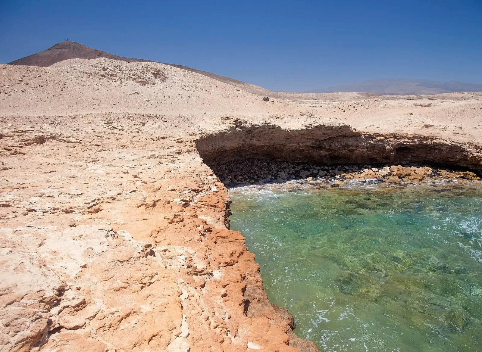
- Eroded volcanic rock point meeting clear turquoise water at Punta de la Sal, Gran Canaria by Tamara k, CC BY-SA 4.0, via Wikimedia Commons
- Playa del Cabron beach and salt flats along the coast beside Punta de la Sal, Gran Canaria by Josefir Instantes, CC BY-SA 4.0, via Wikimedia Commons
In The Logbook
- Cheapest places to scuba dive, and the catchTrip planning · 15 min read
Similar dives elsewhere
Wall
Calçada do Gigante
Azores · Portugal
A wall of vertical rock prisms like an underwater causeway
Wall
Ilhéu do Garajau
Azores · Portugal
A reef wall that splits the islet into a sheltered side and an exposed one
Wall
Astillero
San Sebastián & Getaria · Spain
A rock arch and lobster-filled caves on a deep north wall


A wall that reaches the surface, sloping to 25 m