
Bimini · Bahamas · Reef
Bimini Road
Rows of beachrock slabs in 6 m, argued over since 1968
Area photo: mattk1979 · CC BY-SA 2.0
A long parallel run of weathered limestone blocks lying in about 6 m of water off the northwest coast of North Bimini, set edge to edge closely enough to look like paving. Divers came across it in 1968 and people have argued about it since, though geologists read it as fractured beachrock. The dive is a flat, shallow swim along the slabs, in water Atlantic spotted dolphins use.
Also known as Bimini Wall, Atlantis Road.
Where it is and how deep
25.7669° N, 79.2789° WPublished position for this site.
The dive
There is no real descent here. The boat sits over the formation in about 6 m of water off the northwest coast of North Bimini and you drop straight onto sand beside the blocks. The slabs are weathered rock broken into roughly rectangular, polygonal and irregular pieces, worn round at the corners and laid in a long parallel run across an otherwise featureless bottom.
The dive is a swim along the line of blocks and back, flat the whole way, with nothing under you but sand. At about 6 m the profile costs almost nothing in gas, so the limit is the boat's schedule rather than your air. Pods of Atlantic spotted dolphins frequent this stretch of water, so watch the open side as well as the bottom. The formation reads as a line only from a few metres above it, which makes a wide lens the useful choice.
Background
On 2 September 1968, diving in 5.5 m of water off the northwest coast of North Bimini, Joseph Manson Valentine, Jacques Mayol and Robert Angove came across what they called a pavement. The find fed decades of speculation about a submerged man-made structure. Geologists describe the blocks as beachrock that orthogonal and other joints have broken into roughly rectangular, polygonal and irregular pieces, the remains of an old shoreline that dried and cracked. The shells that make up the rock date to about 3,500 radiocarbon years, uncorrected.
Marine life and season
- Dolphins
| Jan | Feb | Mar | Apr | May | Jun | Jul | Aug | Sep | Oct | Nov | Dec |
|---|---|---|---|---|---|---|---|---|---|---|---|
| Prime | Prime | Prime | Good | Good | Fair | Fair | Fair | Fair | Fair | Good | Good |
Season follows Bimini: Great hammerheads are most consistent December–March; September–October bring peak hurricane risk to the northern Bahamas.
Dive videos
Brads Scuba Cam, Bimini Road · bradley johnson on YouTube
Questions divers ask
Is the Bimini Road man-made?+
Geologists read it as natural beachrock: an old shoreline that dried and cracked, broken by orthogonal and other joints into roughly rectangular, polygonal and irregular blocks. The shells composing it date to about 3,500 radiocarbon years, uncorrected. Divers came across the formation in 1968.
How deep is the Bimini Road?+
It lies in 5.5 to 6 m of water off the northwest coast of North Bimini, flat on sand. That makes it an Open Water dive with a long bottom time, limited by the boat's schedule rather than by your gas.
Sources
- Bimini Road — Wikipedia
- Diving sites Bahamas Bimini — Dive The World
More dive sites in Bimini
Reef
Coral heads standing 8 m off the sand, full of swim-throughs
Wreck
A 60 m barge upright on sand at the Gulf Stream's edge
Reef
Resident female reef sharks over a maze of coral heads
Sand slope
Great hammerheads on open sand at roughly 6 m
Reef
Coral patches worked as a mild north-bound drift
Wreck
A shallow seagrass wreck with resident loggerhead turtles
Reef
Research cables and old anchors scattered over white sand
Reef
A long reef drift on the lip of the Gulf Stream drop-off
Similar dives elsewhere

A shallow reef-top drift where dolphins and turtles turn up
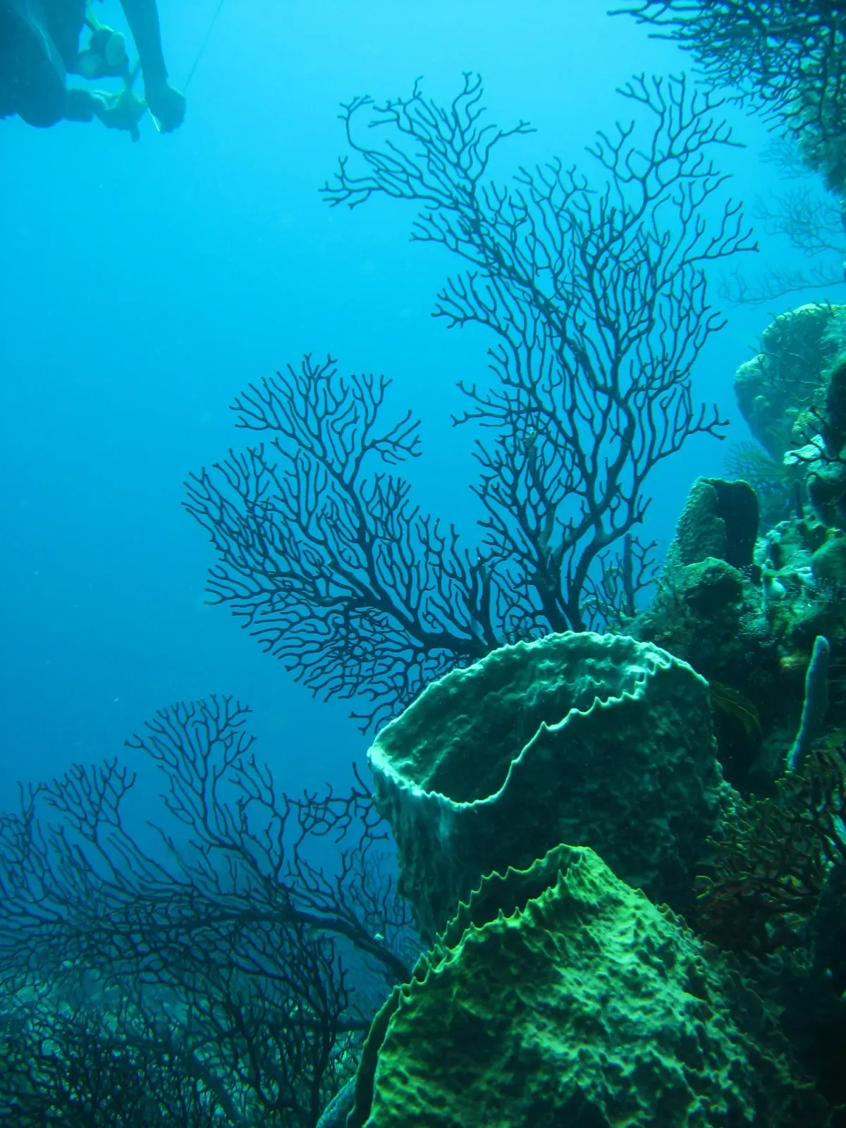
Reef, boulders, walls and pinnacles inside 12 m
Reef
Arnos Vale
Tobago · Trinidad and Tobago
An easy, shallow reef dive north of Plymouth with almost no current
Reef
Blacks Point
Antigua · Antigua and Barbuda
A resident great barracuda patrolling coral-covered boulders