Cat Island · Bahamas · Seamount · Pinnacle
Tartar Bank
A pinnacle off Cat Island rising from 610 m to within 12 m of the surface
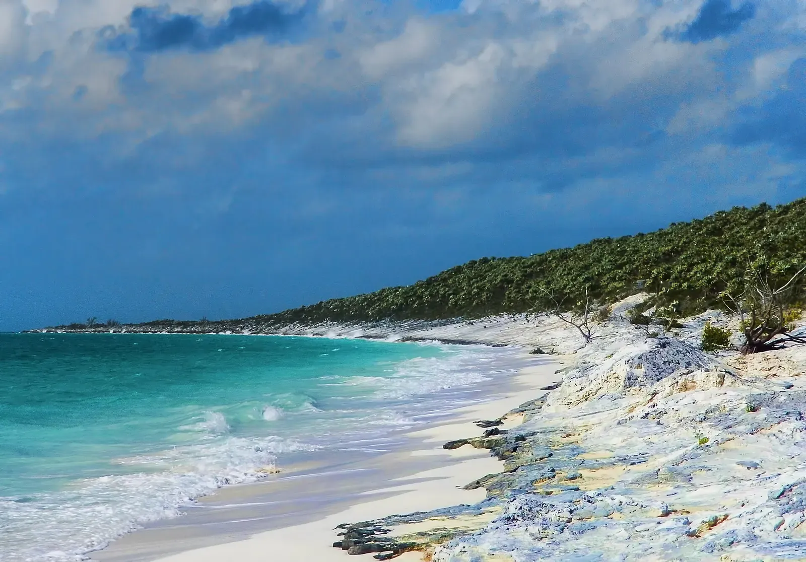
Area photo: Trish Hartmann from Tampa, Florida, USA · CC BY 2.0
Tartar Bank is an offshore seamount a few miles south of Devil's Point, at Cat Island's south-western end: a pinnacle rising from nearly 610 m of water to within about 12 m of the surface. It is a challenging, current-swept dive. Tuna school over it, with marlin following them. No operator publishes a working profile, so the depths and the route come from the boat.
Also known as Tartar Banks.
Where it is and how deep
24.1100° N, 75.5300° WApproximate position — the dashed circle shows where the site lies; your operator's briefing has the mooring.
The dive
Tartar Bank is a crossing rather than a coastal dive: boats run offshore from the southern end of Cat Island to a pinnacle roughly 1.2 km in diameter standing alone in deep water. Published accounts put its shallowest point 12 to 14 m below the surface, and the flanks fall away into 610 m and more, so what can be dived here is the summit and the first of the drop — everything below that is past recreational depth.
The rest is the crew's call. It is a challenging, current-swept dive, and no operator publishes an entry point, a route or a working depth for it, so the plan you dive is the one given on the boat: where to drop, which way the water is running, how long on the top and when to come up. What moves over the bank is pelagic rather than reef: tuna school there often enough that birds work above them, and marlin follow the tuna.
Marine life and season
- Tuna
- Marlin & sailfish
| Jan | Feb | Mar | Apr | May | Jun | Jul | Aug | Sep | Oct | Nov | Dec |
|---|---|---|---|---|---|---|---|---|---|---|---|
| Fair | Fair | Good | Prime | Prime | Prime | Fair | Fair | Off-season | Off-season | Fair | Fair |
Season follows Cat Island: The oceanic whitetip season runs Apr–Jun; outside it the sharks disperse and operators do not run blue-water trips.
Know before you go
- Current is the defining condition here — the site is described as current-swept and sits in open water off the island, so entry and pickup run to the boat's call rather than to a fixed line.
Questions divers ask
Can you scuba dive Tartar Bank?+
Yes, as an advanced offshore boat dive from Cat Island's southern end. The bank is current-swept, the summit sits at 12 to 14 m and the sides fall far past recreational depth, so the dive plan comes from the crew.
How deep is Tartar Bank?+
It is a pinnacle that rises from nearly 610 m of water to within 12 to 14 m of the surface, depending on which published account you take. No operator publishes a working dive profile for it, so the depth actually dived is set by the crew on the day.
Where is Tartar Bank?+
Offshore of Cat Island's southern end, a few miles south of Devil's Point at the island's south-western corner. No survey position for the bank is published, so the marker on this page is derived from that description and is approximate.
Sources
- 2007 World Dive Guide — Tartar Bank, Bahamas Out Islands — Scuba Diving
- Marlin Fishing in Cat Island, Bahamas — Marlin
- OpenStreetMap: Hawks Nest, Cat Island, The Bahamas — OpenStreetMap
More dive sites in Cat Island
Pelagic & blue water
Oceanic whitetips in open water, no reef and no cage
Similar dives elsewhere

Utila's blue-water seamount, with whale sharks passing over

Three pinnacles at 17 m over a mountain falling past 300 m

Off the plateau edge to the tip of the Eye of the Needle
_-_Flickr_-_trishhartmann.jpg)
A shoal topping out at 10 m with a 30 m drop and hard backlight