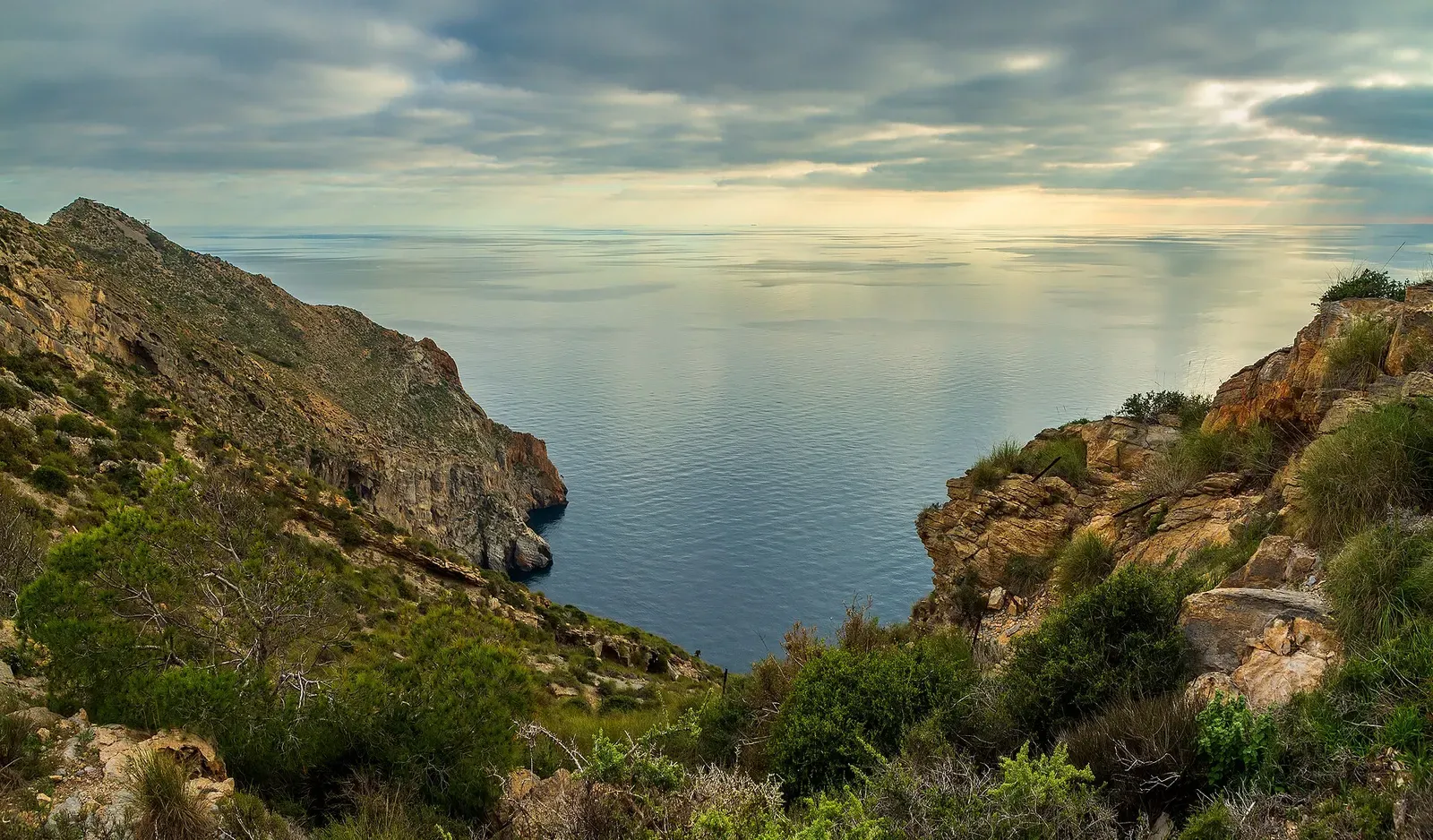
Cabo Tiñoso (La Azohía, Isla Plana & Puerto de Mazarrón) · Spain · Seamount · Pinnacle
Bajo de las Palomas
A shoal topping out at 10 m with a 30 m drop and hard backlight
Area photo: Ximonic (Simo Räsänen) · CC BY-SA 4.0
Bajo de las Palomas is a shoal roughly 100 by 50 m, rising towards a top at 8 to 10 m from a sandy bottom that Scubago puts at 42 m, and dived on full-day boat trips out of Puerto de Mazarrón. Its upper surface is pale with the alga Padina pavonica, and a drop to 30 m on one side throws the hard backlight the site is known for.
Also known as Isla de las Palomas, Bajo de la Isla de las Palomas.
Where it is and how deep
37.5697° N, 1.0437° WPublished position for this site.
The dive
The shoal is a block of rock about 100 by 50 m, rising from sand to a top at 8 to 10 m, with the working ground around it at 35 m and a sandy bottom that Scubago gives as 42 m. Its upper surface is whitened by Padina pavonica, and one side falls away to 30 m — that face is where the site earns its reputation, throwing hard backlight for anyone shooting upwards along it.
Work the rock and the blue at the same time. Moray eels and other benthic fish are down in the structure with scorpionfish, conger and grouper, while shoals of bogue, horse mackerel, damselfish, mullet and bream circle the shoal itself. Out in the water there are tuna hunting small fish, and the operator's fauna list for the shoal adds barracuda, eagle rays and ocean sunfish. Come back up onto the shallow top of the shoal, which gives an unhurried stop at around 10 m.
Marine life and season
- Tuna
- Barracuda
- Groupers
- Reef fish swarms
| Jan | Feb | Mar | Apr | May | Jun | Jul | Aug | Sep | Oct | Nov | Dec |
|---|---|---|---|---|---|---|---|---|---|---|---|
| Fair | Fair | Fair | Good | Good | Prime | Prime | Prime | Prime | Good | Fair | Fair |
Season follows Cabo Tiñoso (La Azohía, Isla Plana & Puerto de Mazarrón): June to September is the comfortable window, and visibility can reach 30 m against a 15 m average; centres run trips year-round, with winter water near 15 °C.
Know before you go
- The top of the shoal is at 8 to 10 m but the ground around it runs to 35 m and the sand to 42 m; without a plan the profile drifts deep early and the dive gets short.
Sources
- Bajo de las Palomas — Scubago — Scubago
- Isla de las Palomas — Scubago — Scubago
- Guía de puntos de buceo en Mazarrón y en la Reserva Marina de Cabo Tiñoso — Buceo Hispania
More dive sites in Cabo Tiñoso (La Azohía, Isla Plana & Puerto de Mazarrón)
Seamount
A ridge crest at 14 m with a statue on the seabed below
Reef
Two dives in one cove: 20 m to the west, canyons to the east
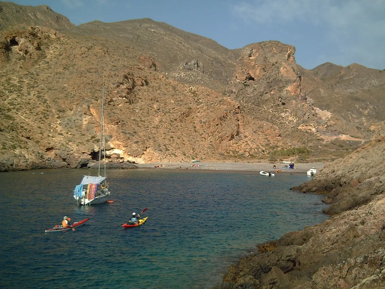
A cove sheltered from wind and swell, 10 m to 30 m
Groupers hold in the frames of a scuttled minesweeper
Seamount
A submerged rock arch at 5–8 m with a shoal running south
Reef
Cobbles and posidonia at 6 m, a rocky wall out to 20 m
A reddish cut in the Cabo Tiñoso cliffs, down to 30 m
Reef
An island wall from 2 m to 18 m over posidonia meadow
Similar dives elsewhere
A seamount from 50 m to centimetres under the surface

Seamount rock from 5 m to past 40 m, gorgonians throughout
Dropping through a volcano-shaped crater to an arch full of eels


Utila's blue-water seamount, with whale sharks passing over