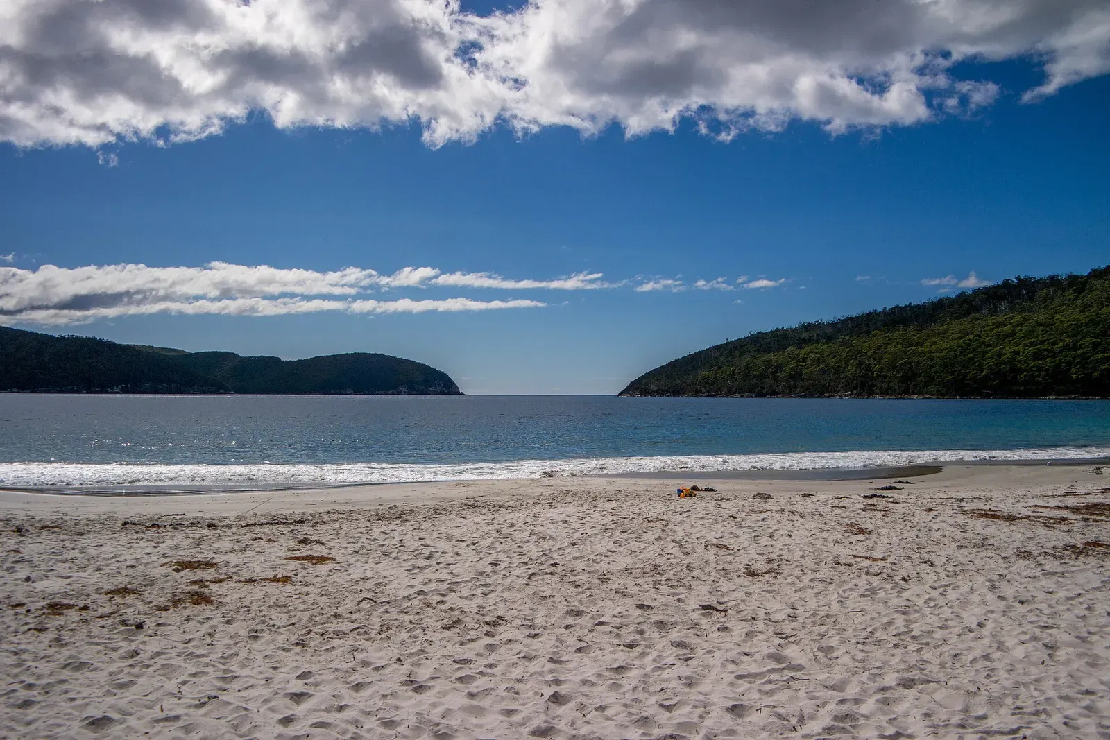
Eaglehawk Neck · Australia · Reef · Sand slope
Fortescue Bay
Beach access at the end of 12 km of unsealed road
Photo: Ida Gjerlevsen Nielsen · CC BY-SA 4.0
Fortescue Bay ends in a wide, white sand beach at the end of 12 kilometres of unsealed road, and the park lists swimming, snorkelling and scuba diving among the things people come here to do. The bay averages 30 metres deep, and inside it Canoe Bay holds the dredge William Pitt, scuttled across the mouth of the cove in 1953 to act as a breakwater.
Where it is and how deep
43.1307° S, 147.9703° EPublished position for this site.
The dive
The drive is the first part of it: 12 kilometres of unsealed road off the A9, suitable for 2WD vehicles and mountain bikes, ending at a wide white sand beach with a campground behind it. The park lists swimming, snorkelling and scuba diving alongside kayaking, fishing, rock climbing and bushwalking as the reasons people come, and the bay averages 30 metres deep, so how far out you go from the beach decides how deep the dive gets.
Canoe Bay, a cove nested inside Fortescue Bay, holds the William Pitt. The dredge was towed down from Hobart and scuttled in the mouth of the cove on 1 July 1953, put there deliberately to act as a breakwater for the fishing boats that shelter in the bay. No published account describes a dive on it, so treat it as a landmark of the cove rather than an established dive until a local operator says otherwise.
Background
The William Pitt reached Australia in April 1907, having been known until then as the Andre Reboucas. It spent 14 years working in Tasmania under the Melbourne Harbour Trust, dredging for the construction of the Hobart Bridge and working at Devonport under the ownership of the Netherlands Harbour Works Company. On 1 July 1953 it was towed from Hobart to Fortescue Bay and scuttled in the mouth of Canoe Bay, at the request of the Minister for Agricultural and Sea Fisheries, to make a breakwater for the many fishing vessels using the area to shelter.
Marine life and season
The sources we used don't single out particular species here.
| Jan | Feb | Mar | Apr | May | Jun | Jul | Aug | Sep | Oct | Nov | Dec |
|---|---|---|---|---|---|---|---|---|---|---|---|
| Prime | Prime | Prime | Good | Good | Fair | Fair | Fair | Good | Good | Good | Prime |
Season follows Eaglehawk Neck: Summer (Dec–Mar) brings the calmest seas and best boat access to exposed sites; winter swell restricts trips to Hippolyte Rocks and Cathedral Cave.
Photos from Fortescue Bay
Bill · CC BY-SA 4.0
Bill · CC BY-SA 4.0
JJ Harrison (https://www.jjharrison.com.au/) · CC BY-SA 3.0
Dive videos
Scuba diving at Fortescue Bay, Tasmania · Jonathan Dernard on YouTube
Fortescue Bay Shore dive · Millie Banner on YouTube
Questions divers ask
Can you dive from the beach at Fortescue Bay?+
The park lists scuba diving and snorkelling among the activities at the bay, alongside swimming and kayaking. The bay averages 30 metres deep, so how far out you go decides how deep the dive gets.
How do you get to Fortescue Bay?+
From Eaglehawk Neck, follow the A9 towards Port Arthur to the junction with the C344, then 12 kilometres of unsealed road down to the bay. It is suitable for 2WD vehicles and mountain bikes, and there is camping at the beach.
Sources
- Fortescue Bay — Wikipedia
- Fortescue Bay Camping | Parks & Wildlife Service Tasmania — Tasmania Parks and Wildlife Service
Photo credits
- Sandy beach at Fortescue Bay with calm turquoise water and forested headlands in daylight by Ida Gjerlevsen Nielsen, CC BY-SA 4.0, via Wikimedia Commons
- Fortescue Bay beach with kelp wrack on the sand and wooded headlands under a bright sky by Bill, CC BY-SA 4.0, via Wikimedia Commons
- Fortescue Bay beach with turquoise water, white sand and drifts of kelp along the shoreline by Bill, CC BY-SA 4.0, via Wikimedia Commons
- Dark rocky shoreline of Fortescue Bay at dawn with soft violet sky reflected on calm water by JJ Harrison (https://www.jjharrison.com.au/), CC BY-SA 3.0, via Wikimedia Commons
More dive sites in Eaglehawk Neck
Cave & cavern
A massive entrance running back into tunnels and cross passages
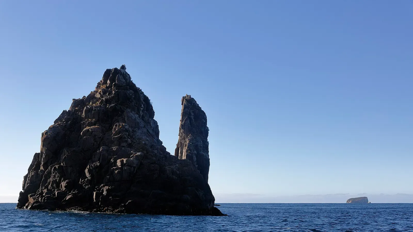
Deep sponge reef and fur seals on Tasmania's hardest pinnacle
Wreck
One of Tasmania's few intact wrecks, in 42 m off Hippolyte Rocks
Similar dives elsewhere

Juvenile fish over sand and rock groups, from 5 m to about 20 m
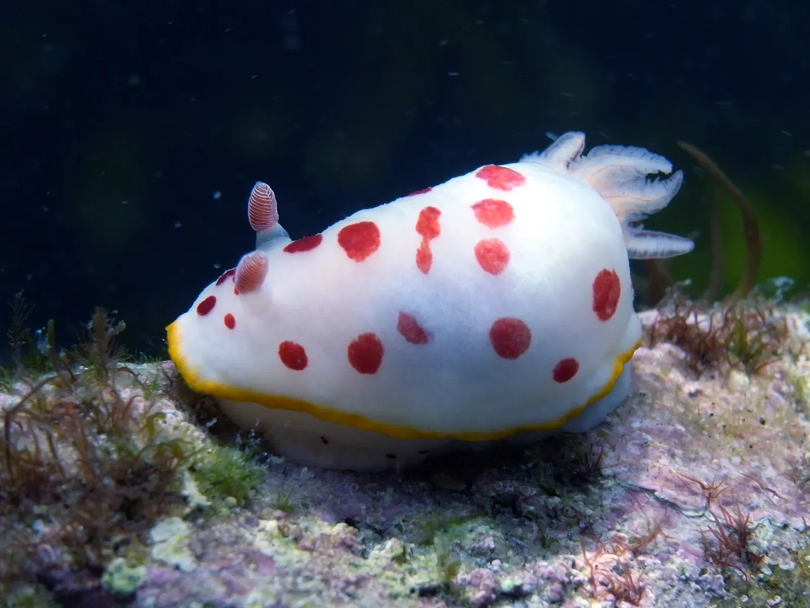
Beach entry to a jetty and a sunken barge at 12 m

A resident Maori wrasse called George, and a slope to 30 m
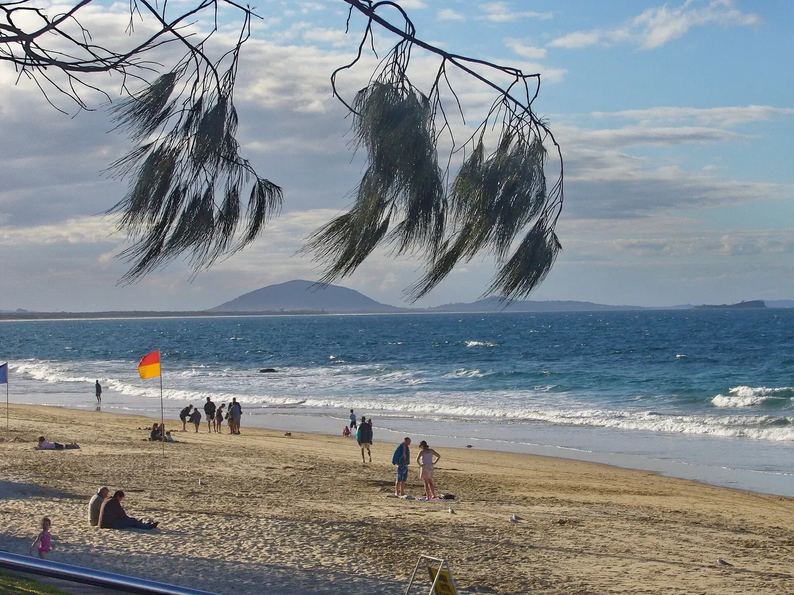


A 12 m ledge where rays stop to be cleaned