
Eaglehawk Neck · Australia · Wreck
SS Nord
One of Tasmania's few intact wrecks, in 42 m off Hippolyte Rocks
Area photo: ElPhantomero · CC BY-SA 4.0
The Nord was an 88-metre cargo steamer that struck a sunken pinnacle at Hippolyte Rocks on 8 November 1915 and now lies in 42 metres of water off the Tasman Peninsula. Her superstructure has collapsed, but she still resembles a ship, with the bow and stern reasonably intact and the rudder still moving under colourful encrusting growth. Depth and exposure make her an experienced-divers-only trip.
Also known as The Nord.
Where it is and how deep
43.1221° S, 148.0532° EApproximate position — the dashed circle shows where the site lies; your operator's briefing has the mooring.
The dive
The Nord lies in 42 metres out at Hippolyte Rocks, beyond the operator's standard dive range, so getting on her means a settled day and a longer boat run than the coastal sites. She is 88 metres of cargo steamer, and the depth is what shapes the dive: this is planned as a deep dive with a short working window on the bottom, on a hull far too long to cover in one pass.
What is down there still reads as a ship. The superstructure has collapsed, but the bow and the stern are reasonably intact and the rudder still moves, and the structure is covered in colourful encrusting marine life with fish holding around it. Those intact ends are the landmarks divers navigate by, and they are why the wreck counts among Tasmania's few intact ones.
Everything about the trip is weather-dependent. The site is exposed to southerly and easterly weather and can be prone to currents, so it runs on the forecast rather than to a schedule, and a booked date is no guarantee the boat goes out that far. Because it sits beyond the operator's standard dive range, the run also carries a fuel surcharge, and the day is built around this dive rather than fitted between the closer coastal sites.
The wreck
- Vessel
- SS Nord
- Type
- Cargo steamer
- Length
- 88 m (289 ft)
- Sunk
- 1915
- Cause
- Struck a sunken pinnacle at Hippolyte Rocks
- Lies
- In 42 m off Hippolyte Rocks; superstructure collapsed but she still resembles a ship, bow and stern reasonably intact
The Nord was a cargo steamer carrying case oil when she struck a sunken pinnacle at Hippolyte Rocks, off the Tasman Peninsula, on 8 November 1915. All of her crew survived. More than a century on she is one of Tasmania's few intact shipwrecks: the superstructure has collapsed, but the bow and stern are still reasonably intact and the rudder still moves. Wikipedia's list of Tasmanian shipwrecks records her simply as a popular dive wreck.
Marine life and season
The sources we used don't single out particular species here.
| Jan | Feb | Mar | Apr | May | Jun | Jul | Aug | Sep | Oct | Nov | Dec |
|---|---|---|---|---|---|---|---|---|---|---|---|
| Prime | Prime | Prime | Good | Good | Fair | Fair | Fair | Good | Good | Good | Prime |
Season follows Eaglehawk Neck: Summer (Dec–Mar) brings the calmest seas and best boat access to exposed sites; winter swell restricts trips to Hippolyte Rocks and Cathedral Cave.
Know before you go
- The site is exposed to southerly and easterly weather and can be prone to currents, so trips run only when the forecast holds.
- The wreck lies at 42 metres, deeper than standard recreational limits; the operator's minimum for it is a Deep Diver Specialty qualification or equivalent.
Questions divers ask
How deep is the SS Nord?+
The wreck lies in 42 metres off Hippolyte Rocks, which puts it beyond ordinary recreational limits. The operator's minimum for the trip is a Deep Diver Specialty qualification or equivalent.
When did the SS Nord sink?+
On 8 November 1915, after striking a sunken pinnacle at Hippolyte Rocks. She was carrying case oil at the time, and all of her crew survived the wrecking.
Sources
- SS Nord — Eaglehawk Dive Centre
- List of shipwrecks of Tasmania — Wikipedia
- Dive Trips — Eaglehawk Dive Centre
More dive sites in Eaglehawk Neck
Cave & cavern
A massive entrance running back into tunnels and cross passages
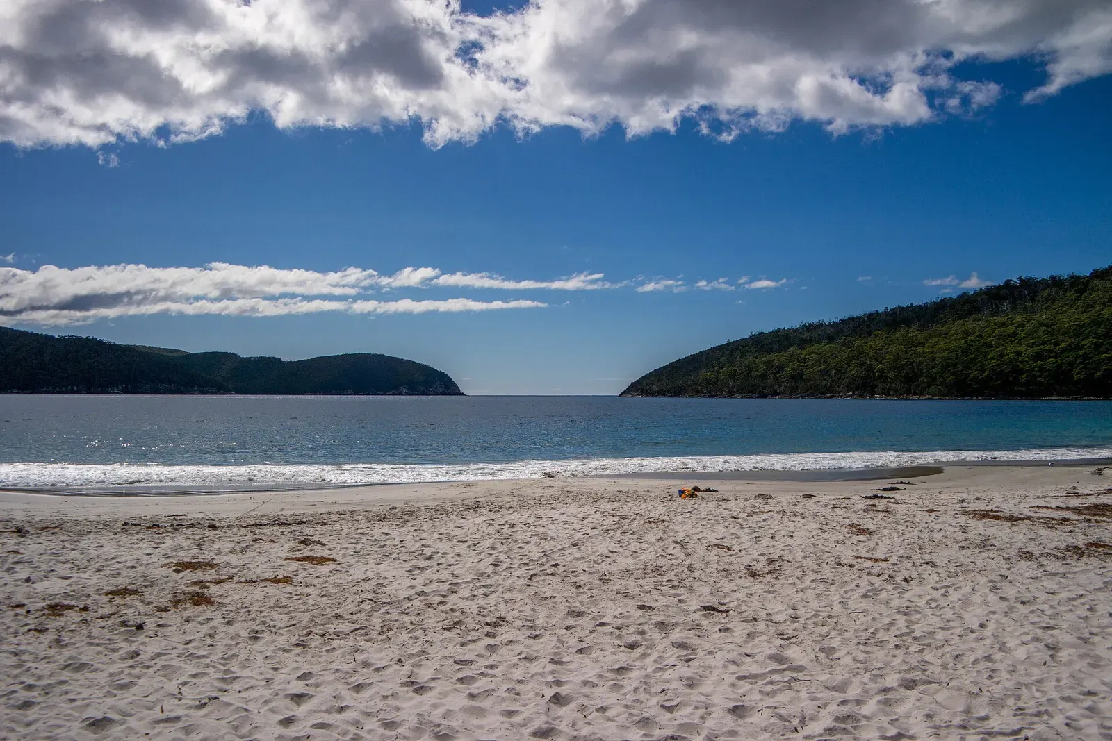
Beach access at the end of 12 km of unsealed road
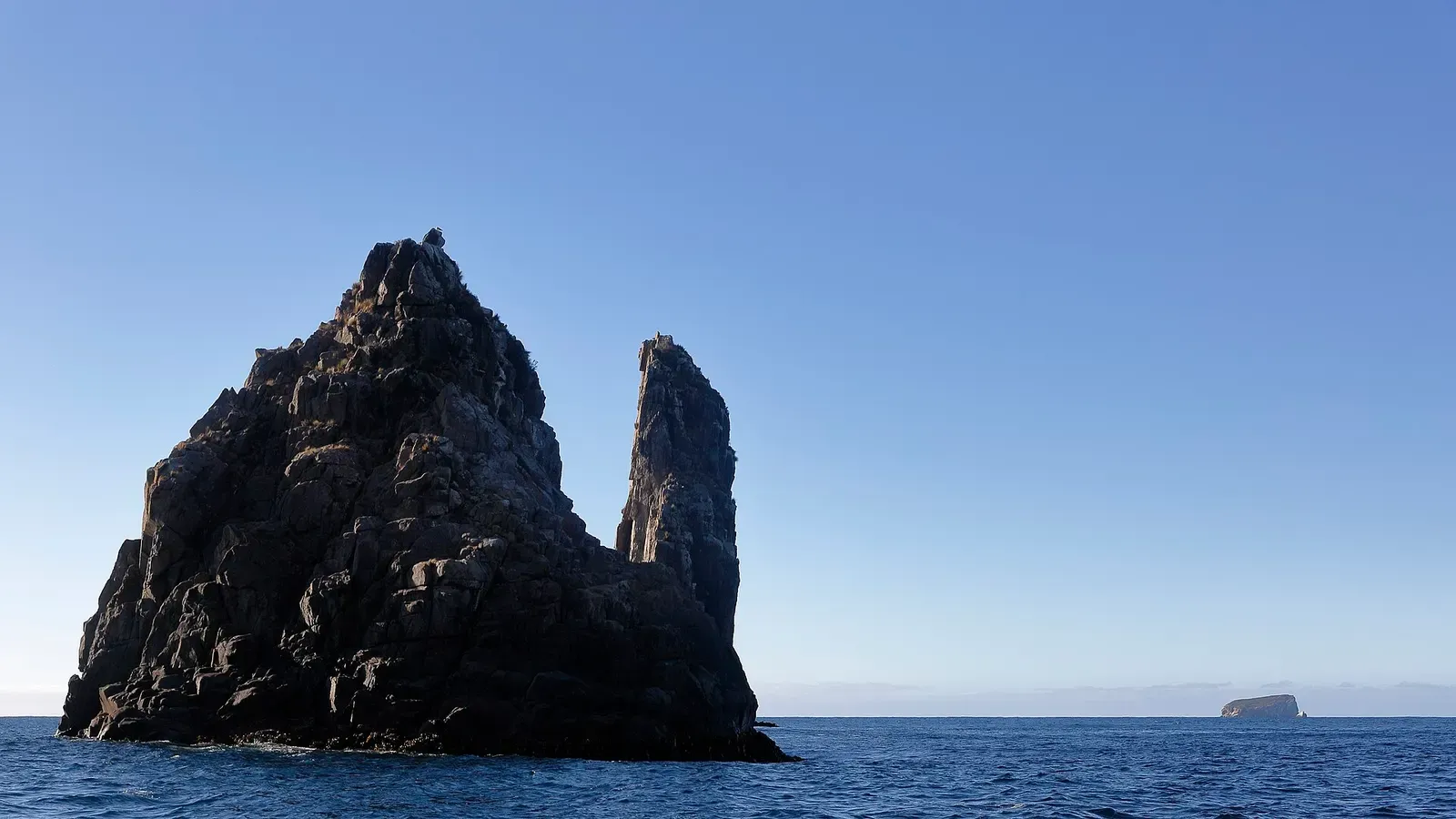
Deep sponge reef and fur seals on Tasmania's hardest pinnacle
Similar dives elsewhere
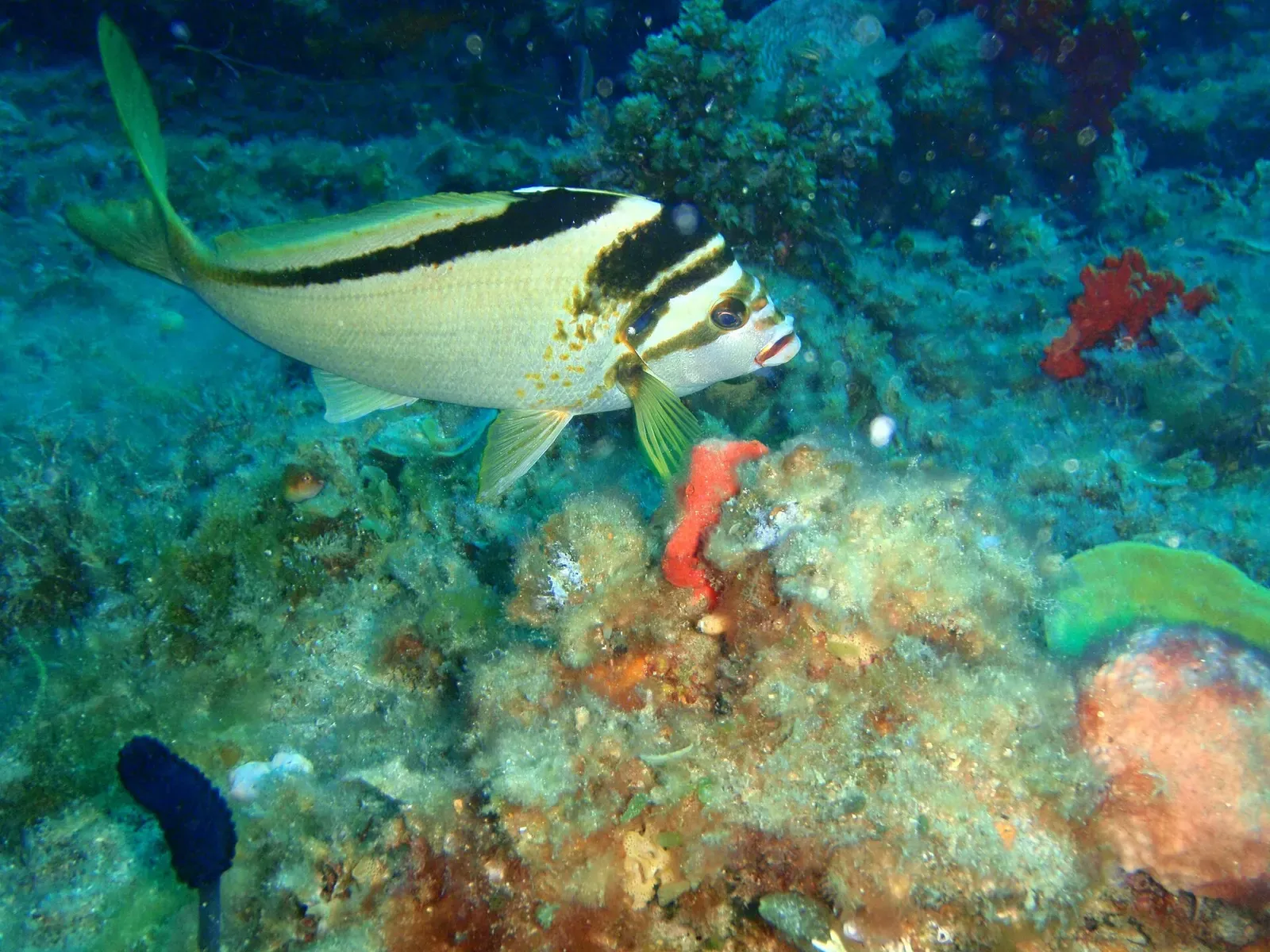
A 133 m destroyer on a fixed mooring, 5 m down to 36 m
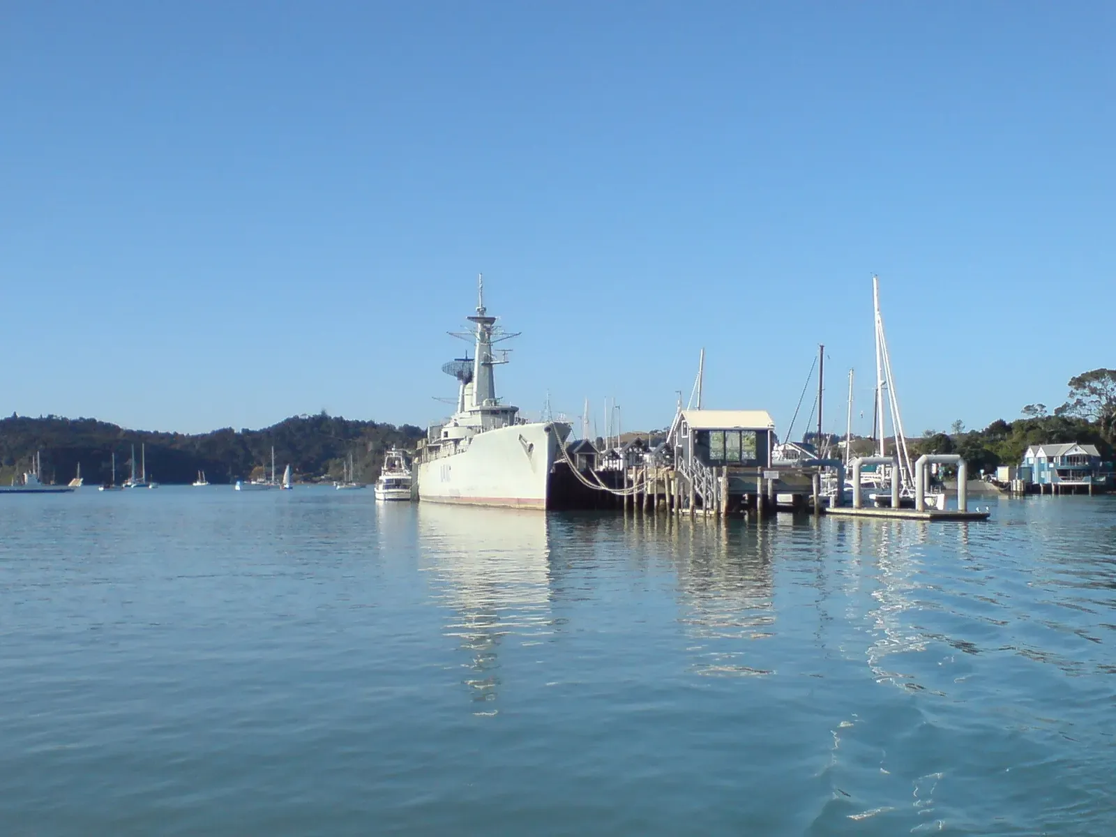
An intact navy frigate, 30 minutes out of Paihia

A scuttled 1887 ferry at 33-35 m, bow and stern intact

Chains, cables and the 1914 Wallarah wreck under a coal jetty in 11 m