Morro Bay & Port San Luis · United States · Pinnacle
Souza Rock
Pinnacle rising from about 37 m to within 6 m of the surface
Area photo: jkirkhart35 · CC BY 2.0
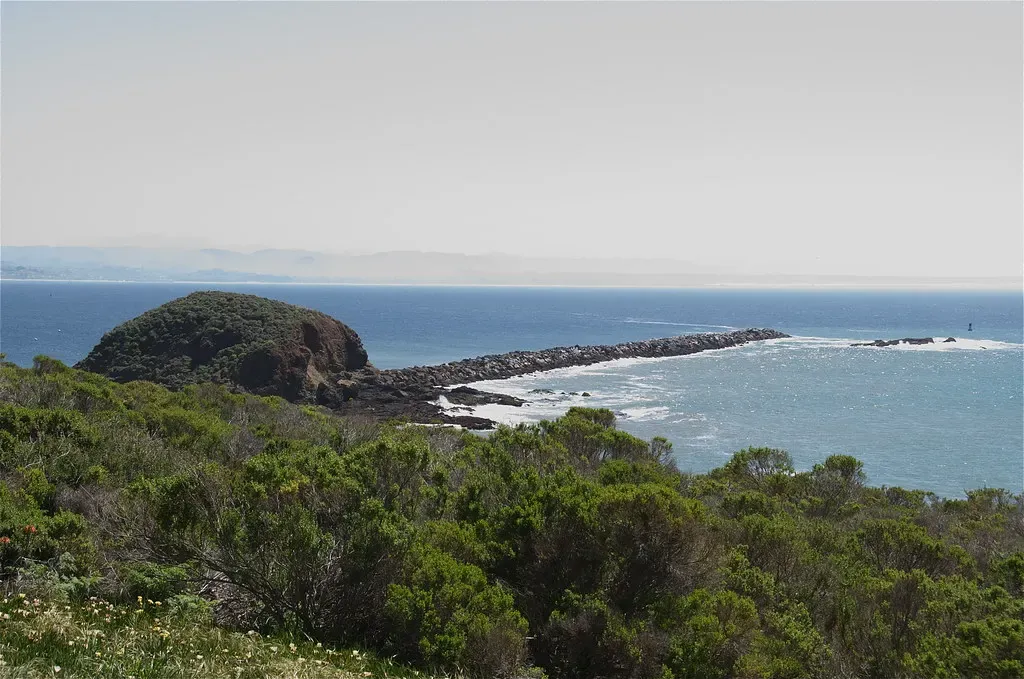
Souza Rock is an offshore pinnacle on the Central Coast between Port San Luis and Morro Bay. Its top sits at about 6 m (20 ft) below the surface and its base lies near 37 m (120 ft), so one dive can run from a shallow summit down to depths that call for deep training. It is reached by small boat from the Port San Luis or Morro Bay launches.
Where it is and how deep
35.1307° N, 120.7389° WPublished position for this site.
The dive
Souza Rock is a pinnacle with its top at about 6 m (20 ft) and its bottom around 37 m (120 ft). White anemones cover the rock, with some scallops and fish. A large cave sits around 29 m (95 ft), and an arch lies at the bottom of the pinnacle, and the site is a beautiful spot for photography.
Marine life and season
The sources we used don't single out particular species here.
| Jan | Feb | Mar | Apr | May | Jun | Jul | Aug | Sep | Oct | Nov | Dec |
|---|---|---|---|---|---|---|---|---|---|---|---|
| Fair | Fair | Fair | Fair | Fair | Fair | Fair | Fair | Fair | Fair | Fair | Fair |
Season follows Morro Bay & Port San Luis: No month stands out; the water ranges 7–13 °C with the time of year, and fast-changing weather decides which days the boat sites can be dived.
Know before you go
- The pinnacle bottoms out near 37 m (120 ft).
- Water of 7–13 °C (45–55 °F) depending on the time of year; extra thermal protection might be needed.
- Weather along the Central Coast can change very quickly and should be a top concern.
Dive videos
Avila California, Wolf Eel Souza Rock · Shawn & Tiffany stamback on YouTube
Whales almost eat Divers (Original Version) · Shawn & Tiffany stamback on YouTube
Questions divers ask
How deep is Souza Rock?+
The top of the pinnacle is at about 6 m (20 ft) and the base lies around 37 m (120 ft), so the full profile needs deep training.
Sources
- Coastal Dive Sites-Avila (Port San Luis) to Big Sur — Channel Islands Dive Adventures
- NOAA ENC Direct to GIS — charted rocks — NOAA Office of Coast Survey
More dive sites in Morro Bay & Port San Luis
Kelp forest
Thick kelp beds along Highway 1 just past Cayucos
Reef
A large rock topping out about 5 m under the surface
Reef
Surface-breaking rock in kelp with lingcod and rockfish at 6–15 m
Pinnacle
Large pinnacles off Point Buchon, from 8 m to past 30 m
Pinnacle
A large field of jagged pinnacle tops at around 6 m
Reef
Rocky ground to 15 m with lingcod, cabezon and kelp bass
Similar dives elsewhere
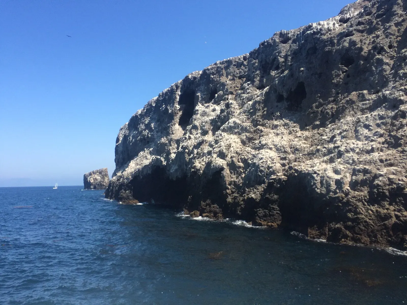
A 12 m natural bridge marking the edge of a no-take marine reserve
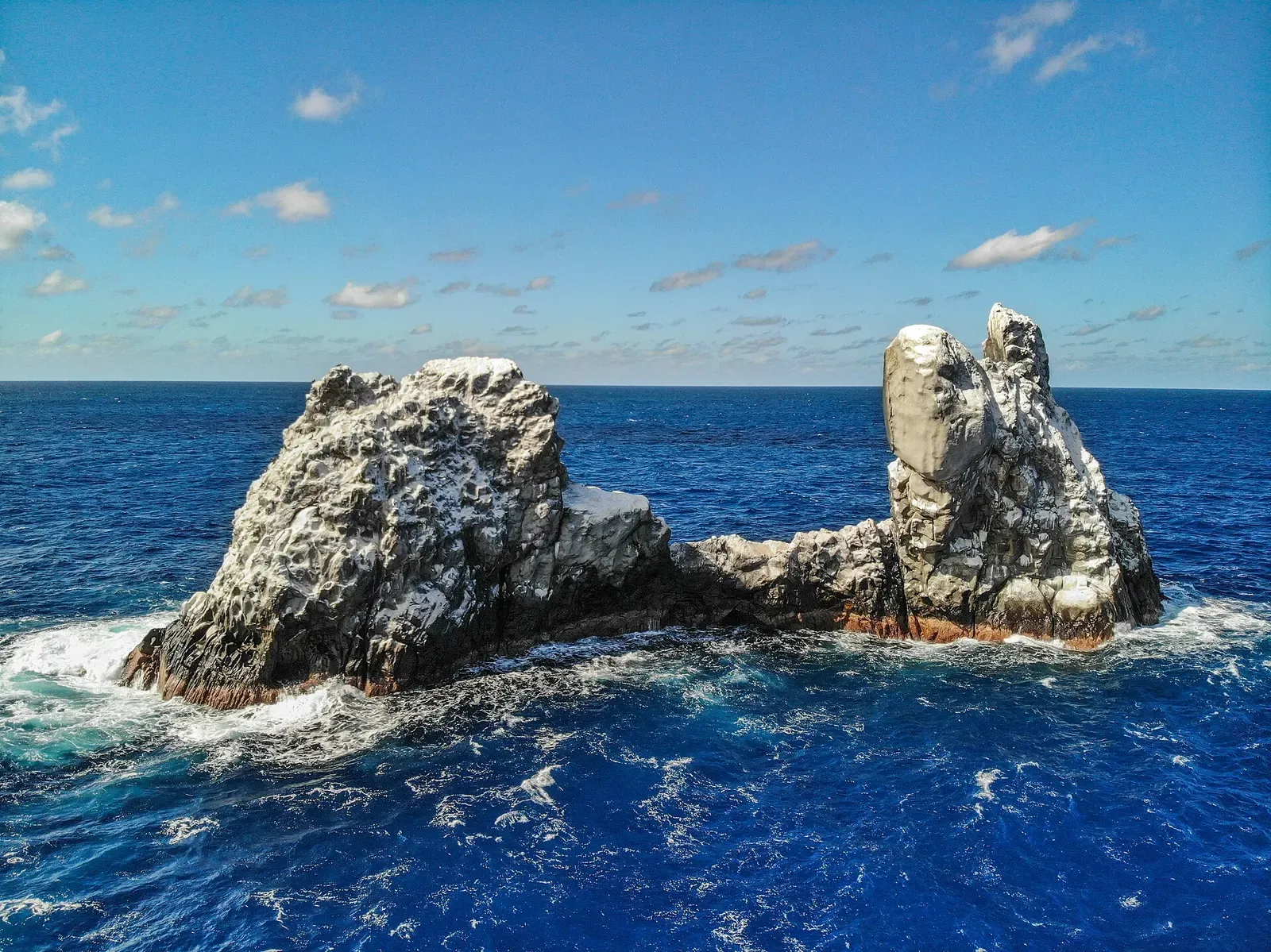
A rock small enough to swim around, sharks on every side
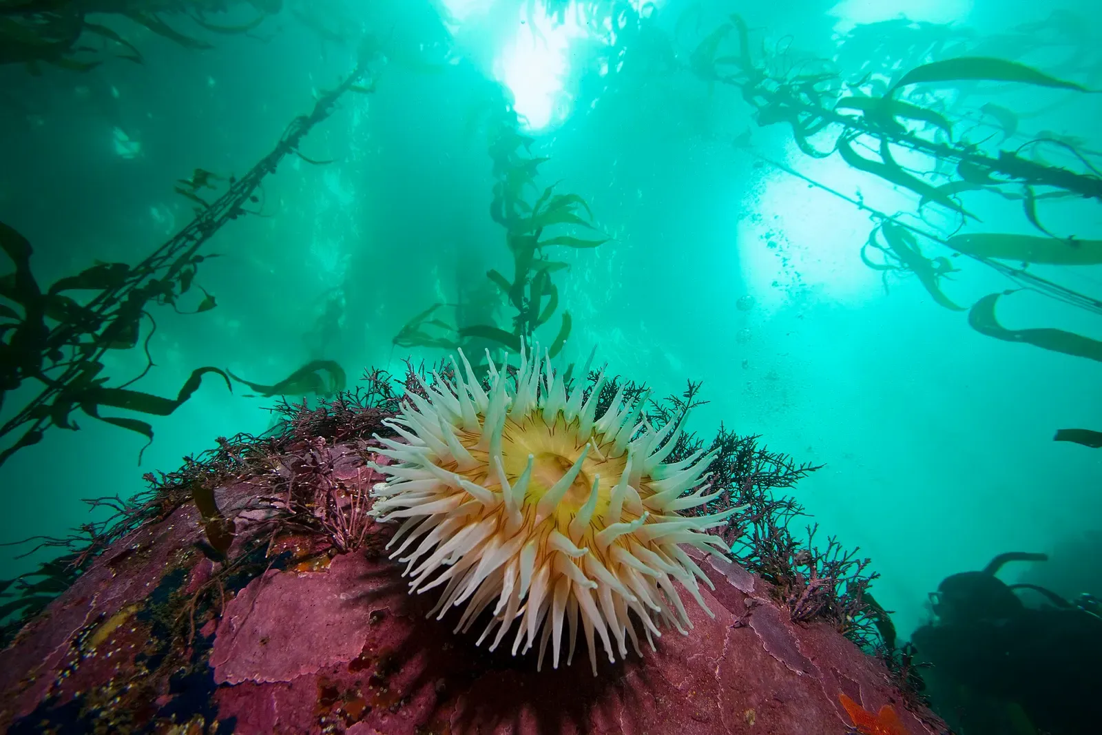
Granite pinnacle at 12 m (40 ft) with a vertical wall on its offshore face
Giant Pacific mantas cleaned by Clarion angelfish on a shallow pinnacle