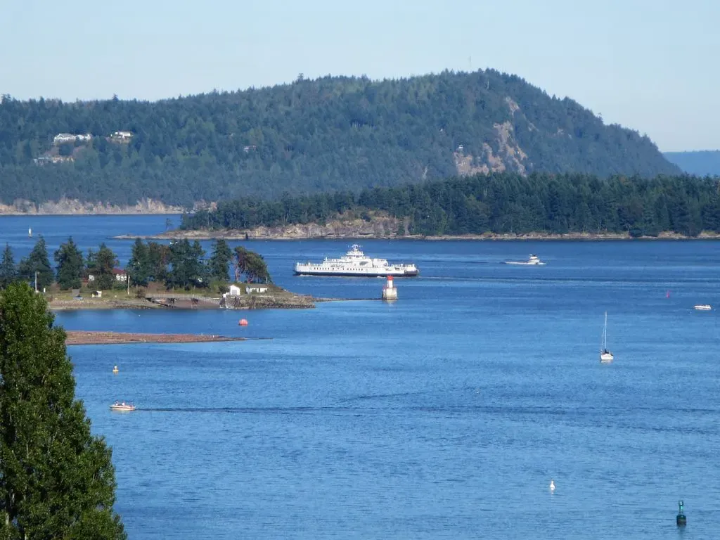
Gabriola Bluffs is a steep wall off Gabriola Island and one of the most dramatic wall dives in the Nanaimo region. It drops away almost at once into a vertical face covered in anemones and sponges, patrolled by large lingcod, and its currents make it an advanced dive.
Also known as Gabriola Bluff.
Where it is and how deep
No published position for this site — the map shows Nanaimo & Gabriola Island and its other sites; operators know the mooring.
The dive
Divers enter with a negative entry from a live boat and descend straight down the face; the top of the wall rises above the surface and drops away almost immediately into a vertical wall of anemones, sponges and deep-water rock formations. The dive works the wall between 18 and 36 m (60–120 ft), though the face extends much deeper. White and orange plumose anemones cascade down the rock, large lingcod patrol the ledges, rockfish favour the overhangs and pockets, and boot sponges grow in the deeper sections.
Marine life and season
The sources we used don't single out particular species here.
| Jan | Feb | Mar | Apr | May | Jun | Jul | Aug | Sep | Oct | Nov | Dec |
|---|---|---|---|---|---|---|---|---|---|---|---|
| Prime | Prime | Prime | Fair | Fair | Fair | Fair | Fair | Prime | Prime | Prime | Prime |
Season follows Nanaimo & Gabriola Island: Clearest water runs September to March; spring and summer blooms cloud the surface layer.
Know before you go
- Current can be significant, especially near the surface, and conditions can shift quickly.
- Downwellings and upwellings run along the wall.
Sources
- Gabriola Bluffs dive charter — Nanaimo Dive Outfitters
More dive sites in Nanaimo & Gabriola Island
Reef
Often 6–10 wolf eels on a single dive
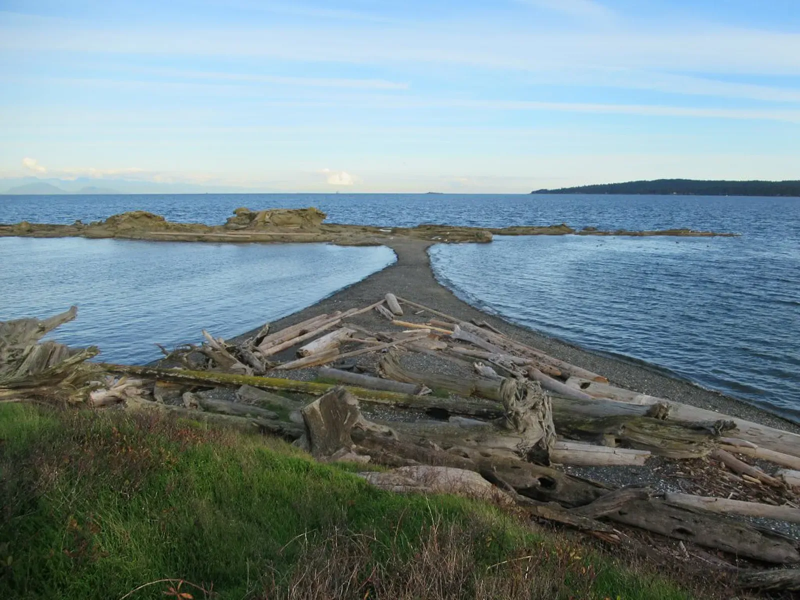
Six decks of navy ship, the largest artificial reef in the Pacific Northwest
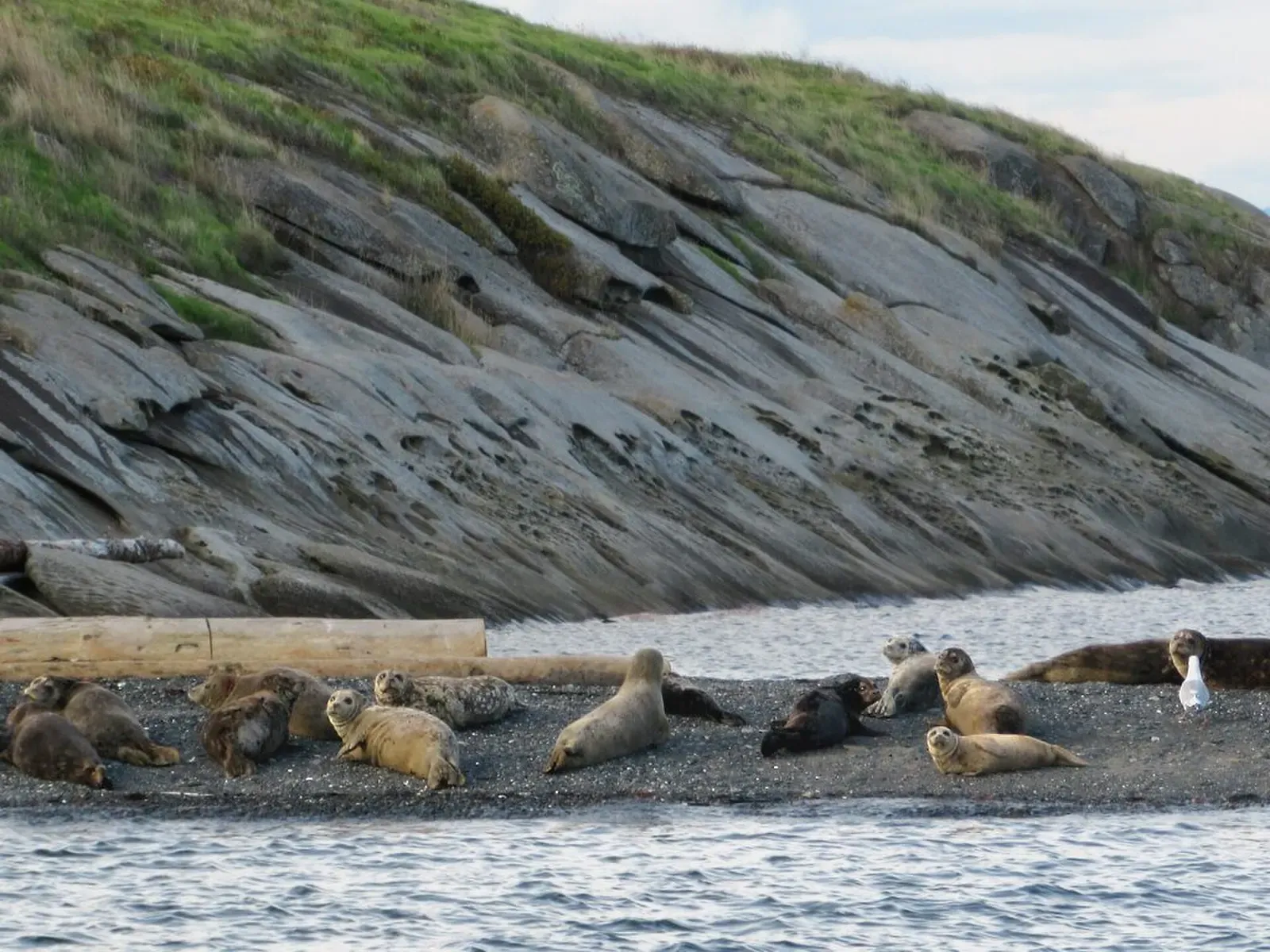
An upright navy destroyer escort reached from its mid-ship buoy
Wreck
A WWII tug in sheltered Departure Bay that newer divers can manage
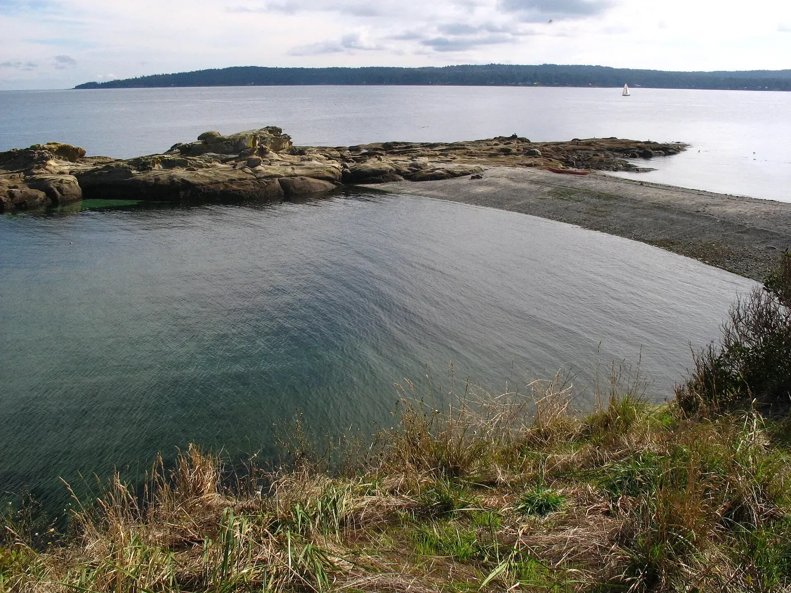
A plumose-covered pinnacle rising from deep water beside the navy wrecks
Similar dives elsewhere
Wall
Hottane
Kristiansund & the Atlantic Ocean Road · Norway
Clear water under the salinity layer
Wall
Kittiwake Rookery
Whittier & Prince William Sound · United States
A wall beneath a kittiwake colony, 5–10 minutes by small boat
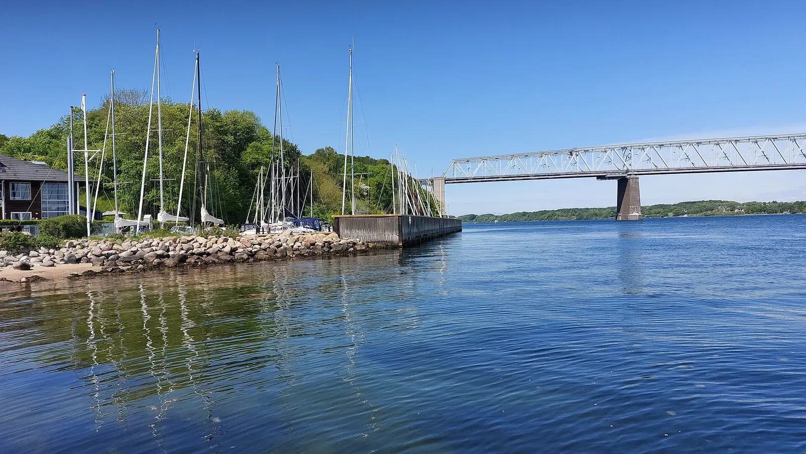
The shortest swim from shore to 40 m anywhere in Lillebælt
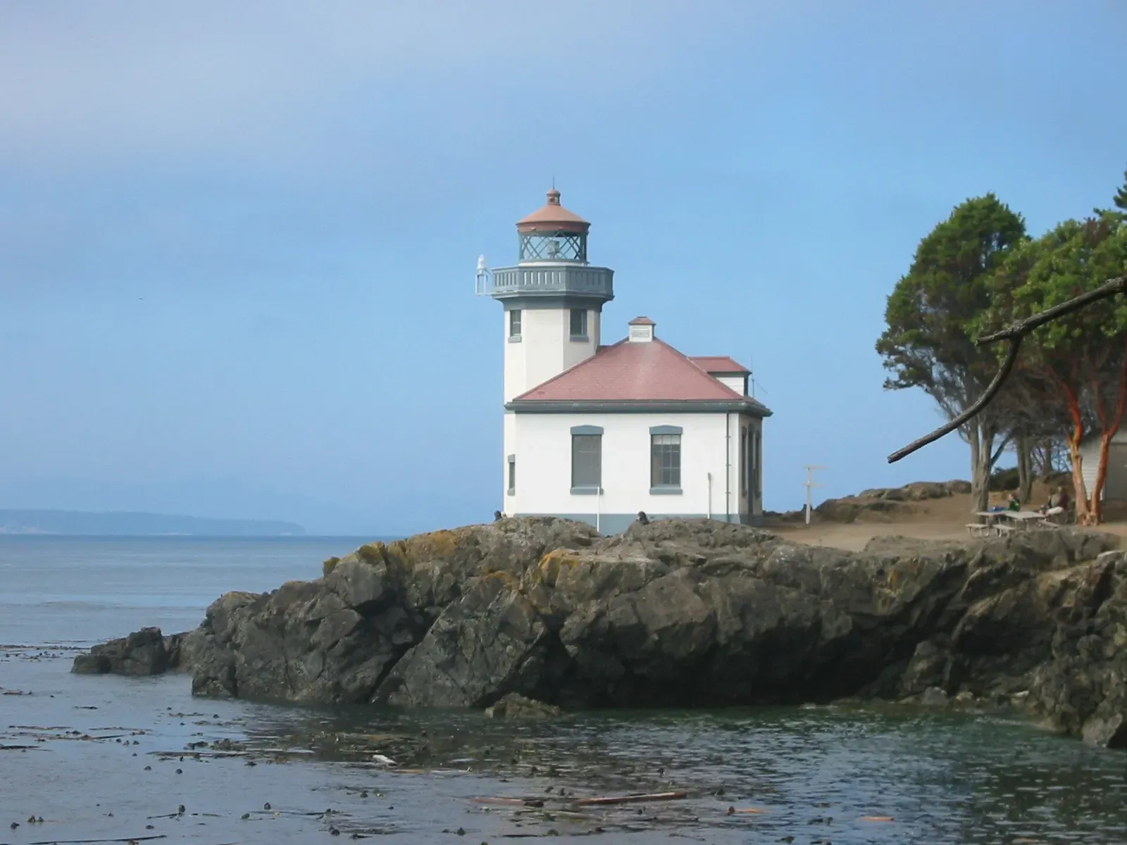
Bull kelp over a cliff that rolls down to nearly 37 m (120 ft)