RMS Rhone & Salt Island · British Virgin Islands · Wreck · Artificial reef
Wreck Alley
Four scuttled hulls on one mooring, from 20 to 27 m
Area photo: Gareth Richards · CC BY 3.0
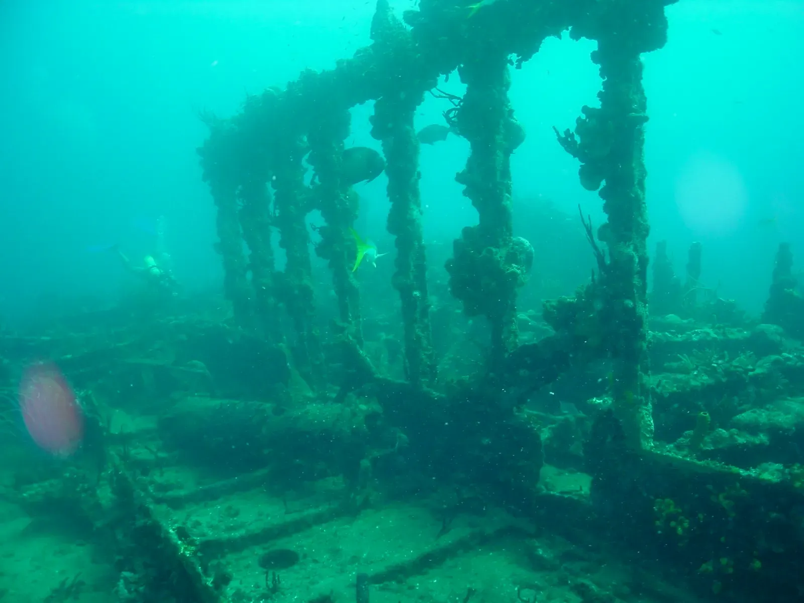
Four vessels deliberately sunk on the south-western side of Cooper Island and dived as one site, in about 20 to 27 metres. Pat and Beatta were tugboats, Island Seal and Mary L cargo boats; the two small ones are a pass rather than a dive in themselves. Octopus work the hulls while stingrays, garden eels and conches use the sand around them.
Where it is and how deep
18.3680° N, 64.5200° WApproximate position — the dashed circle shows where the site lies; your operator's briefing has the mooring.
The dive
One mooring, four wrecks. The hulls lie on the south-western side of Cooper Island in about 20 to 27 metres, close enough together that all four can be covered on a single tank if your air consumption is good and the pace stays relaxed. Beatta and Island Seal are the substantial wrecks; Mary L and Pat are small, and the Pat and Mary L sit upright and adjacent to each other on the sand.
Give the sand between the hulls its share of the dive. The wrecks have become artificial reef and hold reef fish and octopus, while the sandy bottom is a feeding ground for stingrays, garden eels, conches and the occasional eagle ray. Nothing here is shallow: at 20 to 27 metres the depth is the limiting factor from the moment you land, so watch the computer as closely as the contents gauge.
The wreck
- Vessel
- Mary L, Pat, Beatta and Island Seal
- Type
- Two cargo vessels and two tugboats
- Cause
- Deliberately sunk to create an artificial reef for divers
- Lies
- Four hulls on the south-western side of Cooper Island, in about 20 to 27 m
Marine life and season
- Octopus & cuttlefish
- Stingrays
| Jan | Feb | Mar | Apr | May | Jun | Jul | Aug | Sep | Oct | Nov | Dec |
|---|---|---|---|---|---|---|---|---|---|---|---|
| Prime | Prime | Prime | Prime | Good | Good | Good | Fair | Fair | Fair | Good | Prime |
Season follows RMS Rhone & Salt Island: Nov–Jun is calmest and clearest; Aug–Oct hurricane season brings swell that can close the exposed Rhone site entirely.
Know before you go
- Four separate hulls at 20 to 27 m tempt a longer route than your gas allows; agree which wrecks you are diving before you drop and watch the contents gauge on the far ones.
Questions divers ask
How many wrecks are at Wreck Alley?+
Four: Mary L, Pat, Beatta and Island Seal, all deliberately sunk off Cooper Island. A fifth vessel, Inganess Bay, lies close by in similar depth but is largely broken up.
How deep is Wreck Alley?+
The group sits between about 20 and 27 metres. All four hulls can be covered on one tank at a relaxed pace, but the depth keeps the dive short and puts the site past Open Water limits.
Sources
- Diving in the British Virgin Islands — Wikivoyage
- British Virgin Islands Diving Sites — Dive The World
More dive sites in RMS Rhone & Salt Island
Coral ridges in north-south lines with sand lanes between
Reef
Sheltered canyons and ridges off the tip of Norman Island
Pinnacle
An amphitheatre of rock, ledges and swim-throughs to 18 m
Overhangs and a gentle slope in 6 to 15 m off Cooper Island
Reef
A rocky islet between Ginger and Cooper, sloping to 30 m
Wreck
A 1988 refrigeration ship at 23 m, a long run offshore
Reef
Pillar and black coral at 21 m with pelagics passing through
Wall
A three-step wall with different growth on every ledge
Similar dives elsewhere

A 100 m cable layer with a 40 m cable corridor through her hull
Stairwells, cabins and an intact mess table at 12 to 33 m
A hull that was placed rather than lost, upright at 25 m


A 1944 US Navy minesweeper, split in two at 26 metres