RMS Rhone & Salt Island · British Virgin Islands · Pinnacle
Blonde Rock
An amphitheatre of rock, ledges and swim-throughs to 18 m
Area photo: Gareth Richards · CC BY 3.0
A pinnacle off Dead Chest Island, dived from what the crews call the amphitheatre and worked around ledges, ridges and swim-throughs to a maximum of 18 m. Local operators rate it advanced despite that modest depth: the interest is the topography and the amount of reef life on it, not the numbers.
Where it is and how deep
18.3691° N, 64.5504° WApproximate position — the dashed circle shows where the site lies; your operator's briefing has the mooring.
The dive
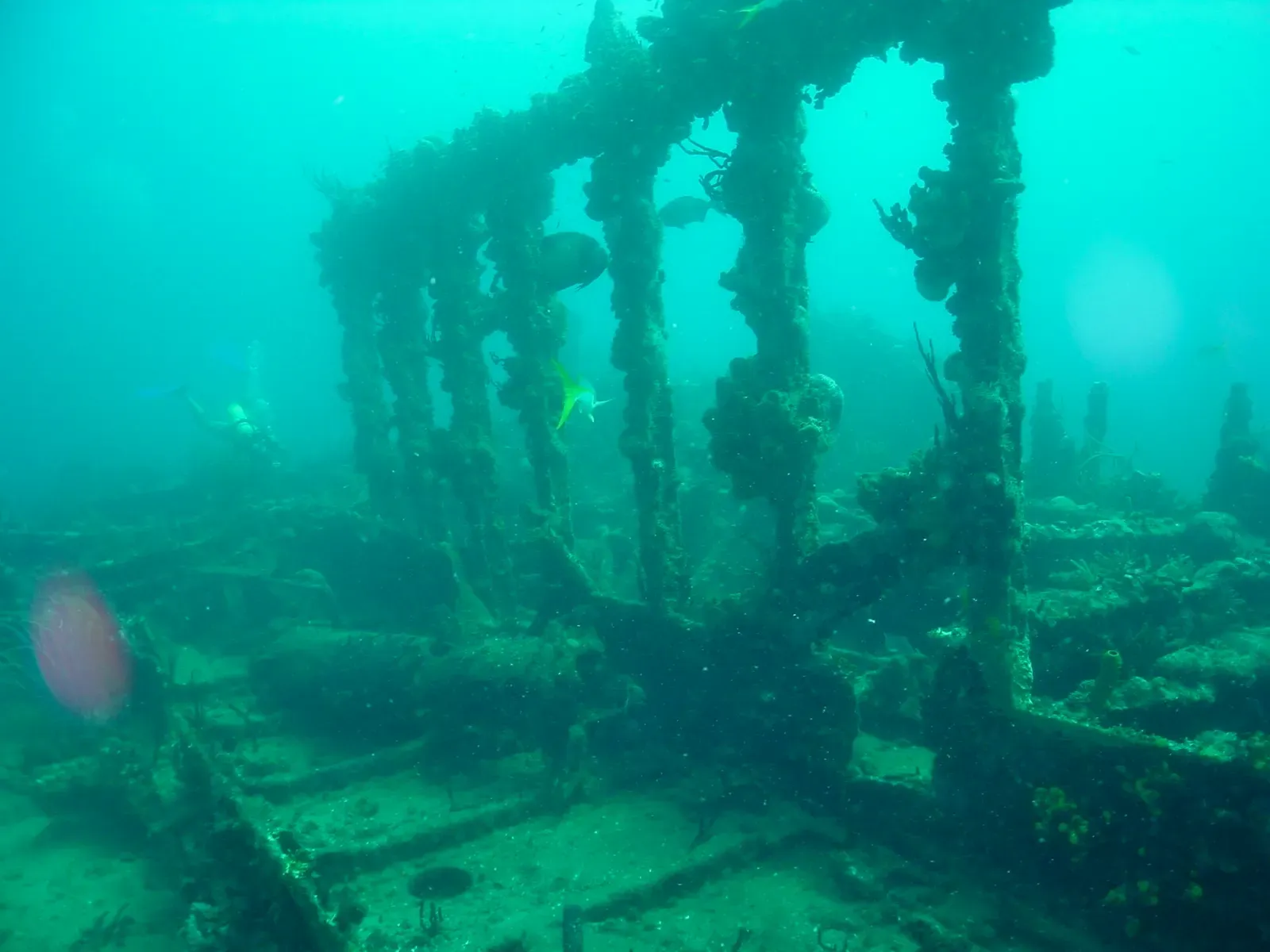
The dive begins in what the crews call the amphitheatre and works outwards from there. Below it the pinnacle breaks into ledges and ridges that run around the structure, none of it deeper than 18 m, with a healthy coral reef growing over the rock and an unusual amount of reef life for a pinnacle this size. It is a site to swim slowly rather than cover end to end.
Take the swim-throughs as they come and slow down at the ledges and ridges, which is where the critters sit — this is a dive for looking into holes rather than out into the blue. Because the whole profile is inside 18 m, gas rather than depth is what ends the tank. Local operators still list the site as advanced, so it is not the one to pick on a first boat dive.
Marine life and season
- Macro critters
| Jan | Feb | Mar | Apr | May | Jun | Jul | Aug | Sep | Oct | Nov | Dec |
|---|---|---|---|---|---|---|---|---|---|---|---|
| Prime | Prime | Prime | Prime | Good | Good | Good | Fair | Fair | Fair | Good | Prime |
Season follows RMS Rhone & Salt Island: Nov–Jun is calmest and clearest; Aug–Oct hurricane season brings swell that can close the exposed Rhone site entirely.
Dive videos
Mergulho incrível em Blonde Rock, BVI · Ocean Eyes Experience on YouTube
Sources
- Dive Sites — Sail Caribbean Divers
- Dive Sites — Sail Caribbean Divers
- OpenStreetMap Nominatim: Dead Chest Island — OpenStreetMap
Photo credits
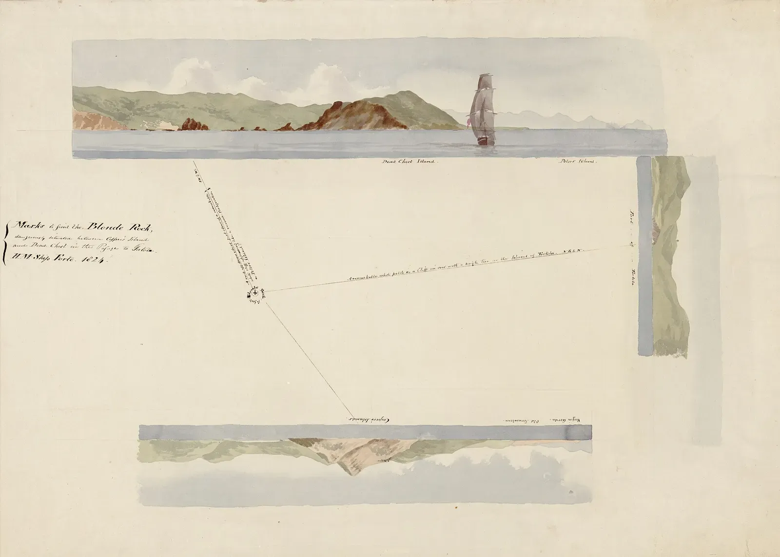
- 1824 pen-and-ink Royal Navy chart marking bearings to locate the submerged Blonde Rock by Unknown authorUnknown author, Public domain, via Wikimedia Commons
More dive sites in RMS Rhone & Salt Island
Coral ridges in north-south lines with sand lanes between
Reef
Sheltered canyons and ridges off the tip of Norman Island
Overhangs and a gentle slope in 6 to 15 m off Cooper Island
Reef
A rocky islet between Ginger and Cooper, sloping to 30 m
Wreck
A 1988 refrigeration ship at 23 m, a long run offshore
Reef
Pillar and black coral at 21 m with pelagics passing through
Wall
A three-step wall with different growth on every ledge
A reef the length of Ginger Island's calm north side
Similar dives elsewhere

A full circuit of the rock, then up the canyon on its northeast side
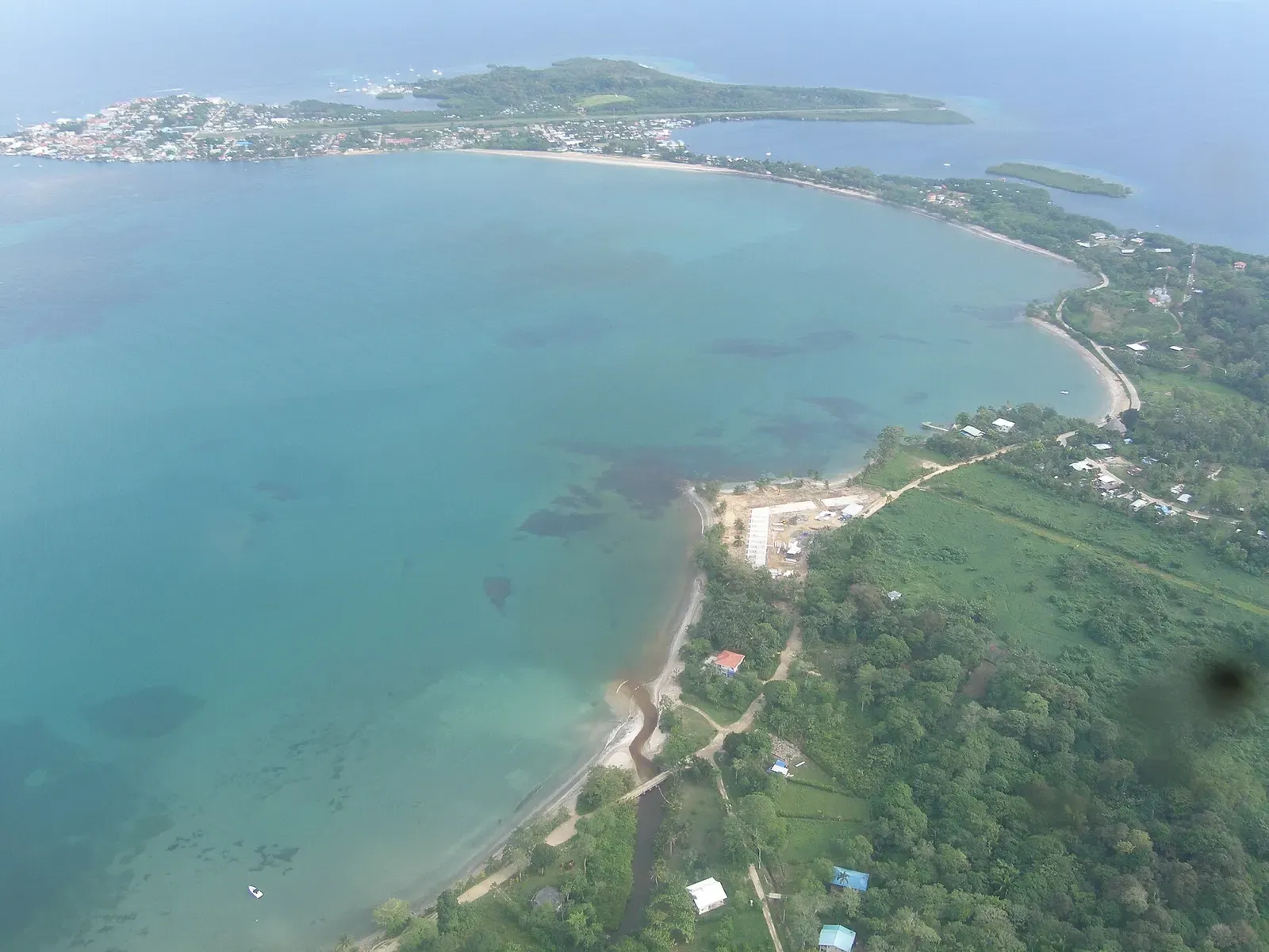
Tidal pinnacle off Bastimentos with sand channels and schooling fish
Reef sharks circling outcrops that peak at 23 m and fall away below
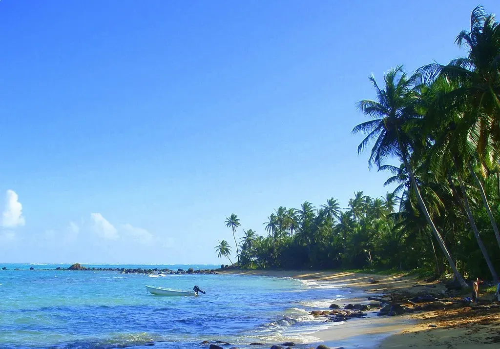


Caribbean reef sharks around a lone rock breaking the surface far offshore