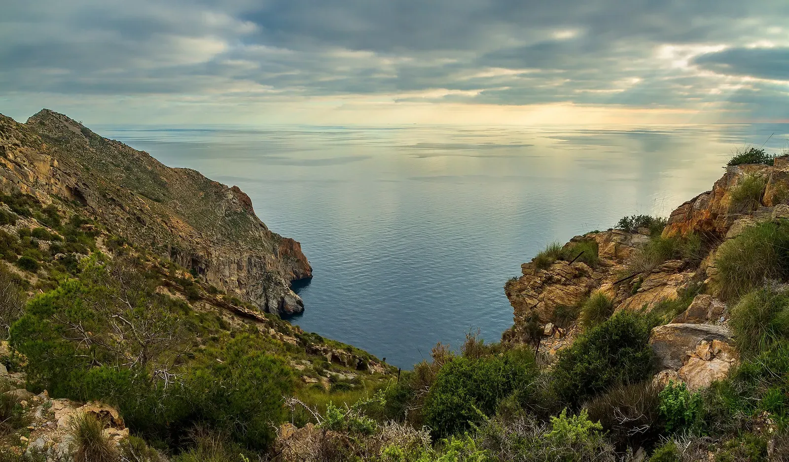
Mediterranean · Spain
Cabo Tiñoso (La Azohía, Isla Plana & Puerto de Mazarrón)
A zoned 2016 marine reserve, a sunk minesweeper and a 3 km hypogenic cave
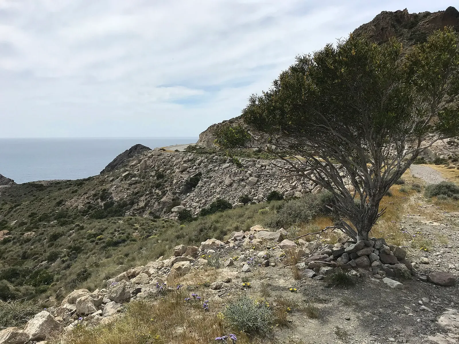
Photo: Ximonic (Simo Räsänen) · CC BY-SA 4.0
Three Murcia towns — La Azohía, Isla Plana and Puerto de Mazarrón — ring the Cabo Tiñoso marine reserve, declared over the Región de Murcia's interior waters in 2016 and completed offshore by a state order in 2017, 1,174 hectares in all. Four centres work the coast, from 4–15 m coves used for training to the sunk minesweeper Nalón at 28–36 m and the El Arco rock arch at about 20 m. Behind the shoreline, Cueva del Agua runs more than 3 km as a technical cave.
About diving in Cabo Tiñoso (La Azohía, Isla Plana & Puerto de Mazarrón)
Diving is boat work from three adjoining towns. Rivemar, open since 1984, and The Blue Jump run out of La Azohía, the latter listing 13 dive points inside the reserve; Divergente keeps a rigid 8 m catamaran and a semi-rigid at Isla Plana; and Buceo Hispania, active since 1993, runs from Puerto de Mazarrón to more than 20 points across Mazarrón Bay and the reserve. The 2016 regional decree splits the reserve's interior waters into cells, barring professional fishing in one and recreational fishing in three; the 2017 state order makes the outer band, out to the 50 m isobath, an integral reserve open only to authorised science. Each centre adds a reserve tax per dive on top of the boat.
The ground is rock over posidonia. El Corralón is a rocky wall with a bottom full of Posidonia oceanica, and the reserve's own habitat description adds coralligenous communities and photophilic algae. Bajo de Emilio is the bajo Buceo Hispania names among its regular grounds, and the minesweeper Nalón was sunk deliberately as an artificial reef, lying on mud from 28 m at the bow to 36 m at the stern. El Arco is a rock arch big enough for boats to pass through, dived at about 20 m. Bajo de las Palomas, a pinnacle rising from a sandy 42 m bottom to a 10 m top, sits some 11 km east of La Azohía on the Bahía de Cartagena stretch rather than inside the reserve itself.
It suits divers who want variety on a short boat ride. Coves carry the easy days and the courses, Cala Cerrada at 10–30 m sheltered from wind and swell, Isla de Paco and Cala del Faro at 4–15 m, while the deeper bajos and the Dragaminas take the second dive of the day. Cueva del Agua is not part of that: more than 3 km of hypogenic passage wrapped in a silt that lifts at a touch, held at a constant 29 °C against a 21 °C surface layer, and for trained cave divers only. Anyone after big dusky groupers on deep, current-swept seamounts should dive Cabo de Palos instead.
When to dive Cabo Tiñoso (La Azohía, Isla Plana & Puerto de Mazarrón)
| Jan | Feb | Mar | Apr | May | Jun | Jul | Aug | Sep | Oct | Nov | Dec |
|---|---|---|---|---|---|---|---|---|---|---|---|
| Fair | Fair | Fair | Good | Good | Prime | Prime | Prime | Prime | Good | Fair | Fair |
June to September is the comfortable window, and visibility can reach 30 m against a 15 m average; centres run trips year-round, with winter water near 15 °C.
Dive types & marine life
Buceo Hispania's list for these grounds runs to barracuda, ocean sunfish, dentex, pollack, grouper, moray, conger, octopus and nudibranchs, offered as what the coast holds rather than as dated sightings; the sunfish rests on that list alone and is left untagged. The state order's preamble records loggerheads and bottlenose dolphins on the wider Mazarrón escarpment, not at these dive sites.
- Reef
- Wall
- Seamount
- Wreck
- Cave & cavern
- Groupers
- Barracuda
- Octopus & cuttlefish
- Nudibranchs
Notable dive sites in Cabo Tiñoso (La Azohía, Isla Plana & Puerto de Mazarrón)
Seamount
A ridge crest at 14 m with a statue on the seabed below
Seamount
A shoal topping out at 10 m with a 30 m drop and hard backlight
Reef
Two dives in one cove: 20 m to the west, canyons to the east
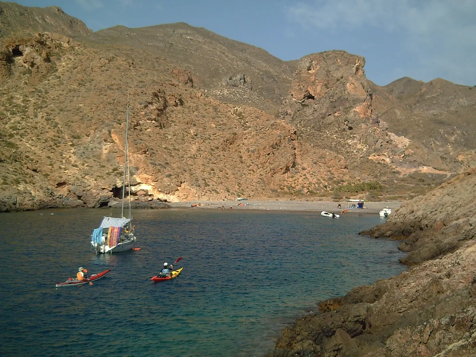
A cove sheltered from wind and swell, 10 m to 30 m
Groupers hold in the frames of a scuttled minesweeper
Seamount
A submerged rock arch at 5–8 m with a shoal running south
Reef
Cobbles and posidonia at 6 m, a rocky wall out to 20 m
A reddish cut in the Cabo Tiñoso cliffs, down to 30 m
Reef
An island wall from 2 m to 18 m over posidonia meadow
Wall
A vertical rock wall under an old cliff-top mine
Towers of rock and posidonia meadow from 6 m to 28 m
Cueva del Agua
Hypogenic cave, over 3 km of passage, a constant 29 °C inside against 21 °C at the surface.
Getting there
La Azohía and Isla Plana are about 26 km from Cartagena, half an hour by road, with Puerto de Mazarrón the third base further west; Región de Murcia International (RMU) is the nearest airport, roughly 45 minutes away. The four centres sit in the three towns, and everything runs as boat trips into the reserve.
Photos from Cabo Tiñoso (La Azohía, Isla Plana & Puerto de Mazarrón)
Nanosanchez · Public domain
Ximonic (Simo Räsänen) · CC BY-SA 4.0
Ximonic (Simo Räsänen) · CC BY-SA 4.0
pictures Jettcom · CC BY 3.0
Photo credits
- Cliffs at Cabo Tiñoso drop to a calm Mediterranean Sea under a hazy evening sky. by Ximonic (Simo Räsänen), CC BY-SA 4.0, via Wikimedia Commons
- Tube worms, a false red coral and a cardinalfish on a rocky wall underwater at El Portús. by Nanosanchez, Public domain, via Wikimedia Commons
- Aerial view of a rocky cove and headland where mountains meet the Mediterranean near Cartagena. by Ximonic (Simo Räsänen), CC BY-SA 4.0, via Wikimedia Commons
- Old stone ramparts frame a view south over the Mediterranean at sunrise near Cabo Tiñoso. by Ximonic (Simo Räsänen), CC BY-SA 4.0, via Wikimedia Commons
- Boats moored in Puerto de Mazarrón harbour with the town and hills behind. by pictures Jettcom, CC BY 3.0, via Wikimedia Commons
Similar destinations

Dusky groupers the size of car doors patrol two submerged mountains
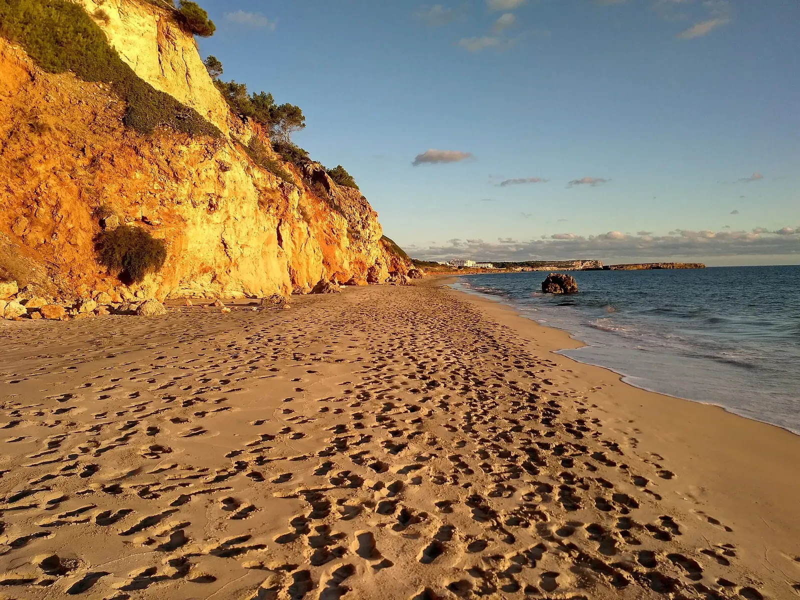
Long limestone caves and the 110 m Malakoff wreck off one Balearic island
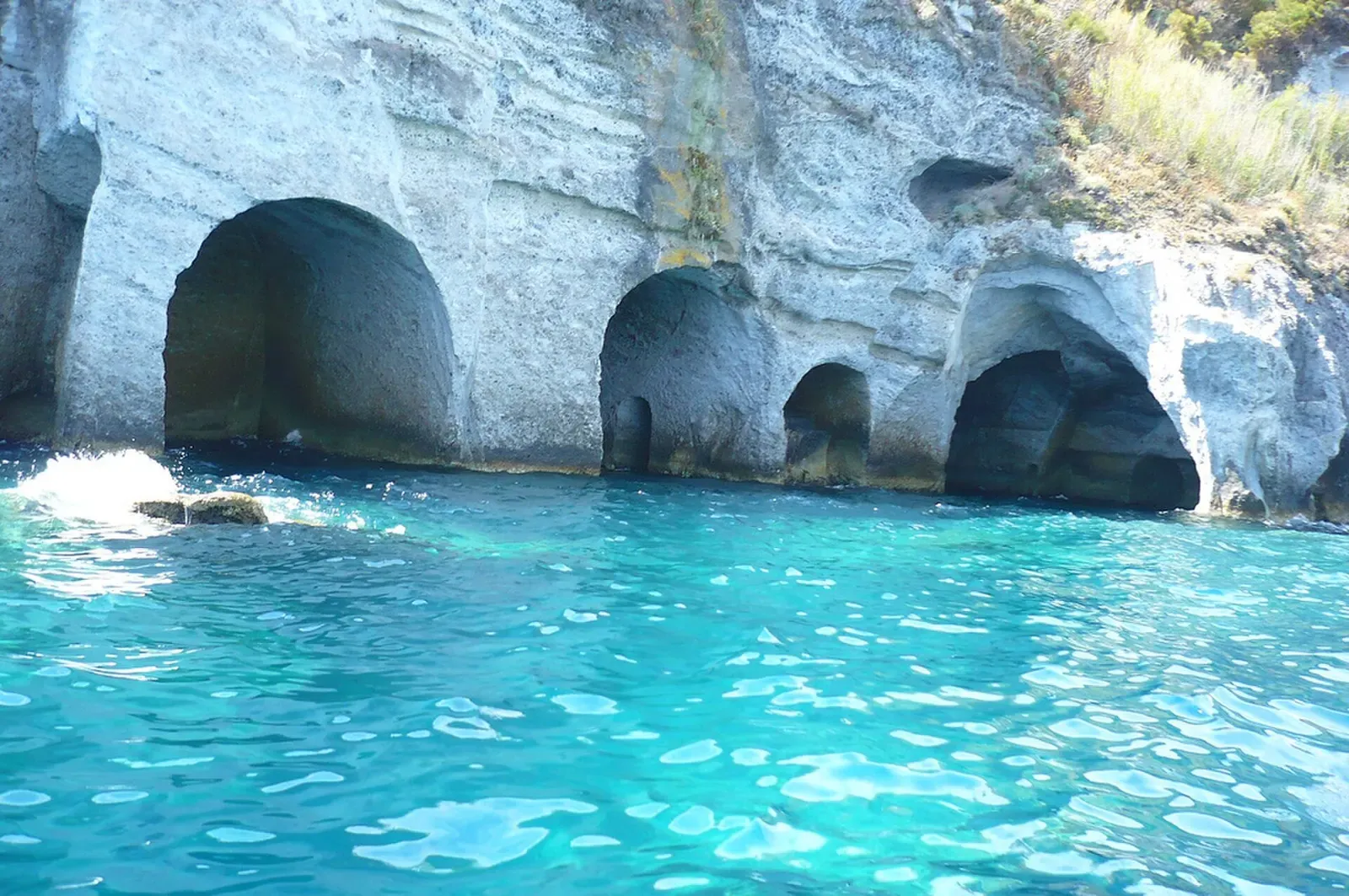
A WWII landing ship in two sections at 19 and 30 m off a cave-cut volcanic island


Giant groupers in volcanic caves along Andalusia's largest coastal protected area