Ilhabela · Brazil · Wreck
Naufrágio Velásquez
Boilers, engines and the whole stern of a 1908 liner, 70 m off the beach
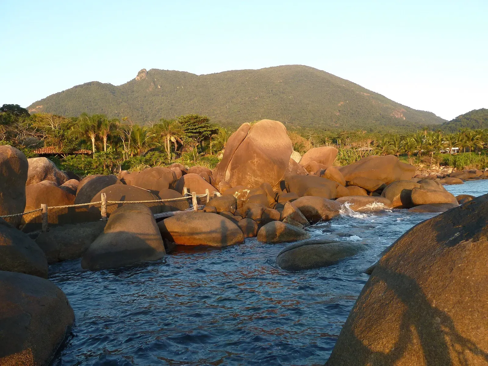
Photo: Boris Karpuk · CC BY-SA 3.0
The Velasquez was an English steam liner of the Lamport and Holt line, built in 1906, that struck rocks near Ponta da Sela in a high sea and thick fog on 16 October 1908, after leaving Santos. Broken up, with her boilers, engines and stern still on the bottom, she lies south-west of the Ponta da Sela lighthouse, 70 m from the beach, at 7 to 25 m.
Also known as Velasquez.
Where it is and how deep
23.8972° S, 45.4617° WPublished position for this site.
The dive
The Velasquez lies broken up south-west of the Ponta da Sela lighthouse, 70 m from the beach and perpendicular to the rocky shore. On the shore itself, in line with the wreck and close to the waterline, one of her Hawkins anchors still sits in the hawse pipe beside a length of chain and a mooring bitt. At 5 m against the rocks lie pieces of iron with no recognisable shape, and swimming towards deeper water the first boiler appears, set ahead of the others and across the line of the hull.
At 8 m, in the middle of the wreckage, stand three large boilers, the third set slightly to port. Behind the two main boilers are the engines, with crankshafts, pistons, cylinder liners and bearings in view. A large section of hull lies to port. Following the shaft and its bearings towards deeper water leads to the stern, still whole, where the rudder rests at 45 degrees to the bottom above the propeller hub, which has had three of its four blades removed.
Being so old, the wreck offers no penetration, and the dive stays among the remains, now surrounded by a great variety of colourful fish and other marine life. Visibility is 4 to 8 m. Many divers visit the Velasquez for its easy access, and the boat trip pairs one dive on her with a second on the Therezina, another of the three Ilhabela wrecks that can be dived.
The wreck
- Vessel
- Velasquez
- Type
- Steel-hulled steam liner
- Built
- 1906
- Sunk
- 1908
- Cause
- Struck rocks near Ponta da Sela in a high sea and thick fog
- Lies
- South-west of the Ponta da Sela lighthouse, 70 m from the beach, at 7 to 25 m
The Velasquez was an English transatlantic liner with a steel hull and steam propulsion, completed by Sir Raylton Dixon in 1906 for Lamport and Holt. Sailing from Buenos Aires, she called at Santos to take on passengers and coffee bound for New York, and on 16 October 1908 she was heading north with 137 passengers and a cargo of coffee and mail. After leaving Santos she ran into a high sea and thick fog and struck rocks off Ponta da Sela. Almost all the crew and passengers were saved in the boats, and attempts to salvage her failed.
Marine life and season
The sources we used don't single out particular species here.
| Jan | Feb | Mar | Apr | May | Jun | Jul | Aug | Sep | Oct | Nov | Dec |
|---|---|---|---|---|---|---|---|---|---|---|---|
| Good | Good | Good | Fair | Fair | Fair | Fair | Fair | Fair | Fair | Fair | Fair |
Season follows Ilhabela: Diving runs all year. The water is warmest, up to 27 °C, from mid-January until autumn, and early summer can bring cold thermoclines.
Know before you go
- The wreck is broken up and too old for penetration; divers stay outside the remains.
Dive videos
Mergulho em Naufrágio - Velasquez · Arthur Borges on YouTube
Questions divers ask
How deep is the Velasquez wreck at Ilhabela?+
The Velasquez lies at 7 to 25 m, south-west of the Ponta da Sela lighthouse and 70 m from the beach, with her three boilers at about 8 m.
When did the Velasquez sink?+
On 16 October 1908. After leaving Santos the liner ran into a high sea and thick fog and struck rocks off Ponta da Sela.
Sources
- Naufrágio Velasquéz + Theresina - Narwhal — Narwhal Ilhabela
- Lamport and Holt — Wikipedia
- Escola de Mergulho em Ilhabela - OceanoSub — OceanoSub
Photo credits
- Large rounded granite boulders at the sea's edge in evening light below a forested hill by Boris Karpuk, CC BY-SA 3.0, via Wikimedia Commons
More dive sites in Ilhabela
Fish-crowded boulder outcrop with rays on the sand
Boulder walls and canyons to 35 m inside a no-fishing zone
Reef
Offshore island day trip with visibility up to 20 m
Reef
Boulder shore riddled with holes, to 25 m
Wreck
A 1920 cargo steamer in sheltered water 50 m from shore
Reef
The turtle route, entered straight off the beach
Similar dives elsewhere

A 102 m British steamer lying between 15 and 27 m
Wreck
Cavo Artemidi
Salvador & Baía de Todos os Santos · Brazil
Brazil's largest diveable wreck, a 161 m bulk carrier lost in 1980
Wreck
Dragão
Maceió & Praia do Francês · Brazil
An upside-down 53 m dredge at 30 to 32 m, its metalwork covered in coral
Wreck
Draguinha
Maceió & Praia do Francês · Brazil
A capsized 50 m dredge at 27 to 30 m, with an old boiler among the wreckage