Lundy Island · United Kingdom · Wreck
MV Robert
The island's only intact wreck, on her side in 25 metres
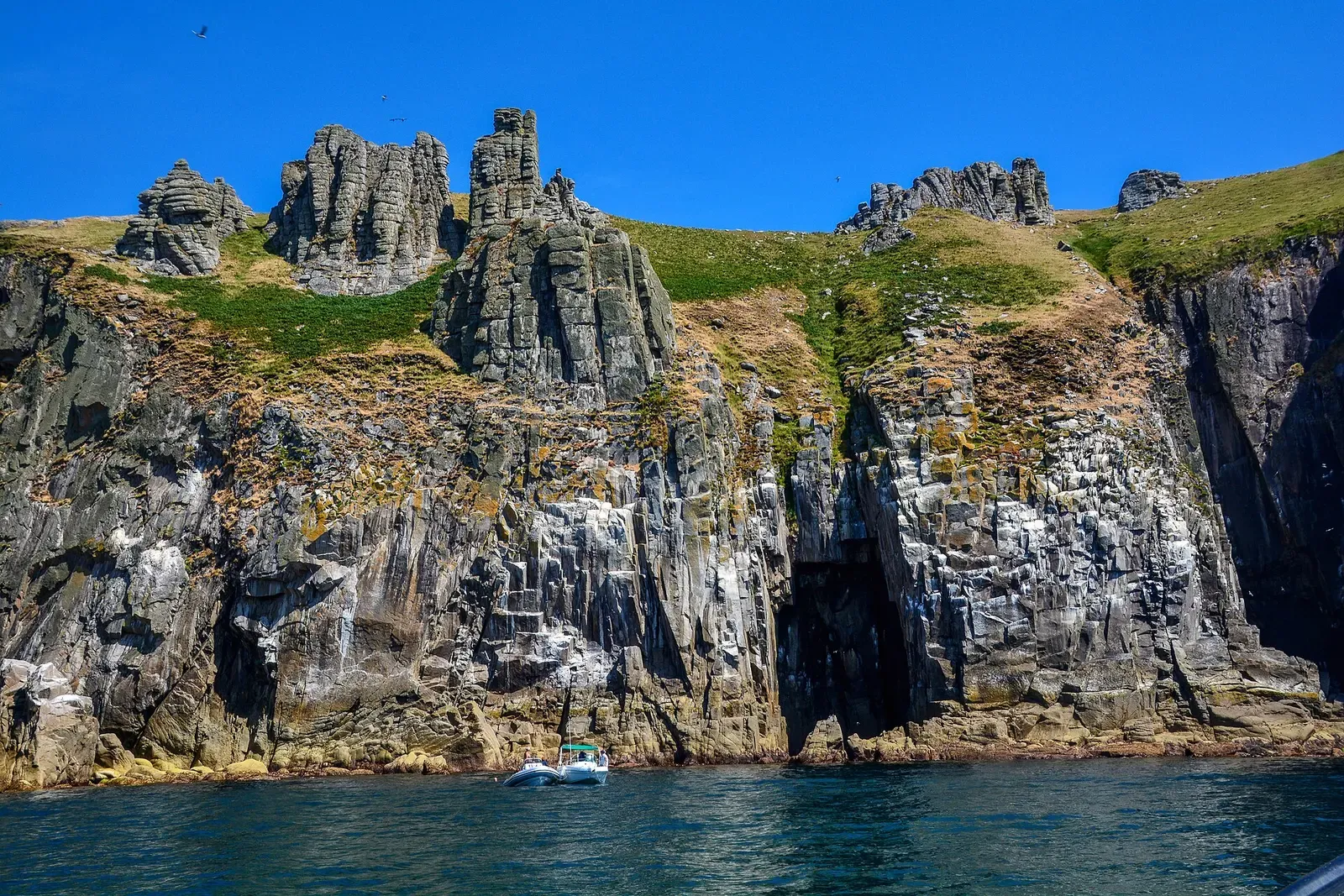
Area photo: Lewis Clarke · CC BY-SA 2.0
Lundy's only intact wreck: a 50-metre coaster that capsized off the east side of the island in 1975 and now rests on her starboard side on muddy sand, about a mile east of Gull Rock. The port side of the hull is at 18 metres and the seabed at 25, and the tidal stream running over her makes this a slack-water dive only.
Also known as The Robert.
Where it is and how deep
51.1849° N, 4.6467° WPublished position for this site.
Site maps published elsewhere
The dive
The buoy line is usually made off to the bow of the Robert, on the anchor winch, and it is the ideal way down onto the wreck. From the bow you can enter the hold, which is wide and open but dark. She lies on her starboard side, so the port side of the ship is the high point at about 18 metres while the starboard side rests on the seabed in about 25 metres of water.
The pipework around the wreck usually houses conger eels, and the outside of the hull carries a profusion of white plumose anemones along with a number of sea slugs on most dives. A small shoal of bib often hangs over the wreck and the occasional John Dory comes through. Near the stern the muddy sand holds hermit and swimming crabs, scallops and burrowing anemones. Finish on the outside of the port bow and return to the bow section, where the buoy line is tethered, for the ascent.
The wreck
- Vessel
- MV Robert
- Type
- Single-screw coaster
- Length
- 50 m (164 ft)
- Sunk
- 1975
- Cause
- Capsized off the eastern side of Lundy
- Lies
- Intact on her starboard side on muddy sand, about a mile east of Gull Rock
Marine life and season
- Macro critters
- Nudibranchs
- Reef fish swarms
| Jan | Feb | Mar | Apr | May | Jun | Jul | Aug | Sep | Oct | Nov | Dec |
|---|---|---|---|---|---|---|---|---|---|---|---|
| Off-season | Off-season | Off-season | Fair | Good | Prime | Prime | Prime | Prime | Fair | Off-season | Off-season |
Season follows Lundy Island: May–Sep is the season, and even then the Bristol Channel's huge tidal range means diving is planned around slack water.
Know before you go
- The tidal stream over the wreck can be very strong, so the Robert is dived only at slack water.
- Do not penetrate the accommodation: the entrances are narrow and the rooms are very silty.
- The buoy is not always in place, so boats relocate the wreck with an echo sounder and GPS rather than counting on a surface marker.
Dive videos
MV Robert Wreck & Lundy Island · Dorset Diving on YouTube
MV Roberts 360 degree · ilfracombe & North Devon Sub Aqua Club on YouTube
Questions divers ask
How deep is the MV Robert?+
The port side of the ship is in about 18 metres of water and the starboard side lies on the seabed in about 25. A bottom of 22 metres at low tide and 28 metres at high water is also recorded for the site.
Can you go inside the MV Robert?+
The hold is wide and open and can be entered from the bow, though it is dark. Penetrating the accommodation is strongly not recommended: the entrances are narrow and the rooms are very silty.
Sources
- Lundy MCZ | Dive Sites — Lundy Marine Conservation Zone
- MV Robert — The Landmark Trust
- MV Robert wreck dive site — Zentacle
- Wrecks and Obstructions within UK EEZ — UK Hydrographic Office, ADMIRALTY Marine Data Portal
More dive sites in Lundy Island
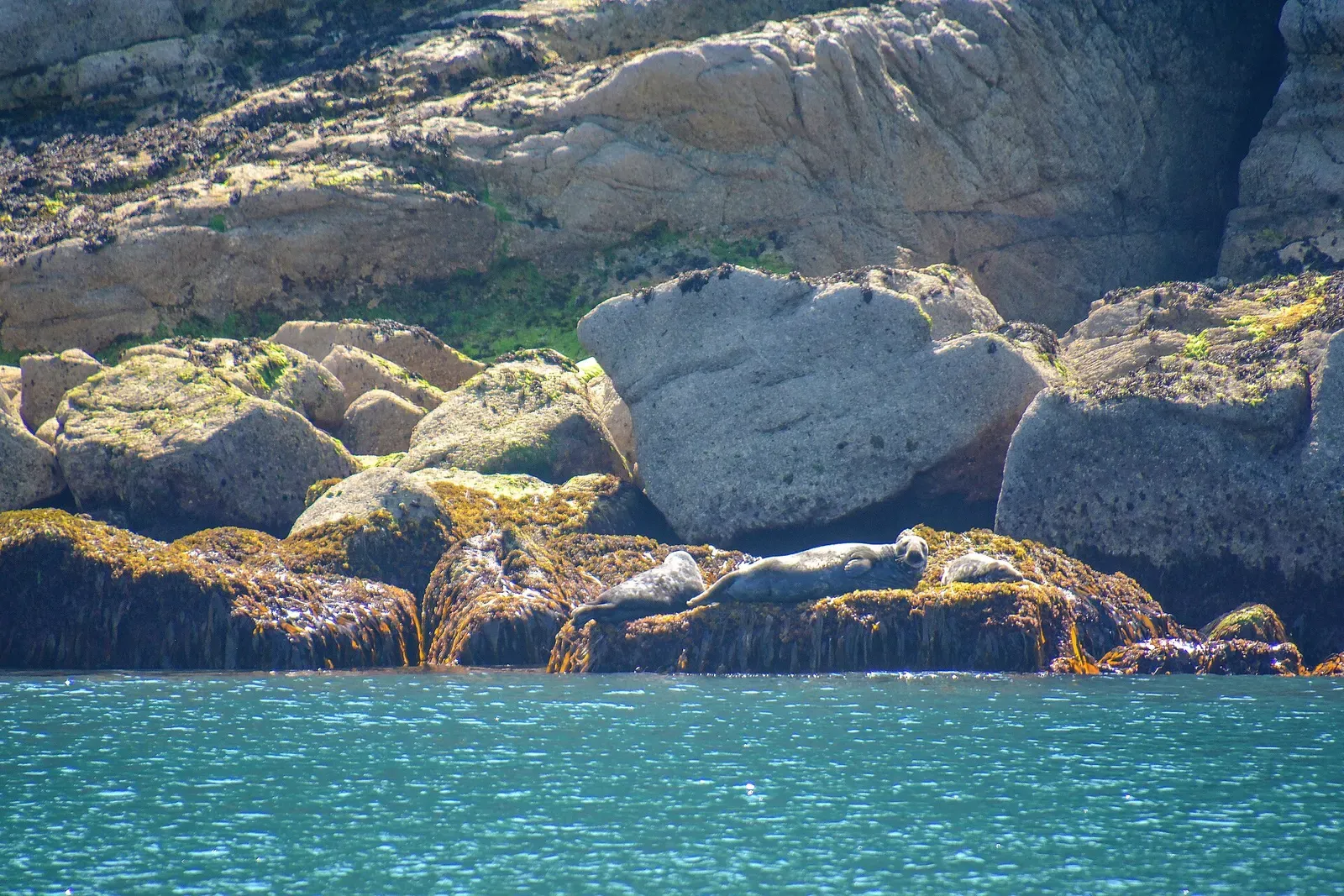
Grey seals that come to your mask, in 12 metres of water
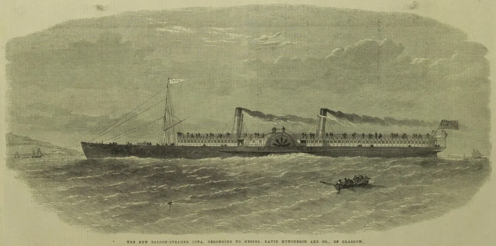
Protected 1863 paddle steamer, licence needed to dive her
Rock pinnacles walled in jewel anemones, dived on slack water
Similar dives elsewhere
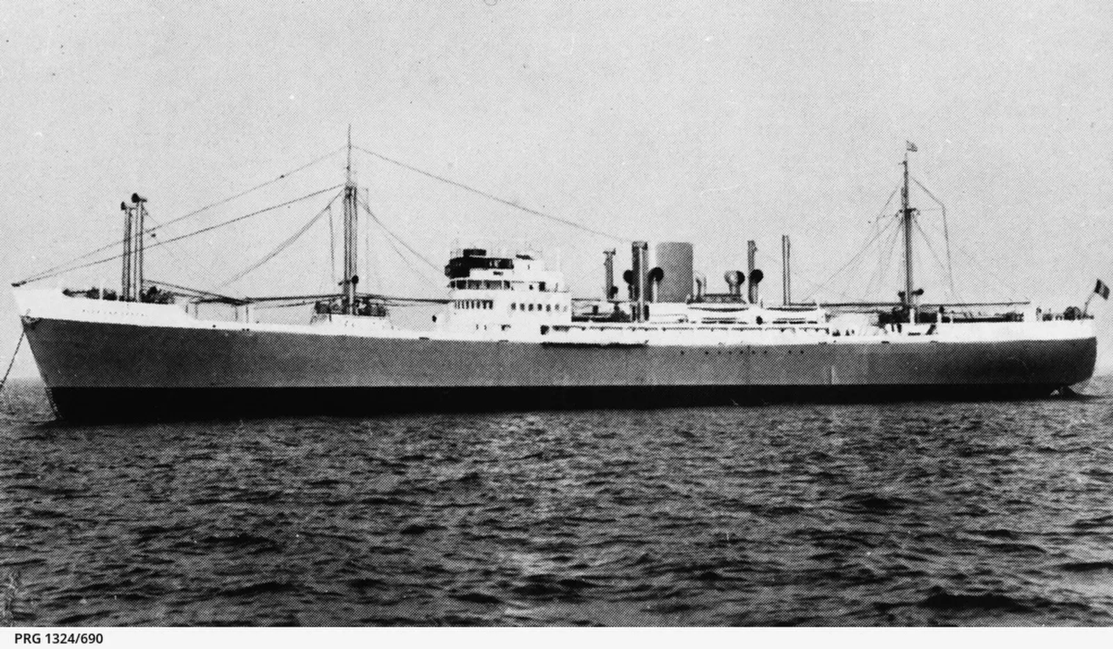
A 1939 mine casualty broken across a 30 m seabed
An upright submarine hull under a coat of plumose anemones
Boilers at 24 m on the edge of the Shambles Bank


A 1912 steamer at 30 m, propeller still standing