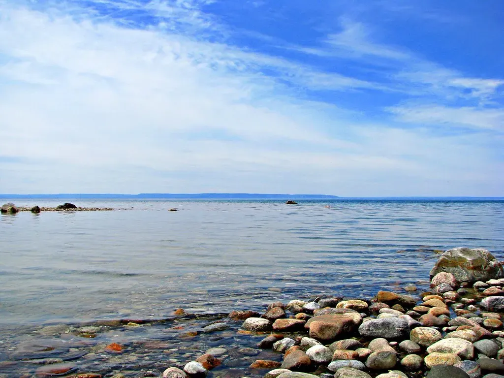
Southern Georgian Bay off Penetanguishene is shallow wreck diving in cold fresh water, centred on Christian and Hope Islands. The three big wrecks are the Michigan, a 91-metre steel barge in under 5 m off Hope Island, the Mapledawn, a steel freighter lost in 1924 and lying in 5–9 m, and the schooner Marquette at about 12 m. Most dives sit between 3 and 12 m, so the wrecks suit newly certified divers as well as photographers.
About diving in Penetanguishene & Southern Georgian Bay
The diving runs from the boat. The Georgian Explorer, a licensed commercial charter boat, leaves at 8:00 from Cedar Point Dock, with divers on the dock by 7:30 to load gear, and some trips start instead from the Penetanguishene town dock. A day gives up to three dives on two tanks. Visiting dive shops such as The Dive Academy from Oakville and Scuba 2000 charter the boat, while Neptune's Locker, a dive shop on Champlain Road in Tiny, specializes in dives on southern Georgian Bay.
Christian Island and the uninhabited Hope Island beside it carry the main wrecks, most of them a century old or more and well preserved by the cold fresh water. The Michigan, the Mapledawn and the Marquette make up the usual three-wreck day. The charter also offers the Lottie Wolf and the Wawinet, and in really bad weather the wrecks up the Musquash River, where the Chippewa lies sheltered at the river mouth in water that silts easily. For a more open-water dive, boats run to the remains of the Thomas Cranage off Hope Island, and the LuckPort is another wreck in the area.
The area suits new divers, since the main wrecks are rated for every certified diver and summer visibility reaches about six metres in water that warms to 21 °C in August. The deepest of the main wrecks, the Marquette, reaches 16 m (54 ft). The Chippewa, the bad-weather fallback up the Musquash River, is the exception for visibility: about 3 m (10 ft), with silt that is easily stirred.
Best time to dive Penetanguishene & Southern Georgian Bay
| Jan | Feb | Mar | Apr | May | Jun | Jul | Aug | Sep | Oct | Nov | Dec |
|---|---|---|---|---|---|---|---|---|---|---|---|
| Off-season | Off-season | Off-season | Off-season | Off-season | Fair | Good | Good | Good | Good | Off-season | Off-season |
Dated charters run from July to October and the water is warmest in August; the bay is near freezing in late winter.
Dive types & marine life
This is wreck diving, not wildlife diving. The Michigan is loaded with curious, friendly bass that crowd its steel in the shallows.
- Wreck
- Freshwater
- Freshwater fish
Best dive sites in Penetanguishene & Southern Georgian Bay
- 1
Michigan
91-metre (300 ft) steel barge in under 5 m off Hope Island's NW corner, full of bass.
- 2
Mapledawn
Steel freighter lost on 30 November 1924 with a cargo of barley, in 5–9 m (15–30 ft).
- 3
Marquette
Schooner about 42 m (139 ft) long off Hope Island's NE corner, from 9 to 16 m.
- 4
Chippewa
Wreck at the mouth of the Musquash River, sheltered from wind; visibility about 3 m (10 ft) and silt that stirs easily.
- 5
Thomas Cranage
Remains off Hope Island, for a more open-water dive.
- 6
Saucy Jim
Wreck east of Christian Island that sank in 1910.
Site guides
How to get to Penetanguishene & Southern Georgian Bay
Toronto Pearson is the closest airport with scheduled flights. From Toronto, take Highway 400 north to Barrie, then Highway 93 (exit 121) for about 45 km to Penetanguishene. Charters leave from the Penetanguishene town dock and from Cedar Point Dock.
Questions divers ask
What certification do the Penetanguishene wrecks need?+
Open Water covers the main wrecks, most of them between 3 and 12 m (10–40 ft). The deepest of the main wrecks, the Marquette, reaches 16 m (54 ft).
When can the Penetanguishene wrecks be dived?+
Dated charters run from July to October, and the water is warmest in August at 21 °C. The bay is near freezing in late winter.
Is there marine life at Penetanguishene?+
This is wreck diving, not wildlife diving, though curious, friendly bass crowd the steel of the Michigan in the shallows.
What happens to Penetanguishene dive trips in bad weather?+
In really bad weather the charter goes to the wrecks up the Musquash River, where the Chippewa lies sheltered at the river mouth. Visibility there is about 3 m (10 ft) in water that silts easily.
Sources
- Guide to scuba diving in Ontario — Destination Ontario
- Georgian Explorer — The Dive Academy
- Diving Penetanguishene, Ontario. — Diver Trek
- Georgian Explorer 2021 - Oct — CanSAC
- Local dive sites — Dive Source
- Christian Island (Ontario) — Wikipedia
- Penetanguishene — Wikivoyage
- Simcoe County — Wikivoyage
- Wasaga Beach Water Temperature — Sea Temperatures
Photo credits
Embed
Run a dive centre, club or blog? Embed this map of 3 dive sites near Penetanguishene on your own page.
Similar destinations
North America
Alger Underwater Preserve & Munising
United States
Great Lakes shipwrecks within recreational limits off Pictured Rocks

Nineteenth-century wrecks dived as drifts in a hard freshwater current

Cave and cavern diving in constant-temperature springs
Intact Great Lakes wrecks in two lakes, either side of the Mackinac Bridge