Dahlak Archipelago · Eritrea · Reef
Madote
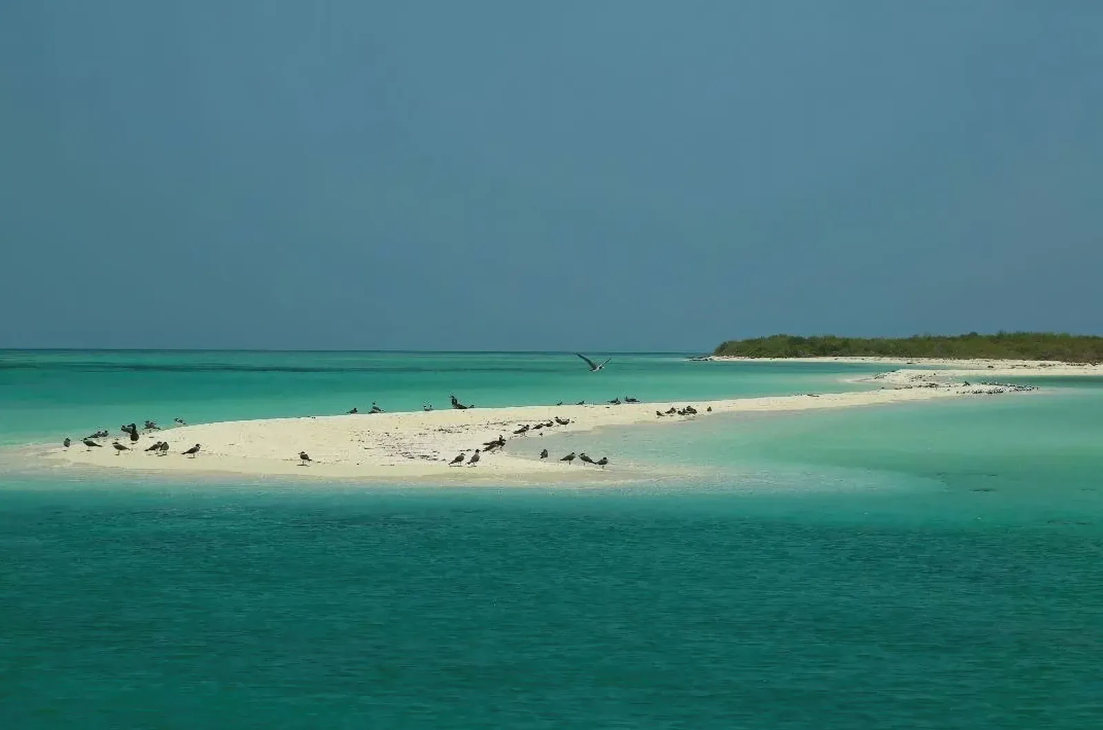
A low island dived on whatever the crew can reach that day
Photo: Solomon Debre · CC BY-SA 2.0
A small island toward the southwest of the Dahlak Archipelago, reached only as a stop on the rare liveaboard itineraries that get into Eritrean waters. No reliable source publishes a depth, a current or a route for a named dive site here, so what a boat dives is the archipelago's standard shallow ground, chosen by the crew on the day rather than from any site description.
Where it is and how deep
15.5826° N, 39.7638° EPublished position for this site.
The dive
There is no published dive plan for Madote. The island sits on the same broad, shallow shelf as the rest of the archipelago, which means fringing reef around the islet and coral heads scattered on sand and seagrass rather than wall or drop-off. The crew picks the drop point on the day, reading wind and tide, and the dive is a slow circuit of whatever reef the tender can reach from the anchorage.
Nothing site-specific is published about the conditions here either, so anything you are told on the boat is local knowledge rather than a documented profile. Plan for close-focus work over sweeping reefscapes, keep the profile conservative given how far the archipelago is from any help, and treat the stop as provisional until the boat is actually on it, because the itinerary bends to the weather and to the paperwork.
Marine life and season
The sources we used don't single out particular species here.
| Jan | Feb | Mar | Apr | May | Jun | Jul | Aug | Sep | Oct | Nov | Dec |
|---|---|---|---|---|---|---|---|---|---|---|---|
| Prime | Prime | Good | Fair | Off-season | Off-season | Off-season | Off-season | Off-season | Good | Prime | Prime |
Season follows Dahlak Archipelago: October-April offers bearable heat and settled seas; in summer air tops 40°C, water can pass 32°C, and no boats run.
Dive videos
Bleached and infested Reef, Madote Island- Eritrea · Meron Ghirmay on YouTube
Questions divers ask
Can you dive at Madote?+
Only from a liveaboard out of Massawa, and only if the trip's permit and the weather allow it. No reliable source describes a named dive site on the island, so the profile is whatever the crew chooses on the day on the archipelago's shallow shelf.
Sources
- Madote Map, Weather and Photos — getamap.net
- Madote Island -- NGA GEOnet Names Server — US National Geospatial-Intelligence Agency
Photo credits
- Low sandy spit of Madote Island fringed by turquoise water with resting seabirds by Solomon Debre, CC BY-SA 2.0, via Wikimedia Commons
More dive sites in Dahlak Archipelago
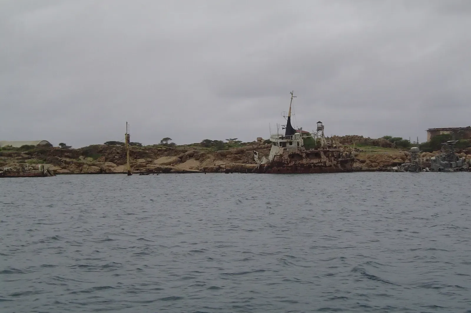
Coral-grown hulls off an island with a 10th-century necropolis
Reef
Granite underwater landscape, unlike the rest of the Red Sea
Artificial reef
Hulls left when the Soviet Navy abandoned its base in 1991
Similar dives elsewhere
Four small reefs around a lagoon, canyon terrain, mild current
A table-coral channel from the lagoon out to a pelagic drop-off
Green turtles grazing the seagrass above a reef of cleaning stations

Short caverns at 7 m under an overnight mooring