
Mikomoto & Nakagi · Japan · Pelagic & blue water · Drift · Reef
Mikomoto-shima
Schooling scalloped hammerheads in the Kuroshio
Photo: Ka23 13 · CC BY-SA 4.0
A bare rock on the boundary between Sagami Bay and Suruga Bay, about 35 minutes by boat from Shimoda Port and sitting squarely in the Kuroshio. Divers come for scalloped hammerheads, which gather from summer into autumn in schools that Japanese accounts put in the hundreds. The current that draws them is fierce, and the dive is planned around it rather than against it.
Also known as Mikomoto Island, Mikomotojima, 神子元島.
Where it is and how deep
34.5753° N, 138.9414° EPublished position for this site.
The dive
Everything runs from the boat: the island is uninhabited, 11 kilometres south of Shimoda Port and about 35 minutes across open water, and it is dived as a drift in the Kuroshio rather than as a fixed route. The rock is described as consisting only of reefs, with shoals around it and a tidal stream heavy enough that the entry point and the direction of the dive are set by how the water is running that morning.
In the water the interest is off the reef rather than on it. Scalloped hammerheads pass here from summer into autumn, and Japanese accounts record schools of several hundred in that window, so the dive is spent watching out into open water while the current carries the group along the rock. The profile bottoms out at a maximum of 35 metres; no published source gives a typical shallower range, so the working depth is the guide's call on the day.
Other traffic crosses the same current. Tuna and greater amberjack run through as game fish, turtles are among the common sightings, and humpback, sperm and beaked whales and dolphins pass through the waters nearby. The dive ends wherever the current has taken you, with the boat following the group, so surfacing well away from the entry point is normal — which is why a delayed SMB and a boat that can see you matter more here than on a sheltered reef.
Background
The rock carries Mikomotoshima Lighthouse, built in 1871 by the British engineer Richard Henry Brunton under the terms of the Anglo-Japanese treaty of 1858. It is the oldest lighthouse still in use in Japan, and it is there because the island marks an important and difficult navigational point where shoals and reefs sit in a heavy tidal stream — the same water that makes the diving what it is.
Marine life and season
- Hammerheads
- Tuna
- Trevally & jacks
- Sea turtles
- Dolphins
- Whales
| Jan | Feb | Mar | Apr | May | Jun | Jul | Aug | Sep | Oct | Nov | Dec |
|---|---|---|---|---|---|---|---|---|---|---|---|
| Off-season | Off-season | Off-season | Fair | Good | Good | Prime | Prime | Prime | Prime | Good | Off-season |
Season follows Mikomoto & Nakagi: The island's operator recommends June–October for hammerheads, when the sea is most settled; winter northerlies stop the boats, and swell cancels trips in any month.
Know before you go
- The Kuroshio runs straight through the site and the island is described as very tidal with fierce currents — the dive is a drift, and swimming against the flow is not an option.
- Shoals and reefs surround the island and it is an important and difficult navigational point for shipping; surface with a delayed SMB where the boat can see you.
Dive videos
Mikomoto Island, awesome diving site in Japan · MIKOMOTOHAMMERS on YouTube
Questions divers ask
How deep is the dive at Mikomoto-shima?+
The maximum depth on the site is 35 metres. No source publishes a typical shallower profile, so how deep the dive actually goes is set by the guide and by where the sharks are on the day.
When can you see hammerheads at Mikomoto?+
Scalloped hammerheads gather from summer into autumn, and Japanese accounts describe schools of several hundred in that window.
How do you get to Mikomoto-shima?+
By boat only — about 35 minutes from Shimoda Port, 11 kilometres south of the town. The island is uninhabited, so there is no shore access and nothing on it but the lighthouse.
Sources
- Mikomoto Island dive site — PADI
- Mikomotoshima Lighthouse — Wikipedia
- 神子元島 — Wikipedia (Japanese)
Photo credits
- Mikomoto-shima islet and its lighthouse seen from the sea south of the Izu Peninsula by Ka23 13, CC BY-SA 4.0, via Wikimedia Commons
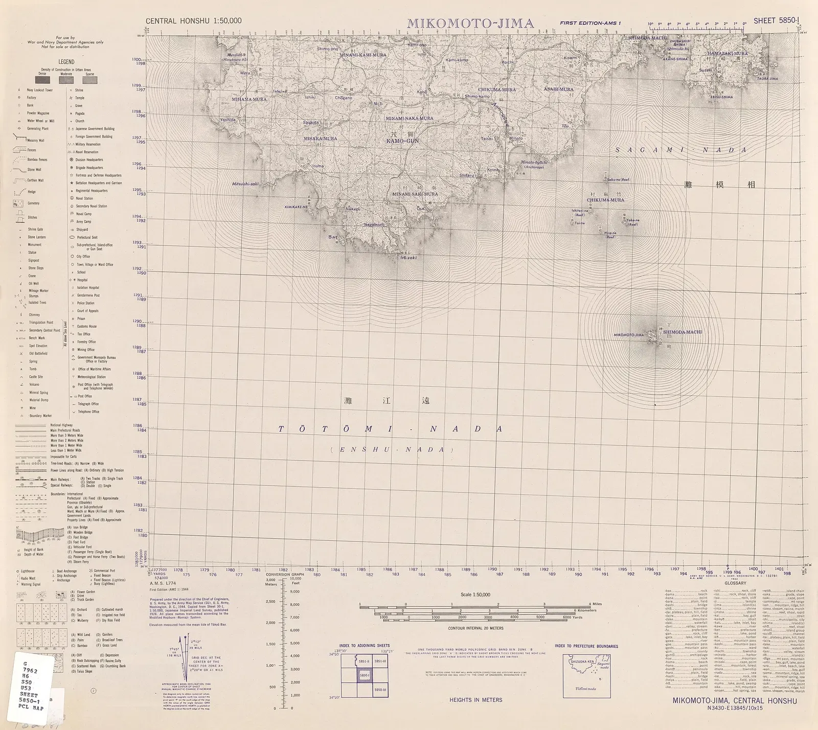
- 1944 US Army 1:50,000 topographic map showing Mikomoto-jima off the southern Izu Peninsula by United States Army Map Service, Public domain, via Wikimedia Commons
In The Logbook
- When is slack water? Tides for diversOcean science · 7 min read
- When and where to dive with hammerheadsBig animals · 16 min read
More dive sites in Mikomoto & Nakagi
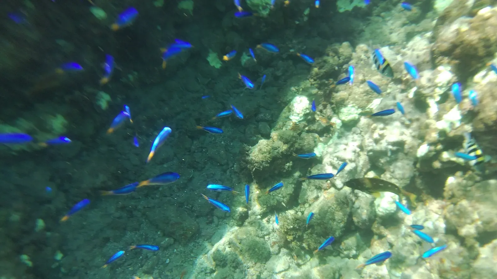
The outer drop-off holds the coral, and it is the advanced end
Similar dives elsewhere

Giant manta rays over an offshore bank, 16 m at its deepest

Grey reef sharks at the mouth, then a drift into the lagoon
Reef
Umanose
Katsuura & Namegawa · Japan
Amberjack schools over a winter-only fishing ground


Whale sharks feeding on snapper spawn between March and June