
Sangihe · Indonesia · Wall · Seamount
Pintu Kota Shipwreck
Seamount wall from 24 to 40 m with a wreck and twin anchors
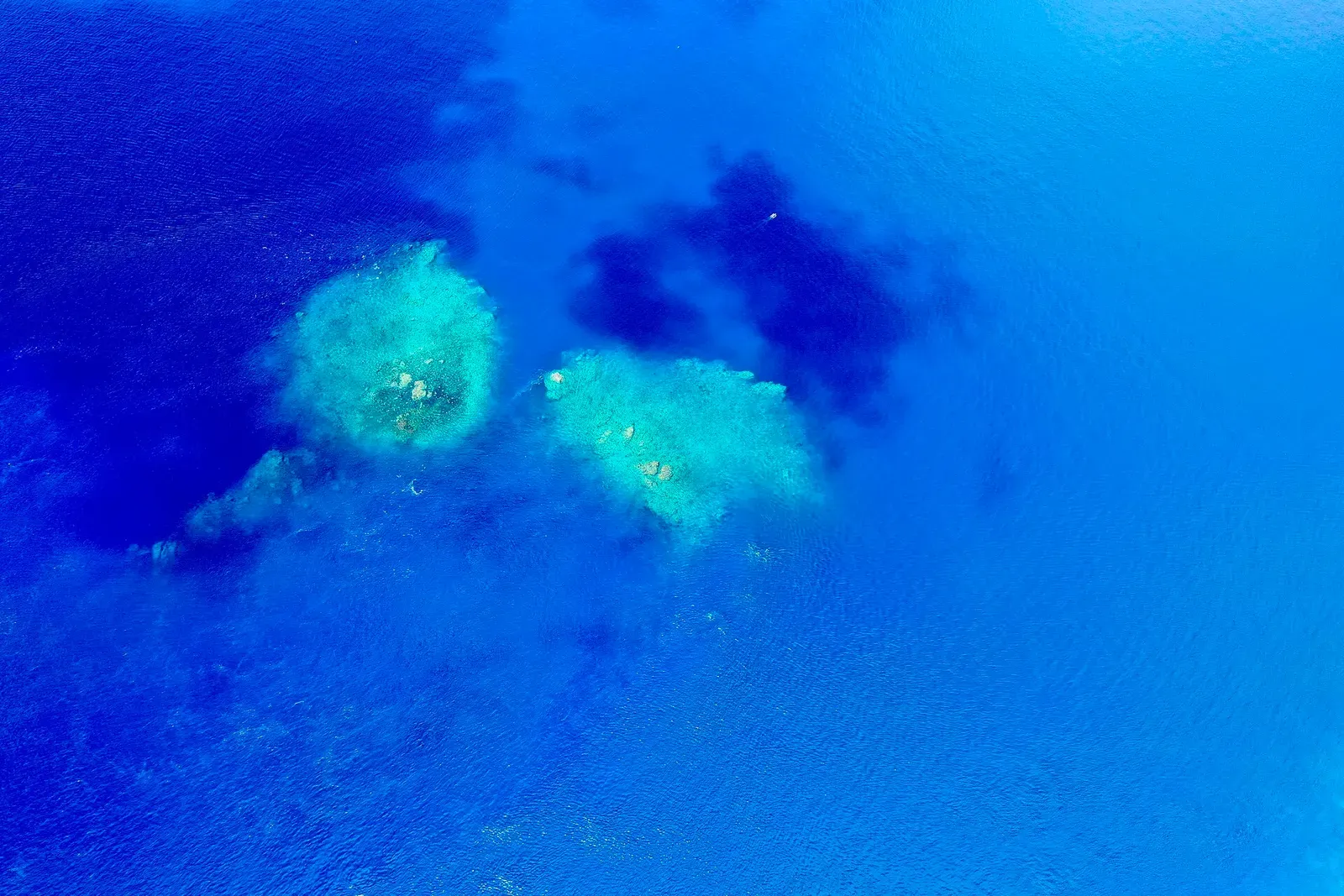
Area photo: Neverjudge · CC BY-SA 4.0
Pintu Kota is dived off the cape at the edge of Tahuna, Sangihe's main town, on the vertical face of a seamount running from twenty-four to forty metres. On the same dive there is a wreck and a pair of ship's anchors on the bottom. The current here is described as very strong and the site as open only to experienced divers.
Also known as The Ship-Wreck, Kapal Karam.
Where it is and how deep
3.6119° N, 125.5008° EApproximate position — the dashed circle shows where the site lies; your operator's briefing has the mooring.
The dive
The documented depth band starts at twenty-four metres, so this is a dive that begins deep and stays there. The feature is the sheer face of a seamount off the Tahuna cape, and the pass runs along it with the wall on one side and open water on the other, the current pushing hard enough that the whole plan is built around going one way and being picked up at the end.
Three things are named on the bottom: the vertical seamount face, a wreck, and a pair of ship's anchors. What is not published is anything about the wreck itself — no vessel, no type, no year — so treat it as an unidentified hull rather than a wreck dive with a story attached. Off the rock in clear blue water, jacks and trevally school past. At twenty-four to forty metres in strong current, bottom time is short and the ascent has to be planned as a drifting one, away from the wall.
Marine life and season
- Trevally & jacks
| Jan | Feb | Mar | Apr | May | Jun | Jul | Aug | Sep | Oct | Nov | Dec |
|---|---|---|---|---|---|---|---|---|---|---|---|
| Fair | Fair | Good | Prime | Prime | Prime | Prime | Prime | Good | Good | Fair | Fair |
Season follows Sangihe: Mar–Sep is the settled window for the crossing north from Manado; the north-west monsoon closes the chain from December to February.
Know before you go
- The current is described as very strong on a profile that starts at twenty-four metres, a combination that leaves no margin — carry an SMB and plan the pickup before you enter.
Questions divers ask
How deep is the Pintu Kota dive?+
The site is documented between twenty-four and forty metres, all of it on the vertical face of a seamount, which puts it beyond recreational limits for anyone without deep training.
Sources
More dive sites in Sangihe
Summit of an active volcano, 5 metres below the surface
Seamount
Vertical seamount wall dived at 25–30 m in swirling current
Coral garden
Shallow invertebrate reef in a bay boats overnight in
Coral garden
Coral garden and seagrass meadow at 10–15 m in clear water
Coral garden
Coral, Montipora and sponge garden from 2 m down to 20 m
Reef
Coral at 10–15 m with 20–25 m visibility between two islets
Coral garden
Montipora stands at 20 m off an uninhabited coral islet
Wall
Swim through submerged doorways and tunnels at about 25 m
Similar dives elsewhere
Coral outcrops one side of the village, a wall past 40 m on the other.

Limestone and white sand, a wall to 35 m, rarely any current

The far end of the Tulamben volcanic wall, to 40 metres


A northern wall from 15 to 40 m where current draws the big fish