
Sangihe · Indonesia · Wall
The Lost City
Swim through submerged doorways and tunnels at about 25 m
Area photo: Neverjudge · CC BY-SA 4.0
The Lost City is a drop-off on the north-west side of Sangihe island, in the Kendahe district, where a run of collapsed cliff falls away from fifteen to forty metres. At around twenty-five metres, on a silty bottom, divers swim through manmade passages, doorways and tunnels now grown over with black coral — the structures that give the site its name and its competing legends.
Also known as Drowned Village.
Where it is and how deep
3.6905° N, 125.4269° EApproximate position — the dashed circle shows where the site lies; your operator's briefing has the mooring.
The dive
The drop is made under the Kendahe bridge, and the documented depth band runs from fifteen metres down to forty. The upper part is the slide of the collapsed cliff — a broken slope of rock rather than a clean vertical face — dressed with sponges and sea fans, and the usual approach is to lose depth along it rather than descend straight down into the blue.
The structures sit at around twenty-five metres on a silty bottom, and they are what the dive is for: manmade passages and tunnels you can swim along, doorways still standing, all of it grown over with black coral. Silt is the constant here, so fin technique decides whether the divers behind you see anything at all. Keep to the swim-throughs that are open at both ends and stay off the floor.
Off the rock, small and large pelagics work past — sharks, barracuda, jacks and trevally, and schools of fusiliers in the mid-water. The deep end at forty metres is short by definition, so the sensible plan spends its bottom time among the structures at twenty-five, then works back up the cliff slide, finishing the ascent over the shallow end of the slope with the bridge overhead as the reference point.
Background
Three accounts circulate and they do not agree. Kompas records the local telling: the site was once a king's palace that collapsed into the sea as punishment for a disgrace the king had committed. A Swiss diving travelogue says instead that a village on the north-west coast north of Tahuna was swallowed by the sea during an earthquake in 1963. A third diving guide keeps the 1963 date but attributes the loss to a volcanic explosion, and calls the story a rumour. What divers find is the same either way: walls, doorways and passages at around twenty-five metres.
Marine life and season
- Barracuda
- Trevally & jacks
- Reef fish swarms
| Jan | Feb | Mar | Apr | May | Jun | Jul | Aug | Sep | Oct | Nov | Dec |
|---|---|---|---|---|---|---|---|---|---|---|---|
| Fair | Fair | Good | Prime | Prime | Prime | Prime | Prime | Good | Good | Fair | Fair |
Season follows Sangihe: Mar–Sep is the settled window for the crossing north from Manado; the north-west monsoon closes the chain from December to February.
Know before you go
- The structures stand on a silty bottom that clouds instantly — one careless fin kick can end the visibility for everyone behind you.
- Swim-throughs are overhead environment: only pass through openings you can see daylight at the far end of, and never at forty metres on air with no reserve.
Questions divers ask
What can you see at The Lost City in Sangihe?+
Manmade passages, tunnels and doorways at around twenty-five metres on a silty bottom, now covered in black coral, on a cliff slide that runs from fifteen to forty metres. Sharks, barracuda, jacks, trevally and fusiliers work the water off the rock.
Why is it called The Lost City?+
Accounts differ. A local legend records a king's palace that fell into the sea; two diving guides instead date the loss to 1963, one blaming an earthquake and the other a volcanic explosion. None of the three is confirmed, and the structures themselves are undated.
Sources
- 14 Wisata Bawah Laut di Kepulauan Sangihe Ini Bikin Pangling Wisatawan — Kompas Travel
- Diving in the Siau and Sangihe islands in Northern Sulawesi — starfish.ch
- Bangka & Sangihe diving guide — Underwater Asia
- OpenStreetMap: Kendahe I — OpenStreetMap
More dive sites in Sangihe
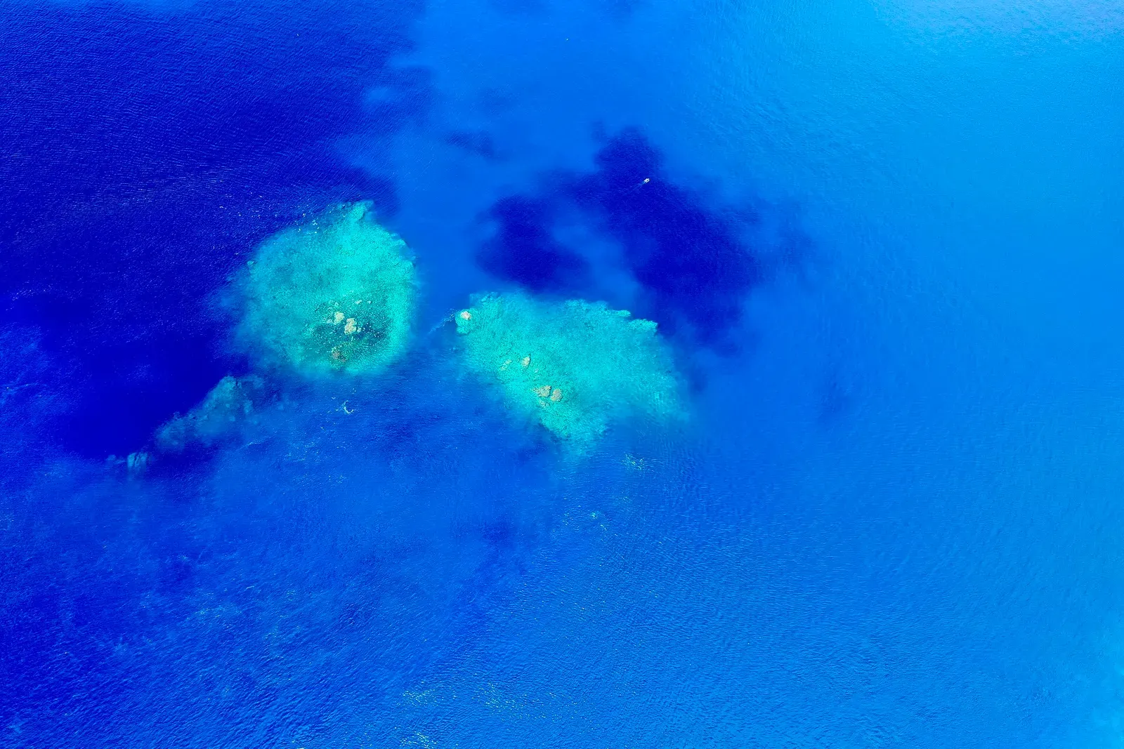
Summit of an active volcano, 5 metres below the surface
Seamount
Vertical seamount wall dived at 25–30 m in swirling current
Coral garden
Shallow invertebrate reef in a bay boats overnight in
Coral garden
Coral garden and seagrass meadow at 10–15 m in clear water
Coral garden
Coral, Montipora and sponge garden from 2 m down to 20 m
Reef
Coral at 10–15 m with 20–25 m visibility between two islets
Coral garden
Montipora stands at 20 m off an uninhabited coral islet
Seamount wall from 24 to 40 m with a wreck and twin anchors
Similar dives elsewhere

A steep face of sea fans and sponges, jacks schooling on top
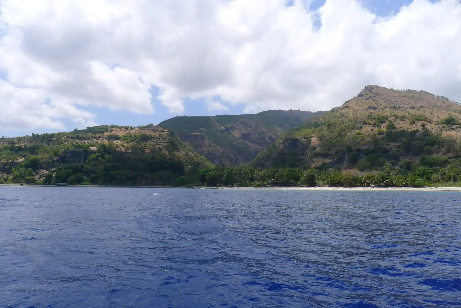
Coral outcrops one side of the village, a wall past 40 m on the other.

Limestone and white sand, a wall to 35 m, rarely any current


A long northern wall with hammerheads in the current below