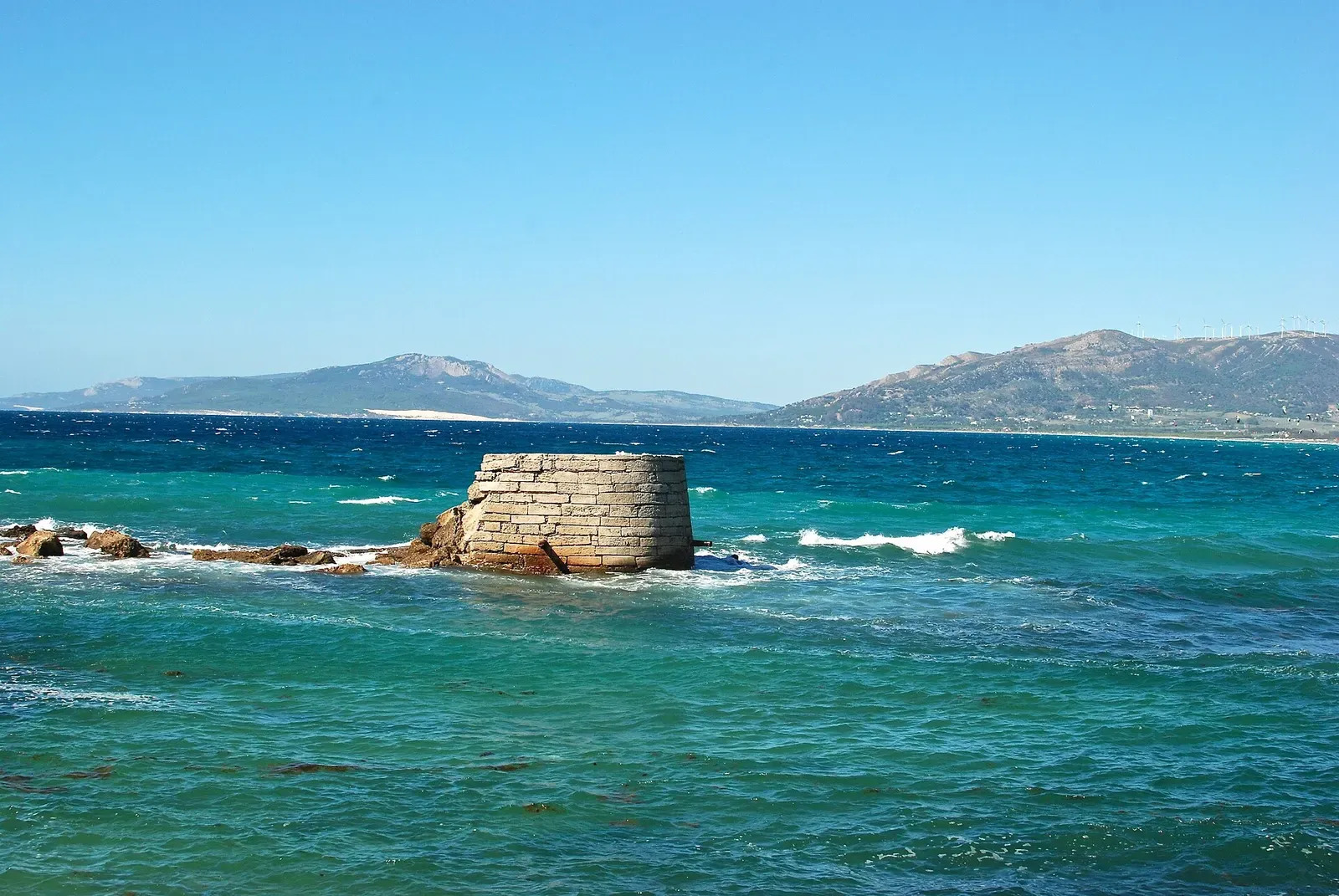
Tarifa & the Strait of Gibraltar · Spain · Wreck
Pecio San Andrés
An 1856 steamship broken across the bottom from 22 m to 30 m
Area photo: Karan Jain from Washington, DC, USA · CC BY-SA 2.0
The San Andrés is the headline wreck of the Tarifa ring, an iron-structure steamship lost in 1856 on the Mediterranean face of Isla de las Palomas. The profile runs 8–30 m, with the bulk of the wreckage from 22 m, and groupers and conger eels holding in the broken structure. León Marino rates it for advanced and expert divers.
Also known as El Miño, San Andrés.
Where it is and how deep
36.0004° N, 5.6085° WPublished position for this site.
The dive
You drop on the anchorage on the Mediterranean side of the island and follow it down; the shallow end of the site is around 8 m. Wreckage starts to appear at about 22 m, and from there it is scattered in every direction rather than held in one hull — sections of deck, parts of the engine and pieces of the bridge sit on the bottom, and the dive is a search across them rather than a swim along a ship.
Work the wreckage rather than any single feature. Groupers and conger eels are the reliable residents, listed by both the catalogue and the Tarifa centres, with morays, spider crabs and lobster in the smaller holes and sunfish recorded over the site. The deep end of the profile is 30 m, and YellowSub gives the working band as 24–30 m, so this is a short bottom time and a measured return up the anchorage line.
The wreck
- Vessel
- Miño (dived as San Andrés)
- Type
- Iron-structure steamship
- Sunk
- 1856
- Cause
- Sank in the strong Levante winds, per YellowSub Tarifa
- Lies
- Scattered on the bottom from about 22 m down to 30 m, with deck, engine and bridge sections identifiable
Divers know it as the San Andrés, but that was never the ship's name. YellowSub has the vessel as the Miño; the diving name came from the huge lead ingots that once lay among the remains with those words cast into them. YellowSub dates the sinking to 1856 and puts it down to the strong Levante winds, and Scubago dates the steamship to the mid-19th century. What is left is the bow and the bridge, the boilers and the big wheels.
Marine life and season
- Groupers
- Macro critters
- Mola mola
| Jan | Feb | Mar | Apr | May | Jun | Jul | Aug | Sep | Oct | Nov | Dec |
|---|---|---|---|---|---|---|---|---|---|---|---|
| Fair | Fair | Fair | Fair | Good | Good | Good | Prime | Prime | Prime | Fair | Fair |
Season follows Tarifa & the Strait of Gibraltar: August to October holds the warmest water; visibility does not track it, and the strait's funnelled Levante and Poniente winds can stop boats in any month.
Questions divers ask
How deep is the Pecio San Andrés?+
The profile runs 8–30 m. León Marino gives 8–30 m overall, YellowSub a 24–30 m working band, and the wreckage itself starts to appear at about 22 m.
What certification do I need for the San Andrés?+
León Marino rates it for advanced and expert divers. It is a deep dive from a boat anchorage in the Strait of Gibraltar rather than an Open Water site.
Sources
- Pecio San Andrés (Wreck) — Scubago
- San Andrés — León Marino Buceo Tarifa
- Pecio del San Andres — YellowSub Tarifa
More dive sites in Tarifa & the Strait of Gibraltar
Reef
A grotto rock at 5–14 m that shelters lobsters and rays
Wall
Sand pools at 8 m under a wall worked from 15 up to 9 m
Wreck
Three boilers still standing in an early-1900s wreck at 8–20 m
Wreck
A steamer on its side under gorgonian growth, at 18–31 m
Wreck
An upright steamer at 28 m with rudder and propeller visible
Reef
Shore-accessible rock from 0 to 18 m over a Phoenician port
Roman grinding stones and amphorae at the foot of a 40 m point
Anchors from several centuries along a 14–35 m rock run
Similar dives elsewhere

A 1901 Greek steamer, still intact at 28–30 m
A Navy corvette sunk in 2016, top at 15 m, bottom at 30 m

A Cessna wing at nearly 30 m, colonised as a miniature reef
Wreck
NRP Almeida Carvalho
Algarve · Portugal
A 64 m survey ship, 12 m in the beam, quoted at 30 to 33 m