Tarifa & the Strait of Gibraltar · Spain · Reef
Punta Marroquí de Poniente
Anchors from several centuries along a 14–35 m rock run
Area photo: Karan Jain from Washington, DC, USA · CC BY-SA 2.0
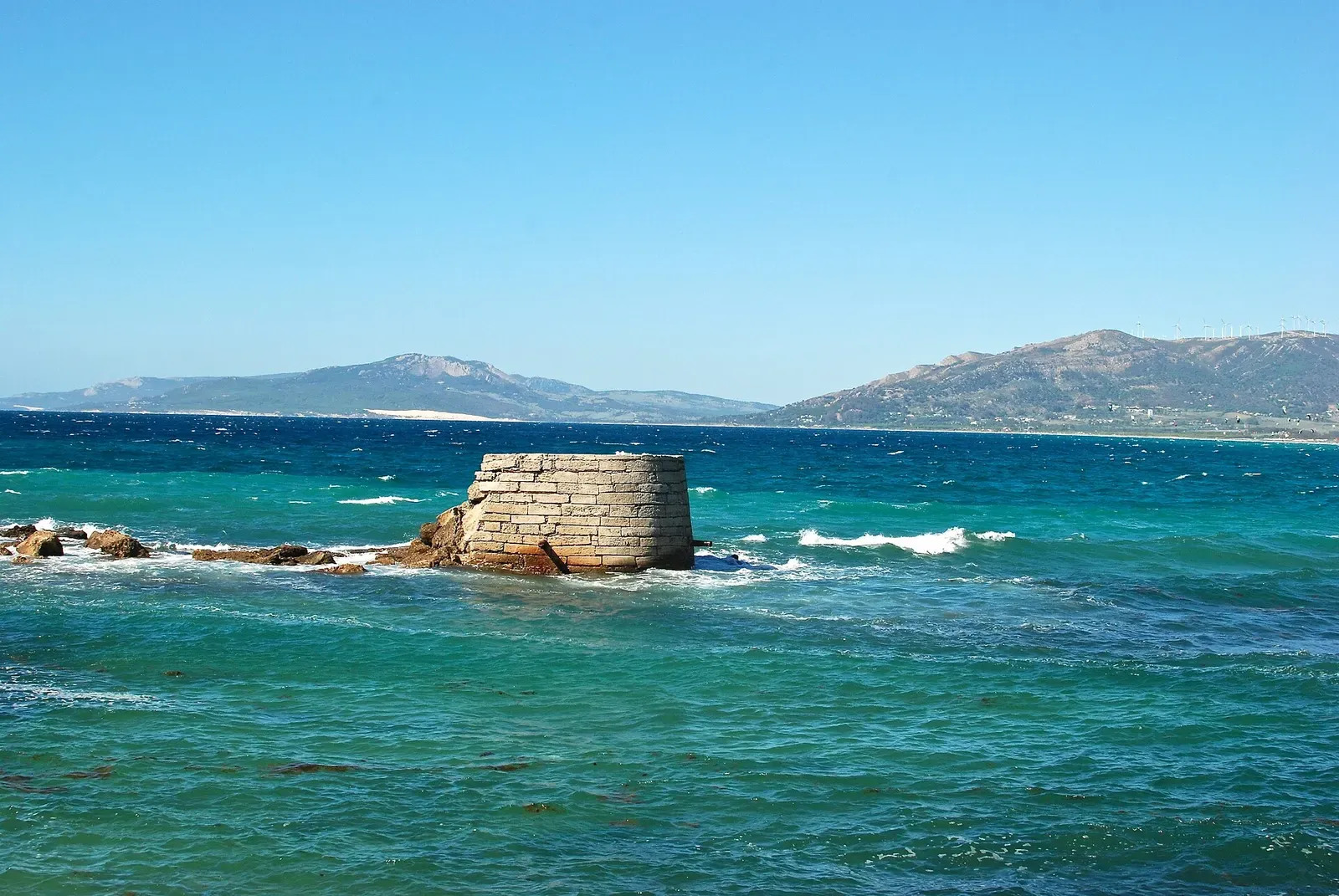
Punta Marroquí de Poniente is the Atlantic-side southern corner of Isla de las Palomas, dived from one of the Strait natural park's buoys in the south-west sector of Tarifa. The profile is 14 to 35 m along large rock formations, and the site's other name — the anchor dive — comes from anchors of several different centuries lying along the route. Groupers sit in the rock.
Also known as Inmersión de las Anclas.
Where it is and how deep
36.0010° N, 5.6129° WPublished position for this site.
The dive
Scubago places the dive in the south-west sector of Tarifa, with the descent made on a buoy and line laid by the Strait natural park; León Marino puts the foot of that line at 16 m. From there the route works down along the rock to 35 m, the deepest part of the dive, so the deep half comes early and the shallow ground is where the dive finishes rather than where it starts.
The second name is the point of the site: inmersión de las anclas, the anchor dive, for the number of anchors lying along it. León Marino counts them from different centuries and scattered the whole length of the route, so the dive becomes a run from one to the next. Groupers hide among the large rock formations, and in the shallow section at the end there is usually a big school of barracuda.
Marine life and season
- Groupers
- Barracuda
| Jan | Feb | Mar | Apr | May | Jun | Jul | Aug | Sep | Oct | Nov | Dec |
|---|---|---|---|---|---|---|---|---|---|---|---|
| Fair | Fair | Fair | Fair | Good | Good | Good | Prime | Prime | Prime | Fair | Fair |
Season follows Tarifa & the Strait of Gibraltar: August to October holds the warmest water; visibility does not track it, and the strait's funnelled Levante and Poniente winds can stop boats in any month.
Know before you go
- YellowSub warns that the currents over Punta Marroquí are often quite strong; the descent is made on the park's buoy line rather than free.
Sources
- Punta Marroquí de Poniente — Scubago
- Punta Marroquí de Poniente — León Marino Buceo Tarifa
- Punta Marroqui — YellowSub Tarifa
More dive sites in Tarifa & the Strait of Gibraltar
Reef
A grotto rock at 5–14 m that shelters lobsters and rays
Wall
Sand pools at 8 m under a wall worked from 15 up to 9 m
Wreck
Three boilers still standing in an early-1900s wreck at 8–20 m
Wreck
A steamer on its side under gorgonian growth, at 18–31 m
Wreck
An upright steamer at 28 m with rudder and propeller visible
Wreck
An 1856 steamship broken across the bottom from 22 m to 30 m
Reef
Shore-accessible rock from 0 to 18 m over a Phoenician port
Roman grinding stones and amphorae at the foot of a 40 m point
Similar dives elsewhere

A volcanic plateau at 24 m dropping to sand at 35 m
A shore-or-boat platform running from 15 m out to 40 m
Reef
Baixa do Espelho
Azores · Portugal
A volcanic arch to swim through on a reef topping out at 7 m


Amphitheatre reef in the underwater park, 10–24 m