Caribbean · Dominican Republic
Bayahibe
A 73 m freighter offshore and Taíno cave dives in the forest behind
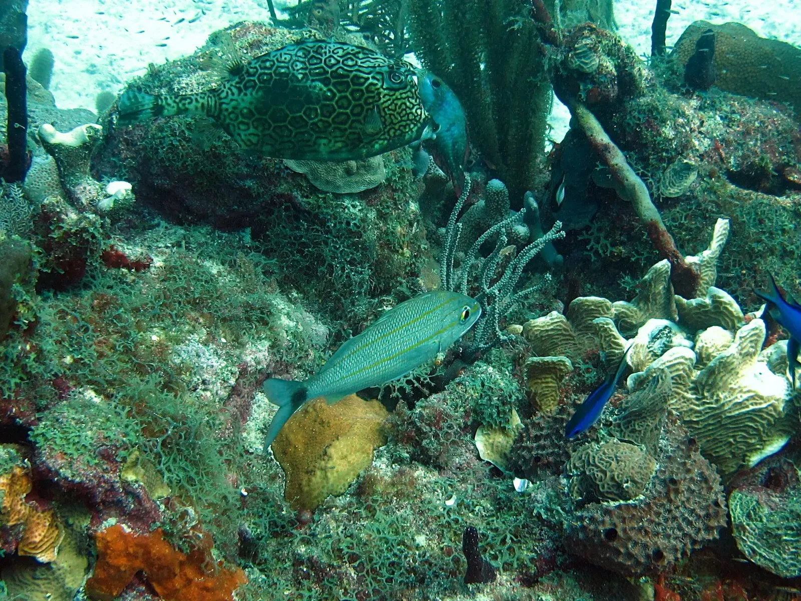
Photo: Pc.wiki4 · CC BY-SA 4.0
A small town on the southeast coast of the Dominican Republic, 16 km east of La Romana, and the embarkation point for Saona, Catalina Island and the reefs of Cotubanamá National Park. Two ships lie offshore: the St George, a 73 m freighter sunk in 1999, and the smaller Atlantic Princess at 12 m. Behind the town the limestone holds the flooded caves of the Padre Nuestro complex, which need cavern training and a local guide.
About diving in Bayahibe
The offshore diving is built around two wrecks and a wall. The St George, a 73 m cargo ship built in Scotland in 1962 and sunk in June 1999, sits about 800 m off Dominicus beach with its top at 15 m and its maximum depth at 44 m, which makes it the one dive here that is rated for Advanced Open Water. The Atlantic Princess, a former passenger ship put down as an artificial reef in 2009, rests at about 12 m. Catalina Wall, off Catalina Island, starts on shallow reef and drops off, and is dived at 12 to 18 m by divers of all levels.
Behind the town the ground is limestone, and Cotubanamá National Park, renamed from Parque Nacional del Este in 2014, holds the flooded caves. Cueva Padre Nuestro is reached on foot, about 1.9 km of trail from the park entrance, and is shallow: roughly 6 m average and 9 m maximum, in fresh water at 25 to 26 C. Taíno artefacts survive inside it, and Cueva de Chicho, which sits within the same Padre Nuestro sector rather than being a separate neighbouring cave, carries Taíno carvings and paintings on its walls. Both need cavern or full cave certification and a local guide.
The dive centres sit in and beside the village, among them Blue Dreams Diving on Calle Juan Brito and Dressel Divers at the Iberostar Selection Hacienda Dominicus, which puts its main sites within 15 minutes of the pier; the park reefs at El Peñón are about 25 minutes out. The mix suits a week of variety across wrecks, park reefs and a freshwater cave rather than one headline animal, since the sources for these sites describe reef fish, stingrays and barracuda rather than reliable pelagic encounters.
Best time to dive Bayahibe
| Jan | Feb | Mar | Apr | May | Jun | Jul | Aug | Sep | Oct | Nov | Dec | |
|---|---|---|---|---|---|---|---|---|---|---|---|---|
| Season | Prime | Prime | Prime | Prime | Good | Good | Good | Fair | Fair | Fair | Good | Good |
| Sea surface | 27°C81°F | 27°C81°F | 27°C81°F | 27°C81°F | 28°C82°F | 28°C82°F | 29°C84°F | 29°C84°F | 29°C84°F | 29°C84°F | 29°C84°F | 28°C82°F |
| Daytime high | 31°C88°F | 31°C88°F | 32°C90°F | 33°C91°F | 33°C91°F | 33°C91°F | 33°C91°F | 33°C91°F | 34°C93°F | 33°C91°F | 32°C90°F | 31°C88°F |
| Rain | 45 mm1.8 in | 47 mm1.9 in | 75 mm3.0 in | 63 mm2.5 in | 103 mm4.1 in | 64 mm2.5 in | 82 mm3.2 in | 98 mm3.9 in | 172 mm6.8 in | 92 mm3.6 in | 146 mm5.7 in | 83 mm3.3 in |
| Jan | Feb | Mar | Apr | May | Jun |
|---|---|---|---|---|---|
| Prime | Prime | Prime | Prime | Good | Good |
| Sea surface | |||||
| 27°C81°F | 27°C81°F | 27°C81°F | 27°C81°F | 28°C82°F | 28°C82°F |
| Daytime high | |||||
| 31°C88°F | 31°C88°F | 32°C90°F | 33°C91°F | 33°C91°F | 33°C91°F |
| Rain | |||||
| 45 mm1.8 in | 47 mm1.9 in | 75 mm3.0 in | 63 mm2.5 in | 103 mm4.1 in | 64 mm2.5 in |
| Jul | Aug | Sep | Oct | Nov | Dec |
|---|---|---|---|---|---|
| Good | Fair | Fair | Fair | Good | Good |
| Sea surface | |||||
| 29°C84°F | 29°C84°F | 29°C84°F | 29°C84°F | 29°C84°F | 28°C82°F |
| Daytime high | |||||
| 33°C91°F | 33°C91°F | 34°C93°F | 33°C91°F | 32°C90°F | 31°C88°F |
| Rain | |||||
| 82 mm3.2 in | 98 mm3.9 in | 172 mm6.8 in | 92 mm3.6 in | 146 mm5.7 in | 83 mm3.3 in |
2011–2025 averages. Sea surface: NOAA Coral Reef Watch, measured at the surface, so deeper water can run colder. Daytime high and rain: NASA POWER.
January to April is the driest stretch and October the wettest; Atlantic hurricane season runs June to November and peaks from late August into September.
Best months: January, February, March, April
Bayahibe water temperature and weather by month
The sea surface stays between 27 and 29 °C (81–84 °F) all year. Most rain falls from August to November, peaking at about 170 mm (6.7 in) in September; January and February are the driest. Daytime highs sit around 32 °C (90 °F) all year. The coldest water here is about 25 °C (77 °F), so pack a 3 mm full suit.
Dive types & marine life
Reef life rather than pelagics. Barracuda circle the St George, where queen angelfish and encrusting coral and sponge cover the plates, and parrotfish, sergeant majors, lobster and crabs work the Atlantic Princess. Catalina Aquarium is the shallow stop for stingrays and lobsters. The wider park is described as habitat for manatees, dolphins and spotted moray eels.
- Wreck
- Reef
- Cave & cavern
- Wall
- Freshwater
- Barracuda
- Stingrays
Best dive sites in Bayahibe
Wreck
A whole ship at 12 m, in water bright enough to read it from above
Wall
A 6 m coral slope that reaches an edge and drops away
Reef
A FUNDEMAR coral nursery and sunken statues at 12 m
Cave & cavern
Taíno artefacts in place in a 9 m freshwater cave
Reef
A park reef 25 minutes out, split into three dive points
Reef
Cannons and a musket rack set out on a park reef
Wreck
Top of the wreck at 15 m, bow on the sand at 44 m
How to get to Bayahibe
La Romana International Airport sits next to La Romana, about 16 km west of the town, and is roughly 109 km and an hour and a half by road from Santo Domingo; the DR-3 highway links the area on east to Punta Cana. Most dive sites are 15 to 25 minutes out by boat, and the Padre Nuestro caves are reached by a 1.9 km forest trail from the park entrance, where a fee is charged.
Photos from Bayahibe
Mariordo (Mario Roberto Durán Ortiz) · CC BY-SA 4.0
Максим Улитин · CC BY 3.0
Andrew Colin from Coventry, United Kingdom · CC BY 2.0
Photo credits
- Reef fish over hard and soft coral in clear water off Bayahibe by Pc.wiki4, CC BY-SA 4.0, via Wikimedia Commons
- Thatched wooden pier running out over shallow turquoise water at Dominicus beach by Mariordo (Mario Roberto Durán Ortiz), CC BY-SA 4.0, via Wikimedia Commons
- Fishing boats moored along the rocky waterfront of Bayahibe village by Максим Улитин, CC BY 3.0, via Wikimedia Commons
- Yachts and small boats moored at sunset with a loaded panga heading out by Andrew Colin from Coventry, United Kingdom, CC BY 2.0, via Wikimedia Commons
Embed
Run a dive centre, club or blog? Embed this map of 7 dive sites near Bayahibe on your own page.
In The Logbook
- Ships sunk on purpose, and where to dive themWrecks · 14 min read
Similar destinations
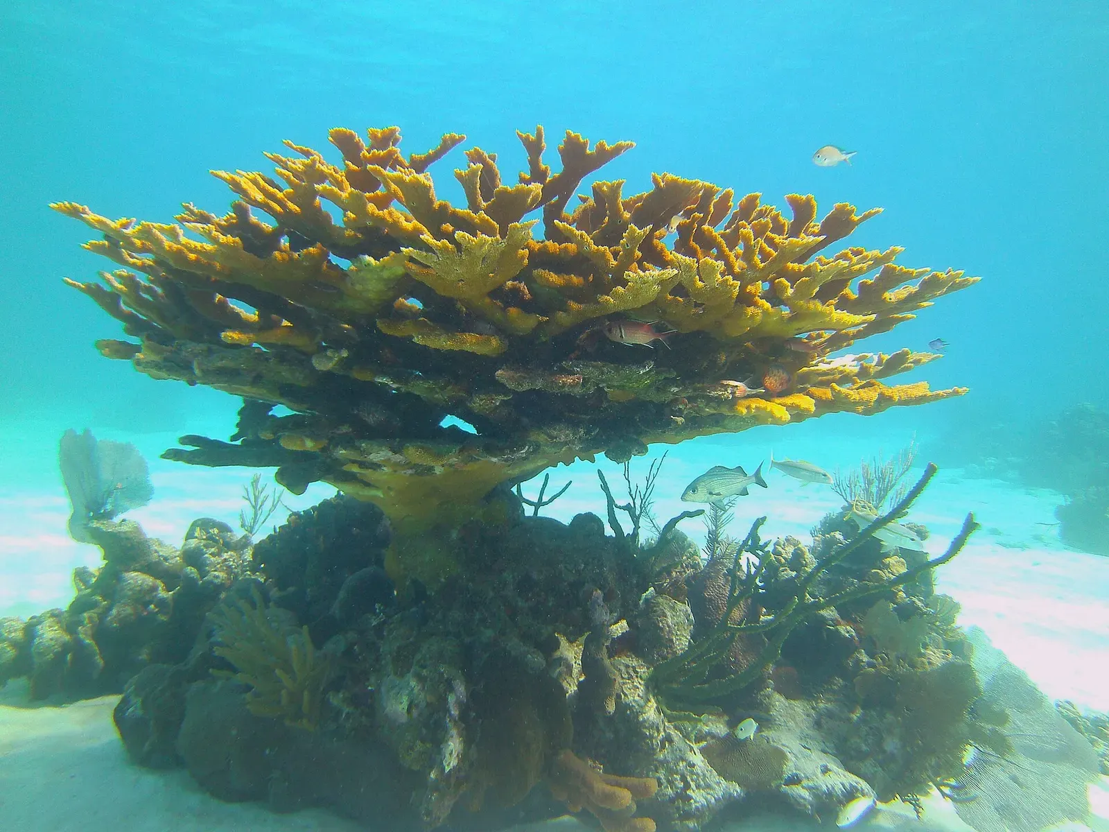
A wall dived from the beach, and Cuba's deepest cenote across the road
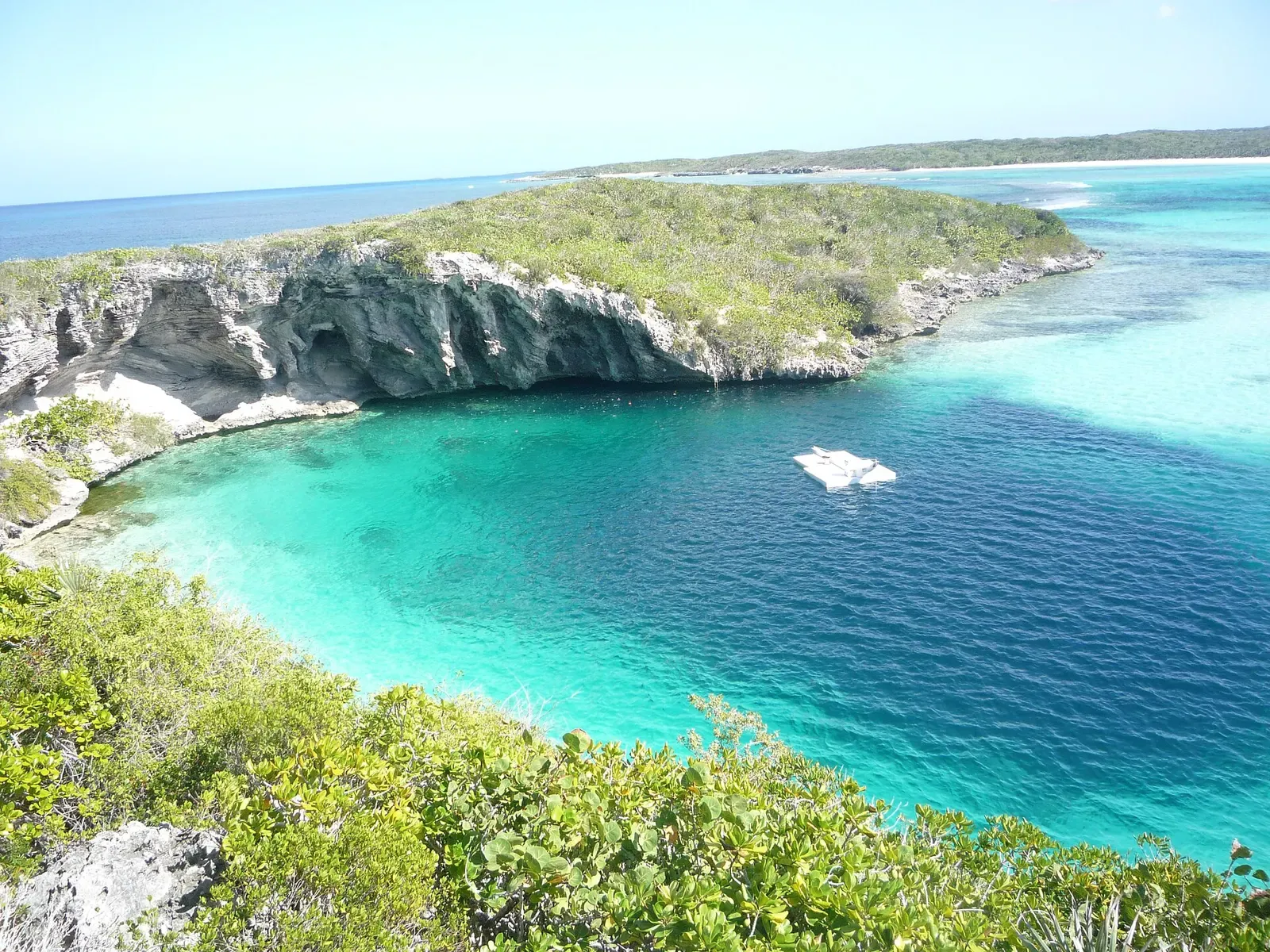
Dean's Blue Hole, the world's freediving capital and third-deepest blue hole
Caribbean
Andros
Bahamas
A 200 km barrier reef with a wall that drops into the Tongue of the Ocean


A Soviet frigate lies broken in two between 15 and 30 m