Miyako-jima · Japan · Cave & cavern · Blue hole
Toriike
Swim in from the sea and surface inside an inland pond
Photo: Paipateroma · CC BY-SA 4.0
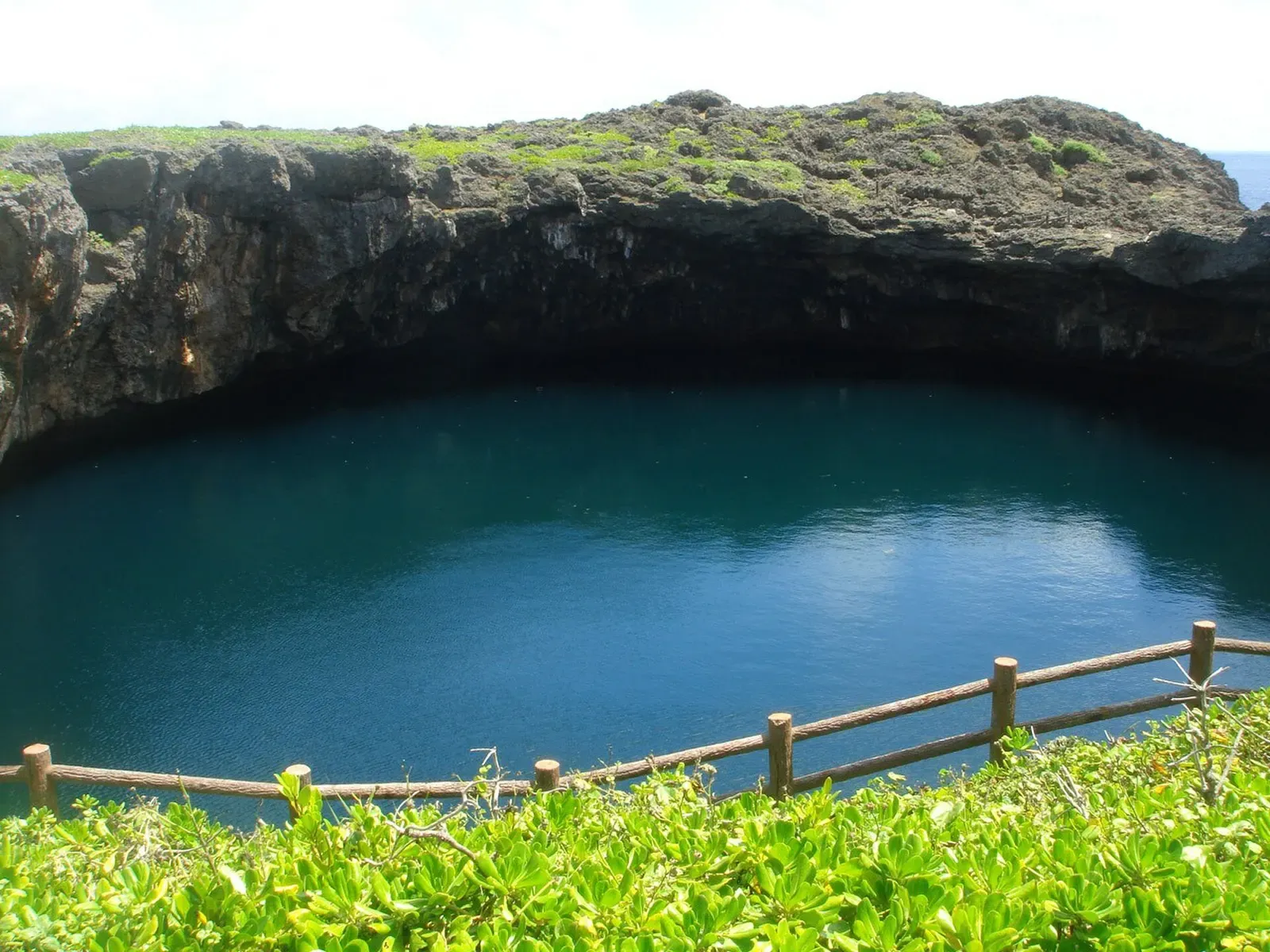
Toriike is a pair of collapsed limestone sinkholes on Shimoji-jima, 75 m and 55 m across, joined underground and connected to the open sea by a cave. Divers swim in through the cave and surface inside the pond, watching the water shift from ocean blue to pond green on the way. It is a national Place of Scenic Beauty and Natural Monument.
Also known as 通り池, Tōriike.
Where it is and how deep
24.8237° N, 125.1350° EPublished position for this site.
Site maps published elsewhere
The dive
The dive starts in the open sea and goes into the arch, a cave whose ceiling sits at 20 m and whose floor drops past 40 m — divers hold around 20 m rather than following the rock down. The scale of the arch is the first thing that registers, and because there is no line to hold, the descent is free and the whole passage is swum on trim and breathing alone.
As the passage runs inland the colour changes, ocean blue giving way to the green of the pond, and the fresh and brackish water layering over the seawater shows as a shimmering thermocline and chemocline. Salinity and temperature vary with depth here, and fish are distributed through the column accordingly. The dive ends by surfacing inside the sinkhole itself, ringed by limestone cliff, which is a strange place to take a regulator out.
Background
Toriike began as a limestone cave in the coastal cliff. Waves cut into it and enlarged it until the roof partly collapsed, leaving a doline sinkhole that seawater then flooded. The result is two ponds side by side — the seaward one 75 m across and 45 m deep, the landward one 55 m across and 25 m deep — linked underground to each other and, through the cave, to the open sea. The site is designated a national Place of Scenic Beauty and Natural Monument as Shimoji-jima no Toriike.
Marine life and season
The sources we used don't single out particular species here.
| Jan | Feb | Mar | Apr | May | Jun | Jul | Aug | Sep | Oct | Nov | Dec |
|---|---|---|---|---|---|---|---|---|---|---|---|
| Fair | Fair | Good | Prime | Prime | Prime | Good | Good | Fair | Prime | Good | Fair |
Season follows Miyako-jima: Apr–Jun and October are the best windows; typhoons disrupt Jul–Sep and winter north winds close the exposed cavern sites.
Know before you go
- The ponds connect to the sea, so the water level rises and falls with the tide and the site is only dived on days with little wind or swell.
Questions divers ask
How deep is the Toriike cave?+
The cave ceiling is at 20 m and the floor lies at about 45 m, but the swim is normally made holding around 20 m rather than descending to the bottom.
Sources
- 通り池 — Wikipedia (ja)
- 宮古島のダイビングスポット — Marine Lodge Marea
- 宮古島のダイビングポイント (My Maps KML) — Marine Lodge Marea
Photo credits
- Twin blue sinkhole ponds of Toriike ringed by green cliffside vegetation under an overcast sky. by Paipateroma, CC BY-SA 4.0, via Wikimedia Commons
In The Logbook
- What are thermoclines and haloclines?Ocean science · 8 min read
- What is a blue hole, and what's down there?Caves & caverns · 13 min read
- Cavern and cenote diving without cave trainingCaves & caverns · 8 min read
More dive sites in Miyako-jima
Cave & cavern
Layered arches and a smiley-face hole at 30 m
Cave & cavern
A cross-shaped crack at 5 m, seen from the chamber below
Cave & cavern
Blue light falling through the ceiling of the main hall
Cave & cavern
Two arches, two heart-shaped openings, a dark cave below
Similar dives elsewhere
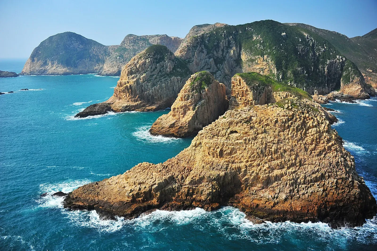
Numerous sea caves cut into a geopark island
Cave & cavern
Blue Cave
Okinawa · Japan
A half-flooded limestone tunnel with 5–8 m of water inside
A huge cave-like arch dotted with yellow sponges and nudibranchs


A 15 m tunnel cave beneath the outer reef