
St. Croix · U.S. Virgin Islands · Wall · Pinnacle · Reef
Salt River Canyon
Two facing walls a quarter mile apart, cut by a prehistoric river
Area photo: NOAA Photo Library · CC BY 2.0
A prehistoric river and waterfall cut this canyon into the north shore, leaving two walls facing each other across a quarter mile of blue water. Boats moor on both: the East Wall in about 12 m, the West Wall in about 6 m above a near-sheer drop. Barracuda, black tip reef sharks and large grouper hold along the edges.
Also known as Barracuda Bank, Grouper Grotto, The Pinnacles.
Where it is and how deep
17.7747° N, 64.7558° WApproximate position — the dashed circle shows where the site lies; your operator's briefing has the mooring.
The dive
On the East Wall, known as Barracuda Bank, the mooring lies in about 40 feet, roughly 12 m. From there the wall slopes down between 40 and 80 feet (up to 24 m) into sand chutes, past large hard coral formations covered in sponges and soft corals. At around 80 feet, about 24 m, it drops off into open water, and black tip reef sharks are a regular sight at that edge. Moray eels, large numbers of barracuda that gave the site its name, big angelfish, parrotfish, lobster, conch and tiger tail sea cucumbers hold on the slope behind it.
The West Wall, called Grouper Grotto or The Pinnacles, is the steeper side. Its mooring sits in about 20 feet, roughly 6 m, and from there the wall goes almost sheer to 61 m (200 ft), then to 152 m (500 ft), and on down into far deeper water. The formations are thought to have been shaped by an ancient above-ground waterfall, and they leave a maze of swim-throughs, cuts, ledges, overhangs, recesses and sand chutes to work through. Schools of creole wrasse, black durgeon and squirrelfish sit under the ledges.
Deeper along the West Wall you meet jacks, large groupers, permit and barracuda, with large pelagic sea life including sharks off the edge. Nurse sharks and reef sharks are here year-round, sea turtles and spotted eagle rays cross the canyon, and pods of dolphins come through on occasion; hammerheads have been seen off the East Wall. Some surge and current can be present, particularly where the wall turns the corner into the canyon.
Background
The canyon is the work of a prehistoric river and waterfall, which cut two deep walls facing each other across a quarter mile of blue water. The site sits inside Salt River Bay National Historical Park and Ecological Preserve: Congress created the park on 24 February 1992, and it is run jointly by the National Park Service and the Government of the U.S. Virgin Islands. February and March bring nursing humpback whales to the waters off the park.
Marine life and season
- Barracuda
- Reef sharks
- Groupers
- Trevally & jacks
- Eagle rays
- Sea turtles
- Dolphins
- Reef fish swarms
- Macro critters
| Jan | Feb | Mar | Apr | May | Jun | Jul | Aug | Sep | Oct | Nov | Dec |
|---|---|---|---|---|---|---|---|---|---|---|---|
| Prime | Prime | Prime | Prime | Prime | Good | Good | Fair | Fair | Fair | Good | Prime |
Season follows St. Croix: Nov–Jun is calmest and clearest; Aug–Oct is hurricane season, though the pier and shore walls stay divable in most weather.
Know before you go
- Surge and current pick up where the wall turns the corner into the canyon, so check the flow on the mooring line before you leave it and keep the return leg into it.
- The West Wall runs almost sheer from 6 m (20 ft) to 61 m (200 ft) and past 152 m (500 ft), so set a maximum depth before you drop and watch your ascent rate coming back.
Dive videos
Diving at Salt River with Cane Bay Dive Shop, St Croix, USVI · Bob Godfrey on YouTube
Salt River Canyon - West Inner Wall - St. Croix, USVI · Alana Baron on YouTube
Salt River Canyon - East outer - deep wall · Alana Baron on YouTube
Questions divers ask
How deep is Salt River Canyon?+
The moorings sit shallow, in about 20 to 45 feet (up to 14 m), and the East Wall drops off at around 80 feet, roughly 24 m. The canyon itself reaches nearly 152 m (500 ft), well below recreational range, so dives are run along the upper wall.
Can you dive Salt River Canyon from shore?+
No. The site has to be reached by boat, with moorings on both the East and West Walls, the East in about 12 m (40 ft) of water and the West in about 6 m (20 ft). Some surge and current can be present, especially where the wall turns the corner into the canyon.
Sources
- Salt River Canyon East Wall (Barracuda Bank) Dive Site — GoToStCroix.com
- Salt River Canyon West Wall (Grouper Grotto) Dive Site — GoToStCroix.com
- Salt River Bay National Historical Park and Ecological Preserve — Wikipedia
More dive sites in St. Croix
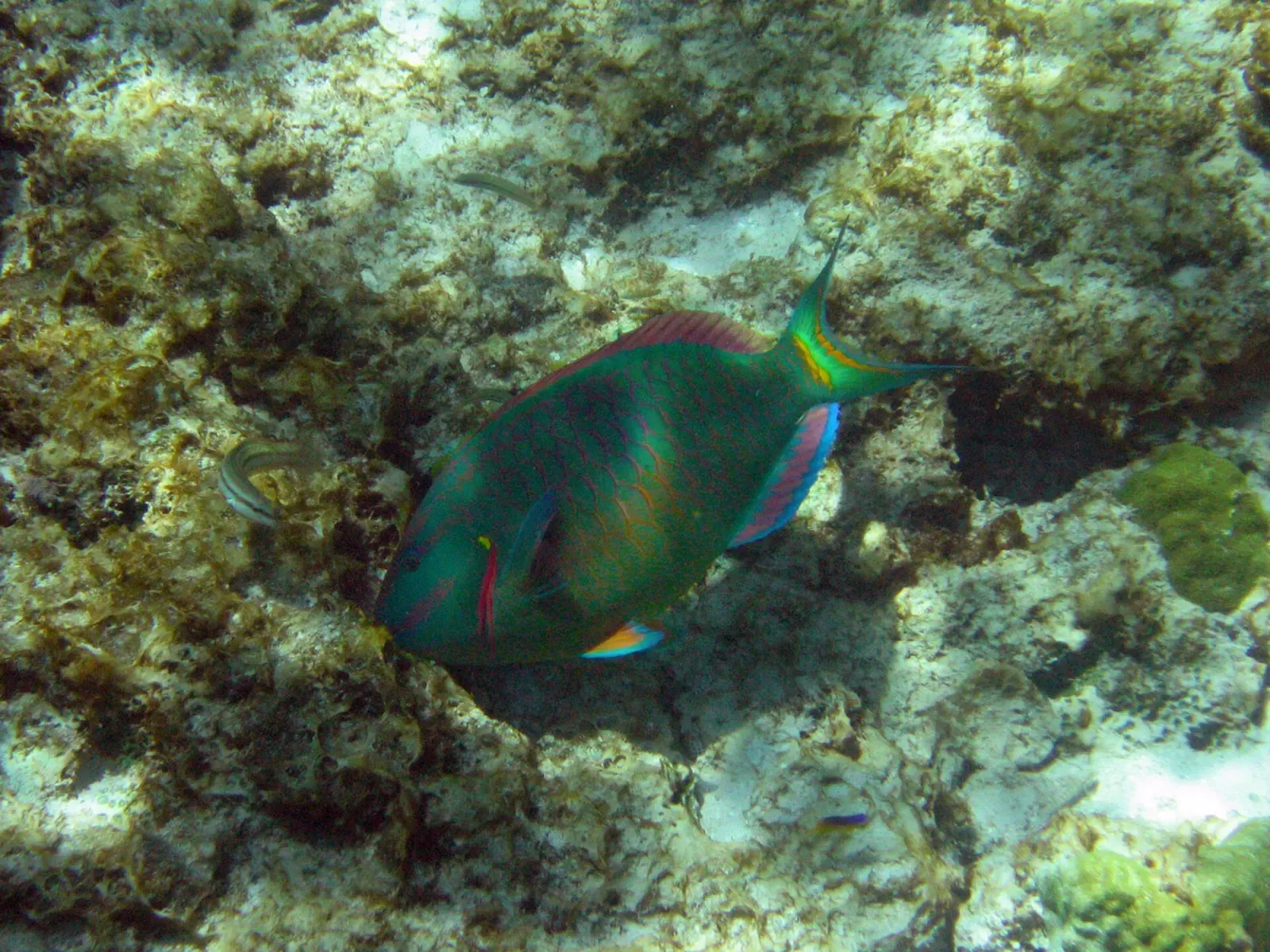
One of only three marked underwater trails in the United States
Wreck
Three sunk ships and a retired underwater habitat in one bay
Wall
Nineteenth-century anchors lie along a wall that drops past 975 m
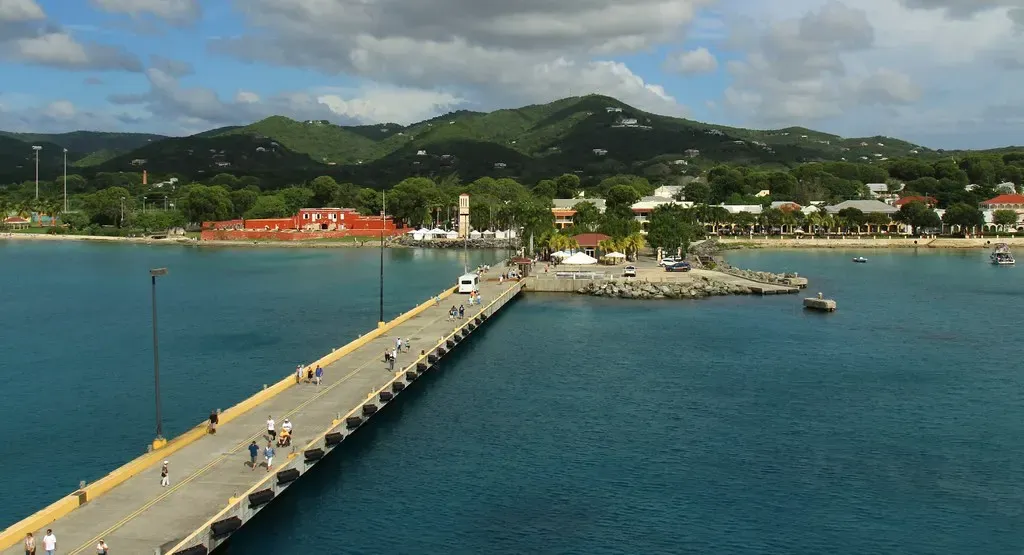
A 7 m shore dive that photographers run day and night
Similar dives elsewhere

Wall top at 15 m with a lobster-covered sand flat at 21 m
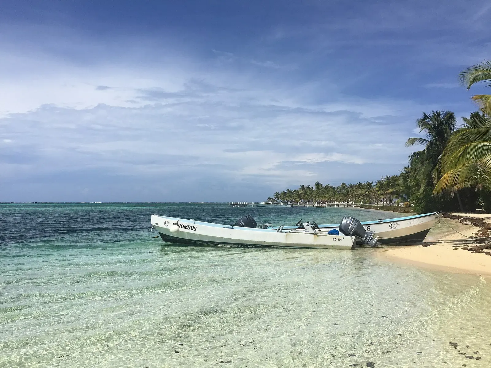
Garden eels on the sand, then a wall that falls past 914 m (3,000 ft)

A pinnacle rising off the North Wall into the Cayman Trench
Twin pinnacles beside a coral-carpeted slope off French Cay