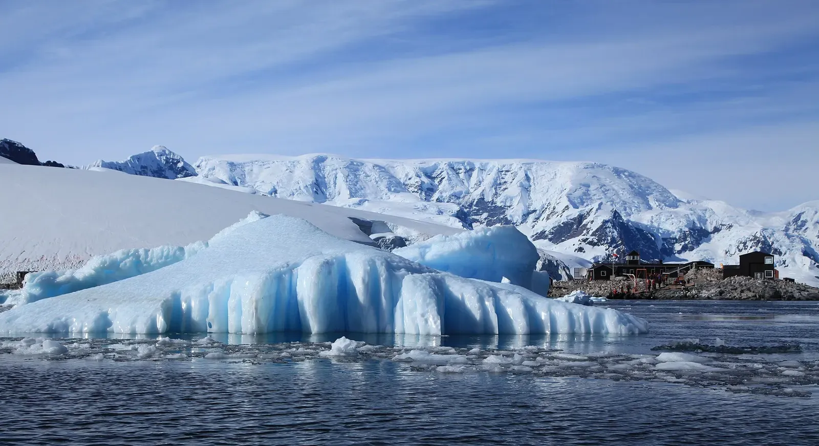
Antarctic Peninsula · Antarctica · Ice
Paradise Harbour
A tidal current keeps this glacier-backed bay ice-free
Photo: Liam Quinn from Canada · CC BY-SA 2.0
Paradise Harbour is a wide embayment on the Danco Coast, west of Graham Land, backed by peaks and glaciers and broken up by the islands sitting off the mainland shore. Ice moves through it almost constantly, and the tidal current running between mainland and islands keeps the bay from freezing even in winter, so there is open water here when much of the coast has closed.
Also known as Paradise Bay.
Where it is and how deep
64.8167° S, 62.8667° WApproximate position — the dashed circle shows where the site lies; your operator's briefing has the mooring.
The dive
This is a Zodiac dive off an anchored ship, and the shape of it is decided late. Ice moves almost constantly between the mainland and the two islands lying off it, Lemaire and Bryde, so a face that looked workable from the bridge at breakfast can be somewhere else by the time the boat is in the water. The guide picks the target on the morning, and the plan is built around where the ice happens to be rather than around a fixed route along the shore.
The reason there is water to dive at all is the current. The tidal stream running through the harbour prevents the ice in the bay from freezing, even in the winter months, so what you get is open water and loose ice rather than a fast-ice lid over the top. The ice changes direction with the two tides daily and attains rates of up to 3 knots, and deep water is found right up to the cliff face of the glaciers, so there is no shallow apron to work along beneath an ice face.
Background
Whalers operating in the vicinity gave the harbour its name, which was already in use by 1920. Two research stations followed on the eastern shore: Argentina's Brown Station, established in 1949-50, and Chile's Gabriel González Videla Station. A shelter erected there in 1950 in honour of Gabriel González Videla holds Historic Site or Monument designation HSM 30, so the eastern shore of the bay is a protected place as well as a working one.
Marine life and season
The sources we used don't single out particular species here.
| Jan | Feb | Mar | Apr | May | Jun | Jul | Aug | Sep | Oct | Nov | Dec |
|---|---|---|---|---|---|---|---|---|---|---|---|
| Prime | Prime | Good | Off-season | Off-season | Off-season | Off-season | Off-season | Off-season | Off-season | Good | Prime |
Season follows Antarctic Peninsula: Expedition ships operate only during the austral summer; the peninsula is inaccessible to tourism the rest of the year.
Know before you go
- Ice moves almost constantly between the mainland and Lemaire and Bryde islands, changing direction with the two tides daily and attaining rates up to 3 knots.
- The tidal current through the bay is strong enough to stop it freezing in midwinter, so water moves under the ice throughout the dive; finish where the Zodiac can reach you.
- Frequent calving of the glaciers can produce an uncomfortable swell and force vessels to move to avoid drift ice, so surface cover may not stay where you left it.
Photos from Paradise Harbour
Liam Quinn from Canada · CC BY-SA 2.0
amanderson2 · CC BY 2.0
Liam Quinn from Canada · CC BY-SA 2.0
Dive videos
Wall Dive at Shag Rock, Paradise Harbour Antarctica · Sue Crowe on YouTube
Questions divers ask
Does Paradise Harbour freeze over in winter?+
Largely not. The tidal current running between the mainland and the islands offshore prevents the ice in the bay from freezing even in the winter months, which is why the harbour holds open water and drifting ice rather than a solid lid.
How deep are the dives at Paradise Harbour?+
Polar dive operations on this coast work to a maximum of around 20 m. Nothing more specific is published for Paradise Harbour itself: no depth profile, visibility or current figures for the bay, and deep water runs right up to the glacier faces, so the guide sets the plan on the morning around where the ice sits.
Sources
- Paradise Harbour — Wikipedia
- Polar Diving — Oceanwide Expeditions
Photo credits
- A large tabular iceberg floating in Paradise Harbour with Chile's González Videla Station in the distance by Liam Quinn from Canada, CC BY-SA 2.0, via Wikimedia Commons
- Snow-capped peaks reflected in the still water of Paradise Harbour by Liam Quinn from Canada, CC BY-SA 2.0, via Wikimedia Commons
- A twin-peaked mountain rising above the glacier-lined shore of Paradise Bay by amanderson2, CC BY 2.0, via Wikimedia Commons
- A gentoo penguin with two chicks at Waterboat Point on Paradise Harbour's shore by Liam Quinn from Canada, CC BY-SA 2.0, via Wikimedia Commons
In The Logbook
- Ice diving: how it works and where to goCold water · 12 min read
- Where to dive in DecemberTrip planning · 10 min read
- Where to dive in every month of the yearTrip planning · 14 min read
- Why you get cold diving, even in a wetsuitBody & health · 8 min read
- Cold-water diving: is it worth the drysuit?Cold water · 8 min read
More dive sites in Antarctic Peninsula
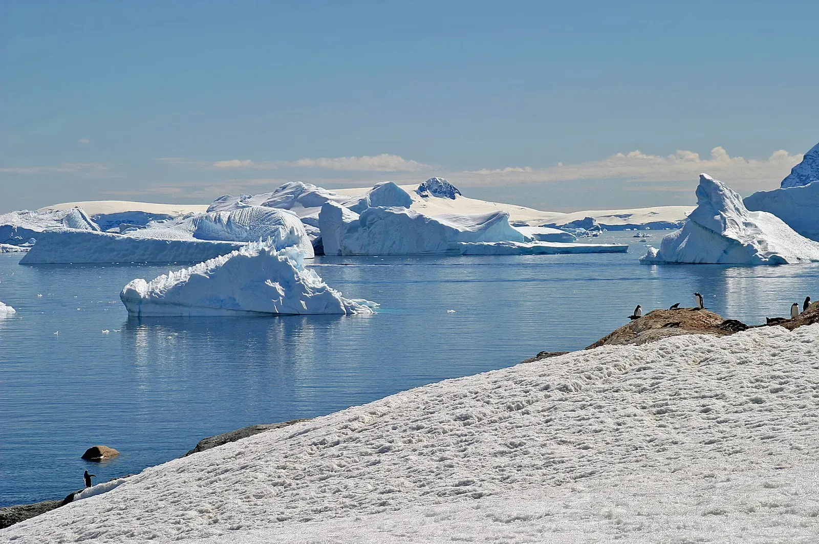
The peninsula's largest gentoo colony, 6,500 pairs
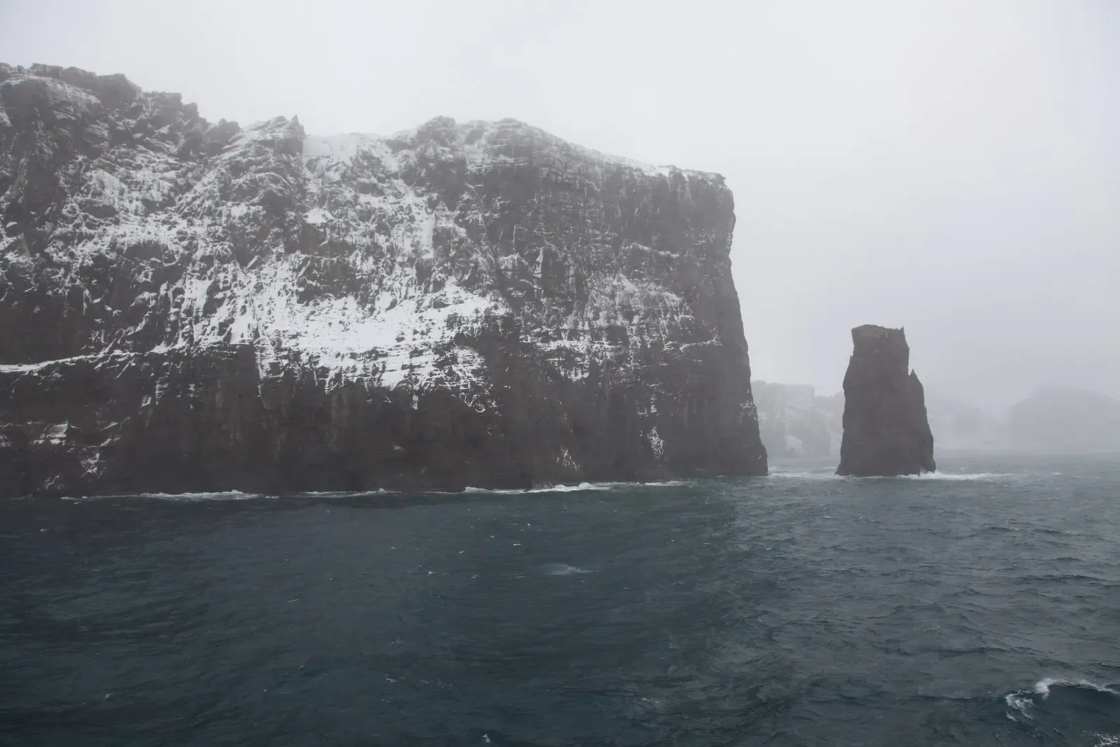
Dive inside the flooded caldera of an active volcano
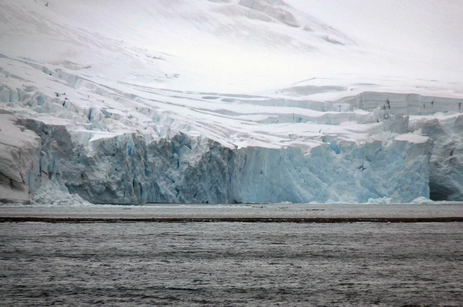
Chinstrap colony and seal haul-outs in McFarlane Strait
Similar dives elsewhere
Bays here only appeared as the glaciers pulled back
A nerpa pup swimming alongside divers at a seal hole in the ice
Two glaciers head this 26 km fjord off Ny-Ålesund
.jpg)
.jpg)

.jpg)
A glacier front at the head of a north-west Spitsbergen fjord