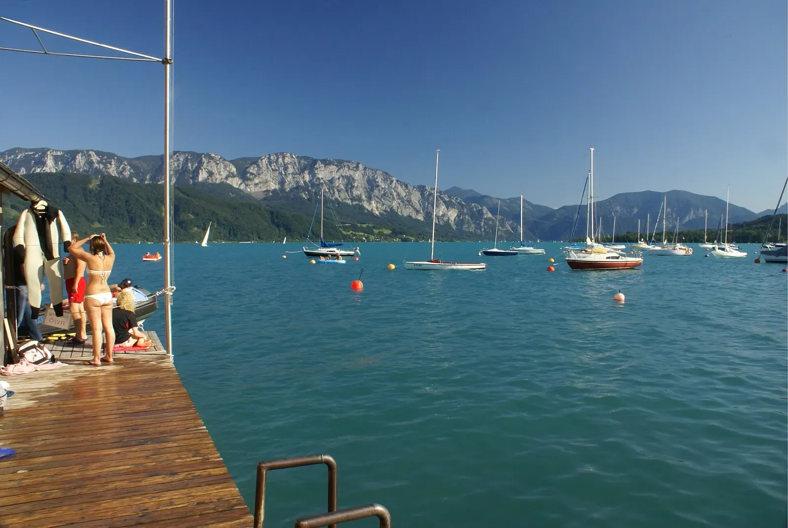
Attersee · Austria · Freshwater
Unterwasserwald
A stand of trees up to 20 m long, sunk by a 1959 landslide, still lying on the lakebed
Area photo: Florian Prischl · CC BY-SA 3.0
Near Kammer, north of Schörfling, a September 1959 landslide pushed a stand of trees into the Attersee, and trunks up to 20 m long still lie scattered across the soft, muddy bottom in 20 to 30 m of water. A buoy chain anchored at 21 m marks the way into the forest, and the return leg is normally navigated on a compass heading rather than by sight.
Also known as Unterwasserwald Kammer.
Where it is and how deep
47.9332° N, 13.5865° EApproximate position — the dashed circle shows where the site lies; your operator's briefing has the mooring.
The dive
The site sits at Kammer, on the stretch of shore where a landslide in September 1959, triggered by exceptionally heavy rainfall, pushed a stand of trees down the slope and into the lake. Divers still find trunks up to 20 m long lying across the bottom today, some flat in the soft, muddy silt and others angled upright, in water between 20 and 30 m deep.
A buoy chain anchored at 21 m marks the way down into the forest, and swimming out on the surface to the outer right-hand buoy first, rather than descending straight off the shore, saves both air and time before the dive proper starts. Once below, the trunks lie crossed and scattered rather than in any obvious rows, giving the site a genuinely eerie, disordered feel that is unlike the managed wrecks and models elsewhere on the lake.
The return leg is where the site asks for discipline: the recommended route back follows a compass heading of roughly 090° rather than a visual trail, working past progressively smaller trees until the shore comes into view, marked by an upright paddle planted at the exit point. Buoyancy matters throughout, since the mud bottom lifts into suspension easily and ruins visibility for anyone diving behind.
Background
In September 1959, unusually heavy rainfall triggered a landslide on the slope between Kammer and Weyregg, carrying a stand of trees down into the lake. More than sixty years on, trunks up to 20 m long remain in place in 15 to 30 m of water, and the site is now dived specifically for that drowned forest.
Marine life and season
The sources we used don't single out particular species here.
| Jan | Feb | Mar | Apr | May | Jun | Jul | Aug | Sep | Oct | Nov | Dec |
|---|---|---|---|---|---|---|---|---|---|---|---|
| Prime | Prime | Good | Good | Good | Good | Fair | Fair | Good | Good | Good | Prime |
Season follows Attersee: Diving runs year-round; visibility peaks near 30 m in winter, while July and August bring more bathers, boat traffic and sometimes murkier water.
Know before you go
- The bottom is soft, fine silt that clouds badly if disturbed; poor buoyancy or heavy fin kicks can cost the group its visibility for the rest of the dive.
- The exit is found by compass heading (about 090°) rather than by sight; getting the bearing wrong in low visibility can add unplanned time and distance to the swim back.
Sources
- Attersee — Wikipedia (German)
- Taucheinstiegsstelle Unterwasserwald — Attersee-Attergau Tourismus
- Tauchspots — Nautilus Tauchschule am Attersee
In The Logbook
- Diving at altitude: why the rules changeBody & health · 7 min read
- Freshwater diving: lakes, springs and quarriesFreshwater · 15 min read
More dive sites in Attersee
Freshwater
A submerged pile-dwelling model that becomes a nativity scene every Advent to Candlemas
A rowing boat nicknamed the 'Titanic' sits at 32 m below the Unterach wall
Wall
A limestone wall dropping in stages past 100 m, capped at 40 m for recreational divers
Similar dives elsewhere
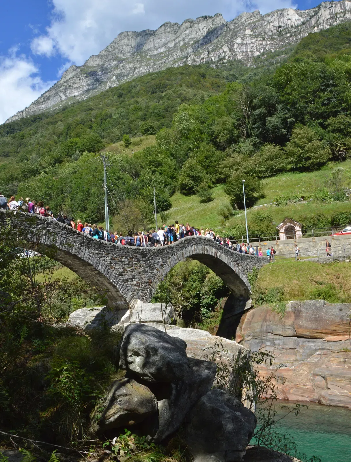
Clear, cold pools under the two-arched bridge at Lavertezzo
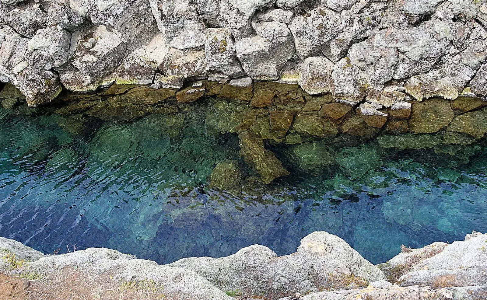
The narrowest water in Silfra, both walls within reach at once
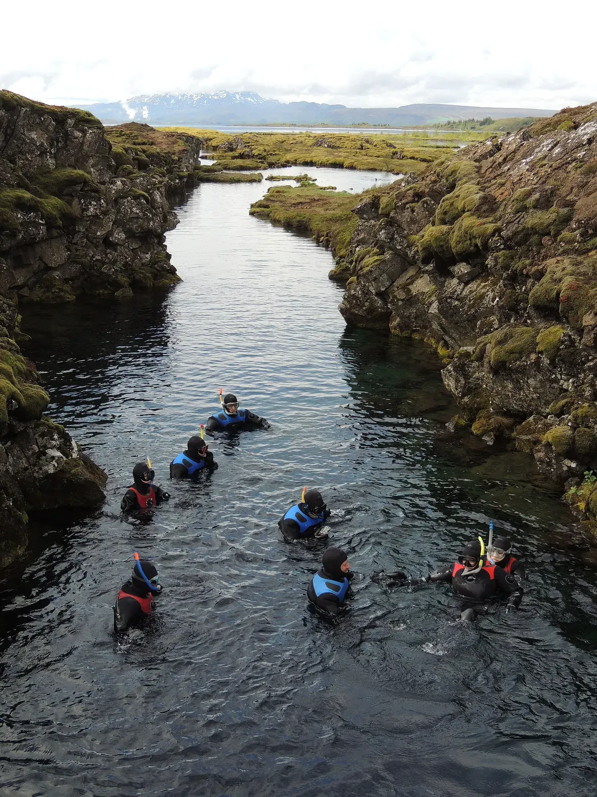

See the full 100 m length of the corridor from its entrance
The fissure opens into a hall floored with car-sized boulders