The model that grew up above the sea
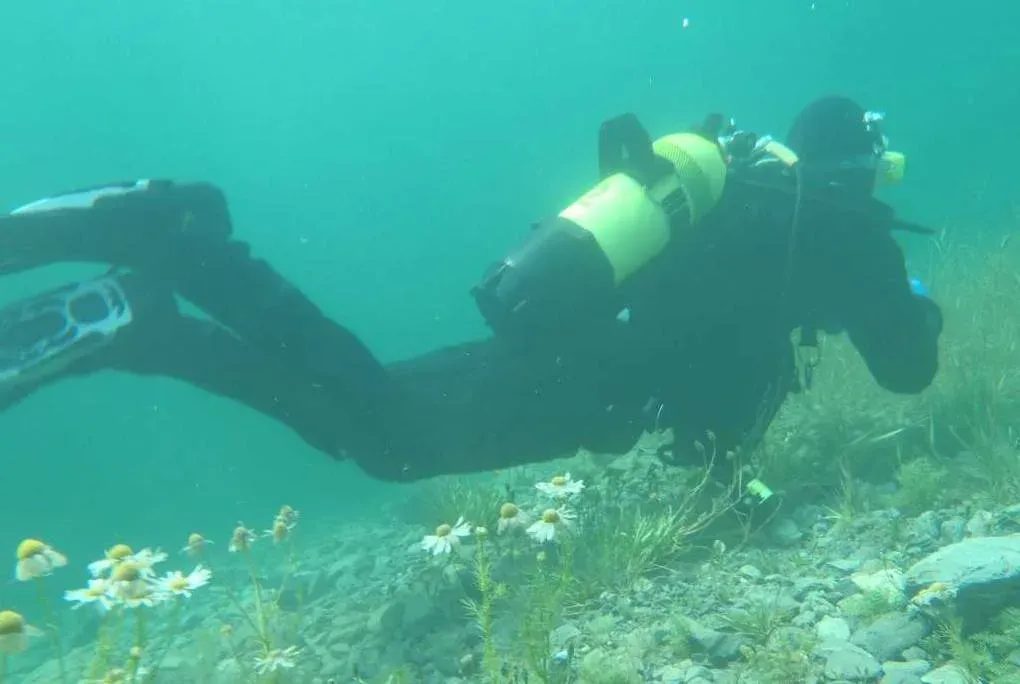
Somewhere around 1,800 metres in the Swiss Alps sits Lake Silvaplana, and in its cold water the sea-level rulebook once failed a controlled experiment. Swiss military divers ran dives there on French navy tables written for the ocean, and two of the eight got decompression sickness. The tables were not wrong at the coast; they were wrong here, and the physician who took up the problem was Albert Bühlmann of the University Hospital Zürich — a man whose laboratory sat 400 metres above any sea, in a country that does not have one.
What followed is the reason your dive computer has an altitude story at all. The Swiss military adopted Bühlmann’s tables in 1972, and through the 1970s his group kept testing and extending them: chamber dives at a simulated 3,000 metres — 106 of them in the 1976 study alone — plus hundreds of real dives in lakes between 900 and 1,700 metres, published as air decompression tables valid from sea level to 3,200 metres. By 1989 he could count 573 simulated dives and 544 real ones in mountain lakes from 1,400 to 2,600 metres — and in Lake Titicaca, where a 1987 expedition dived his ZH-L16 algorithm at 3,800 metres in the Andes without decompression trouble. That algorithm — ZH for Zürich, L for limits, 16 for the compartments — is the one running on most modern computers, and the one behind every decompression chart on this site. Altitude is not an awkward edge case bolted onto it. Altitude is where it grew up.
What a thinner surface does to the sums
Decompression is a ratio: gas dissolved in you against pressure around you. Climb, and the second number falls — at 1,500 metres the atmosphere is 0.85 bar, at 3,000 it is 0.70, a computable curve this site already draws for aircraft cabins. The 300-metre line where the training agencies start calling it altitude diving is where about 3.5 per cent of the atmosphere has gone — PADI’s specialty puts it at exactly that: above 300 metres is altitude diving.
The dive itself barely notices. Thirty metres (100 feet) of water is thirty metres of water, and the pressure added by descending is the same in Lake Tahoe as off a reef. What changes is the surfacing: the tissues you loaded at depth must now tolerate a surface that pushes back less. Feed that through the model and every no-stop limit contracts.
The 18-metre dive that gets 62 minutes at the coast gets 53 at 1,500 metres and 46½ at 3,000. At 30 metres the fresh limits run 20, 17 and 14½ minutes. Take the model to Titicaca’s 3,812 metres and the 18-metre dive keeps 43 minutes, the 30-metre dive 13½. The shrinkage looks gentle until you read it against the safety-stop guide’s scorecard: the same 18-metre, 40-minute dive with a three-minute stop that surfaces at 71 per cent of the model’s M-value ceiling at sea level surfaces at 77 per cent at 1,500 metres and 84 per cent at 3,000 — the altitude quietly spends the entire margin the stop buys, and then some. Same dive, same careful ascent, appreciably closer to the line, with the nearest chamber usually a mountain road away.
Planning by imaginary depths
Divers met this problem long before computers did, and the fix they settled on has a wonderful bluntness: if the tables assume the wrong surface, lie to the tables.
The method is credited to E. R. Cross, who published it in Skin Diver magazine in 1967 and refined it in 1970, and the NOAA Diving Manual still teaches it by his name: the Cross correction. Multiply your real depth by the ratio of sea-level pressure to the pressure at your altitude, and plan the dive as if it were that deep. The theory was formalised properly in 1976, when Bell and Borgwardt derived the corrections for the US Navy tables in Undersea Biomedical Research.
A 30-metre dive is planned as a 36-metre dive at 1,500 metres of elevation, a 38-metre dive at Lake Tahoe, a 43-metre dive at 3,000 metres — and the ascent rate and stop depths shrink by the inverse ratio. The Navy’s thresholds for bothering are themselves a small education: below 91 metres of elevation, no correction; from 91 to 300 metres, corrections only for dives deeper than 44 metres; above 300 metres, corrections for everything. That staircase is where the “300-metre rule” in every altitude course comes from. One honest footnote belongs here: NOAA’s procedure treats all water as seawater — “no corrections will be made based on water salinity” — so the imaginary depth does all the work in one multiplication, and so does the diagram above.
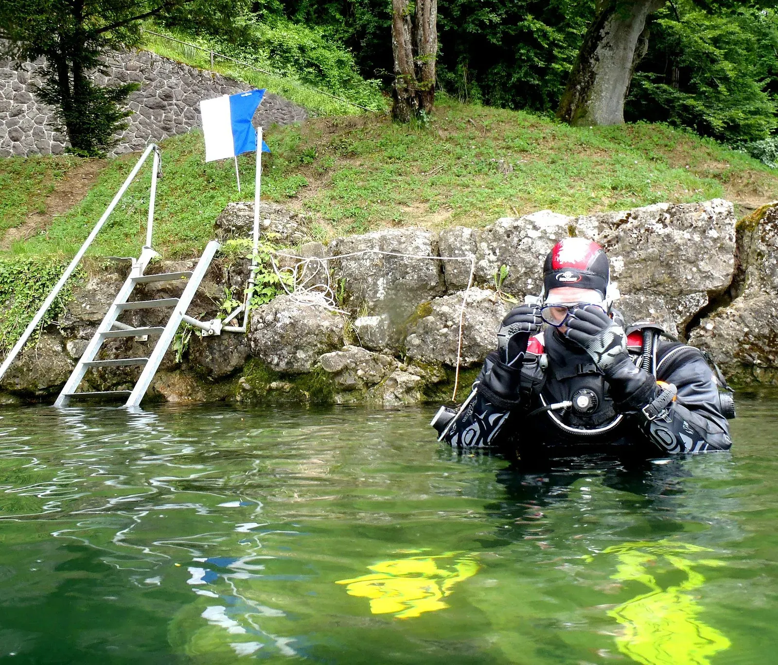
A modern computer does the whole dance natively — not by imaginary depths but by re-running its model against the real surface pressure, which is exactly what its algorithm was validated for. It only asks one thing: that it gets to see that surface. Switch it on at the lake, let it read the pressure before you splash, and check its altitude mode is engaged rather than assuming; the manual’s phrase “automatic altitude adjustment” always carries a range and a condition or two.
Arriving is a dive, too
There is a subtler trap at the trailhead. Drive from the coast to a mountain lake and you arrive supersaturated relative to your new surface — a body equilibrated to 1 bar standing in 0.8. You are, in the model’s terms, mid-surface-interval from a dive you never made. The NOAA manual is explicit: twelve hours at altitude are required for equilibration, and a dive begun sooner should be treated as a repetitive dive “with the first dive being the ascent from sea level to altitude”, carrying residual nitrogen into the sums. The same physics runs in reverse on the way home — the drive back down is fine, but a pass above the lake on the way out is the flying-after-diving problem wearing hiking boots.
People have taken this logic to magnificent extremes. Jacques Cousteau took an expedition to Lake Titicaca in 1968, submarines and all. A 1982 team under Charles Brush and Johan Reinhard dived Licancabur’s crater lake at 5,900 metres; a 2007 team led by Philippe Reuter went slightly higher at Pili; and in December 2019 the Polish diver Marcel Korkus dived a pool on Ojos del Salado at 6,395 metres, through 1.3 metres of ice into 3-degree water, with less than half an atmosphere overhead. At that point the diving is the easy part; it is mountaineering with a cylinder.
Fresh, cold, and a gauge that lies a little
Nearly every altitude dive is also a freshwater dive, and the two changes arrive as a package with a third — cold — riding along.
Fresh water is about 2.5 per cent less dense than the sea — NOAA’s figures are 62.4 against 64.0 pounds per cubic foot — so a diver and rig displacing a hundred litres get roughly 2.5 kilograms less support than at the coast. The sea-weighted diver is overweighted in a lake; the weighting guide’s arithmetic transfers directly, minus a couple of kilograms on the first line. The same density difference reaches your instruments: a depth gauge calibrated for seawater reads about 2.5 per cent shallow in fresh water — a metre missing at 40 — and NOAA notes that at altitude an uncorrected mechanical gauge misreads further still, again on the shallow side, because its zero was set against an atmosphere that is no longer there. A computer set to fresh water and acclimatised to the site gets all of this right at once; a rented gauge and a memorised table get all of it wrong in the same direction.
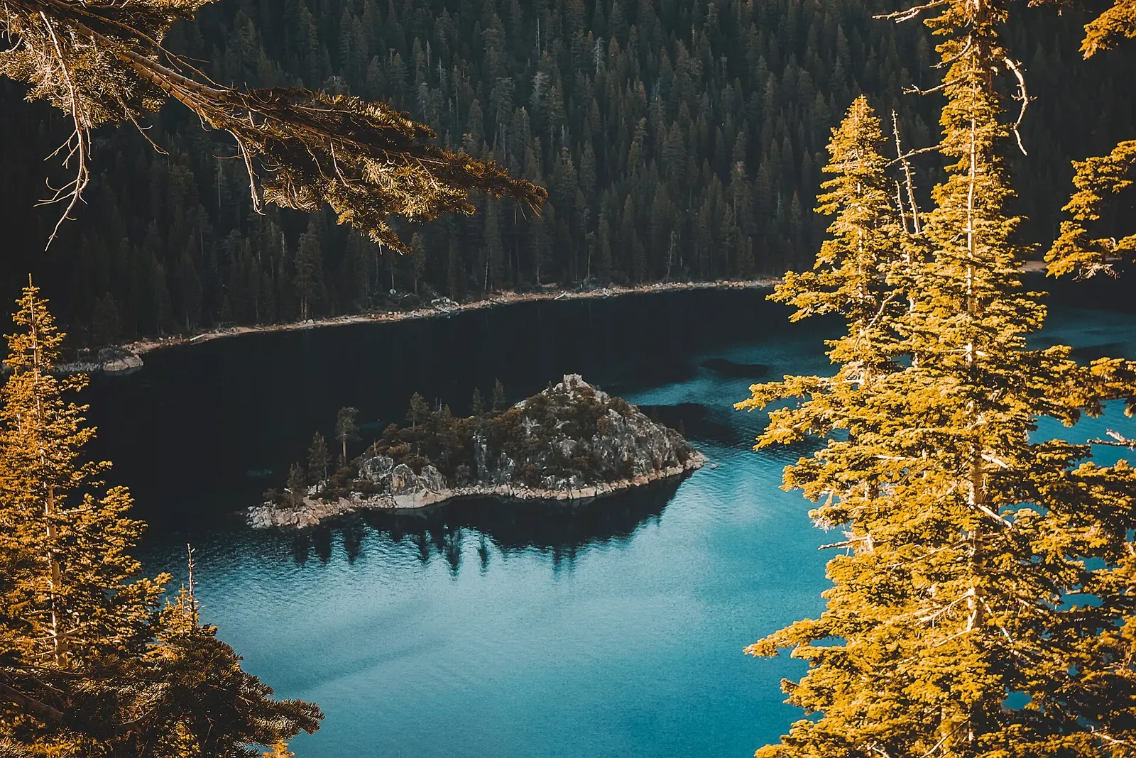
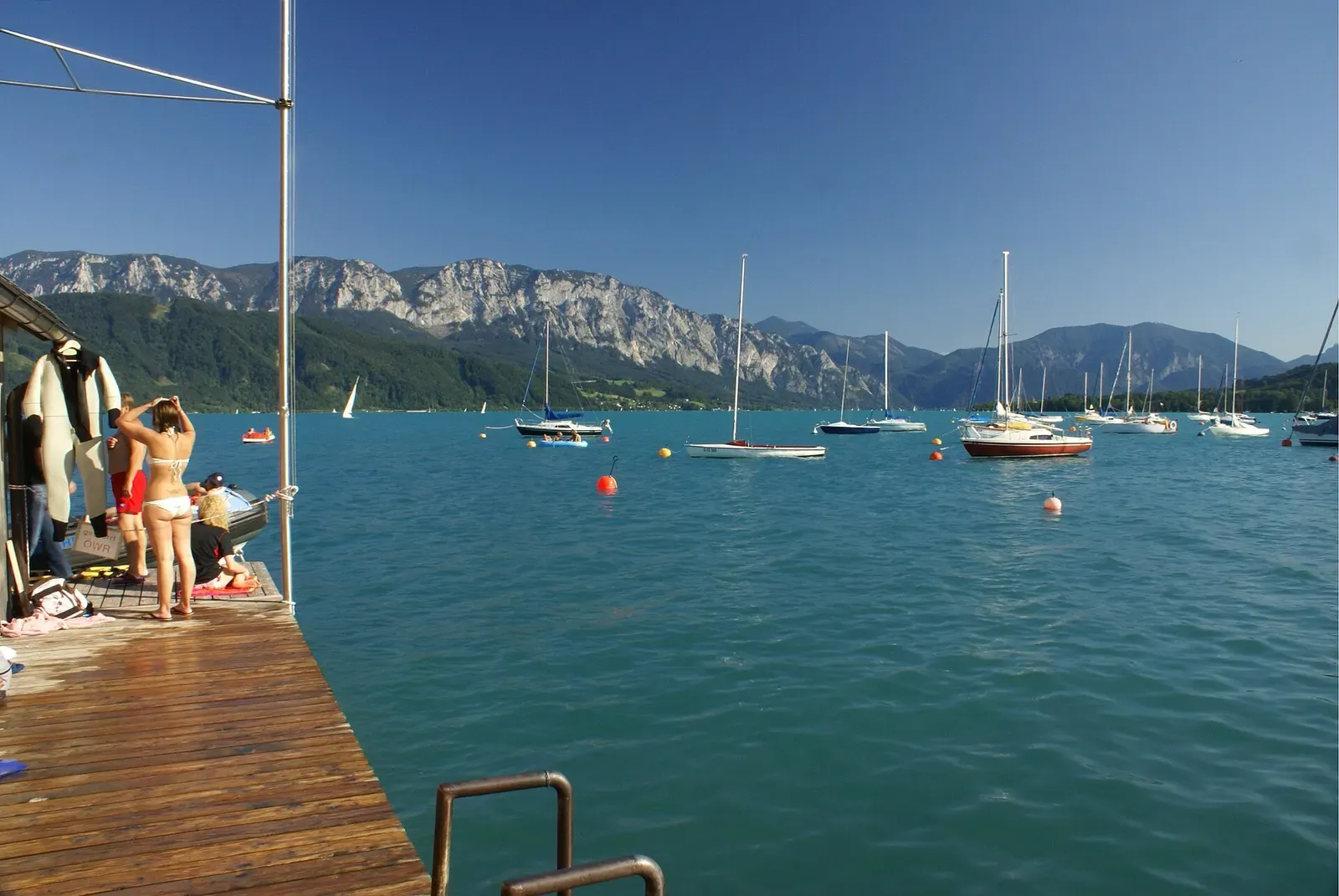
And mountain water is cold in a particular way: lakes stratify, the densest water at 4 °C sinks, and below the summer thermocline the temperature stops negotiating — Tahoe is near 4 °C a few metres down in August, the Attersee holds 4.6 to 4.9 all year at depth. The cold-water guide covers the suits and the discipline; the freshwater guide covers everything else the missing salt changes. What altitude adds is that the cold arrives on top of shorter limits and thinner margins, at sites that are usually remote.
Where the surface is above the sea
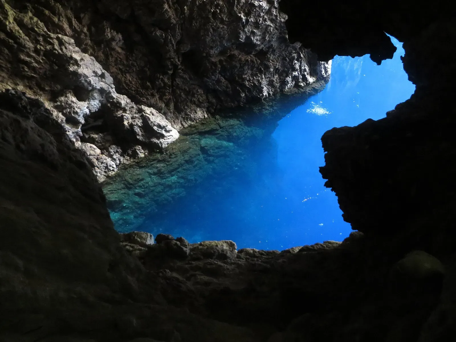
Five places in our data are genuine altitude diving, and they cover the whole register: Lake Malawi’s cichlid boulders at 468 metres, the Attersee’s walls at 469, the Verzasca’s river pools at 536, the Chinhoyi Caves’ Sleeping Pool near 1,150 metres, and Lake Tahoe at 1,897 — where every dive, however shallow, is an altitude dive by every agency’s definition. It cuts the other way, too: Europe’s famous quarry lakes and Mount Gambier’s sinkholes sit low enough that no correction applies. A lake is not automatically altitude; a map contour is the only thing that decides.
| Site | Depth | Level | Best months |
|---|---|---|---|
| Rubicon Wall Lake Tahoe · United States | to 27 m | Advanced | Jul–Sep |
| Emerald Bay Maritime Heritage Trail Lake Tahoe · United States | 3–18 m | Intermediate | Jul–Sep |
| Sand Harbor Lake Tahoe · United States | 9–15 m | Beginner | Jul–Sep |
| Sugar Pine Point Lake Tahoe · United States | to 30 m | Intermediate | Jul–Sep |
| Schwarze Brücke Attersee · Austria | to 40 m | Advanced | Dec–Feb |
| Unterwasserwald Attersee · Austria | 20–30 m | Intermediate | Dec–Feb |
| Dixi Attersee · Austria | to 22 m | Intermediate | Dec–Feb |
| Kohlbauernaufsatz Attersee · Austria | to 32 m | Intermediate | Dec–Feb |
| Ponte dei Salti Verzasca Valley · Switzerland | to 10 m | Intermediate | Jun–Aug |
| Otter Point Lake Malawi · Malawi | to 16 m | Beginner | Sep–Nov |
| Usipa Wreck Lake Malawi · Malawi | to 30 m | Advanced | Sep–Nov |
| Sleeping Pool Chinhoyi Caves · Zimbabwe | to 20 m | Advanced | Aug–Nov |
| Bat Cave Chinhoyi Caves · Zimbabwe | to 13 m | Advanced | Aug–Nov |
Sub. Ponte dei Salti -2- Verzasca-Lavertezzo-2012. · daniel mazza on YouTube
The model doing this article’s arithmetic is unpacked in how your dive computer decides; its other thin-air problem — the aircraft cabin, and the hours before it — is in flying after diving; and the day-scale bookkeeping that altitude quietly re-prices is in surface intervals.