
Cabo de Palos & Islas Hormigas · Spain · Seamount · Reef · Wall
Bajo de Fuera
A submerged mountain from 55 m to 3 m, four hulls on its flanks
Area photo: Marta T López · CC BY-SA 4.0
The outer of the reserve's two seamounts, a submerged mountain that climbs from 55 m to within 3 m of the surface well off the cape. The authorised centre that runs it describes an uncomplicated dive as long as you stay above 20 m, and a different proposition below that, where the wrecks are: at least four hulls are distinguishable on the rock, one of them the Sirio.
Also known as La Losa.
Where it is and how deep
37.6628° N, 0.6364° WPublished position for this site.
The dive
You go in on the mooring off the summit, which comes up to 3 m, and drop onto rock that keeps falling away: the mountain rises from 55 m, so every direction off the top is downhill. The dive the centre describes for recreational divers stays above 20 m, working the upper terraces and the faces immediately below them and coming back to the top for the ascent. Currents here can get up in a very short time, so the guide's briefing covers which side of the rock to work and where to shelter if it turns.
The animal life is the reason the rock is dived, and it is unusually dense for how exposed the position is. Large groupers sit out on the rock, barracuda hold over it, tuna cut past hunting, and turtles, sunfish and eagle rays all turn up. Shoals of amberjack and dentex work the blue edge of the reef, and moray and conger eels are in the cracks below them.
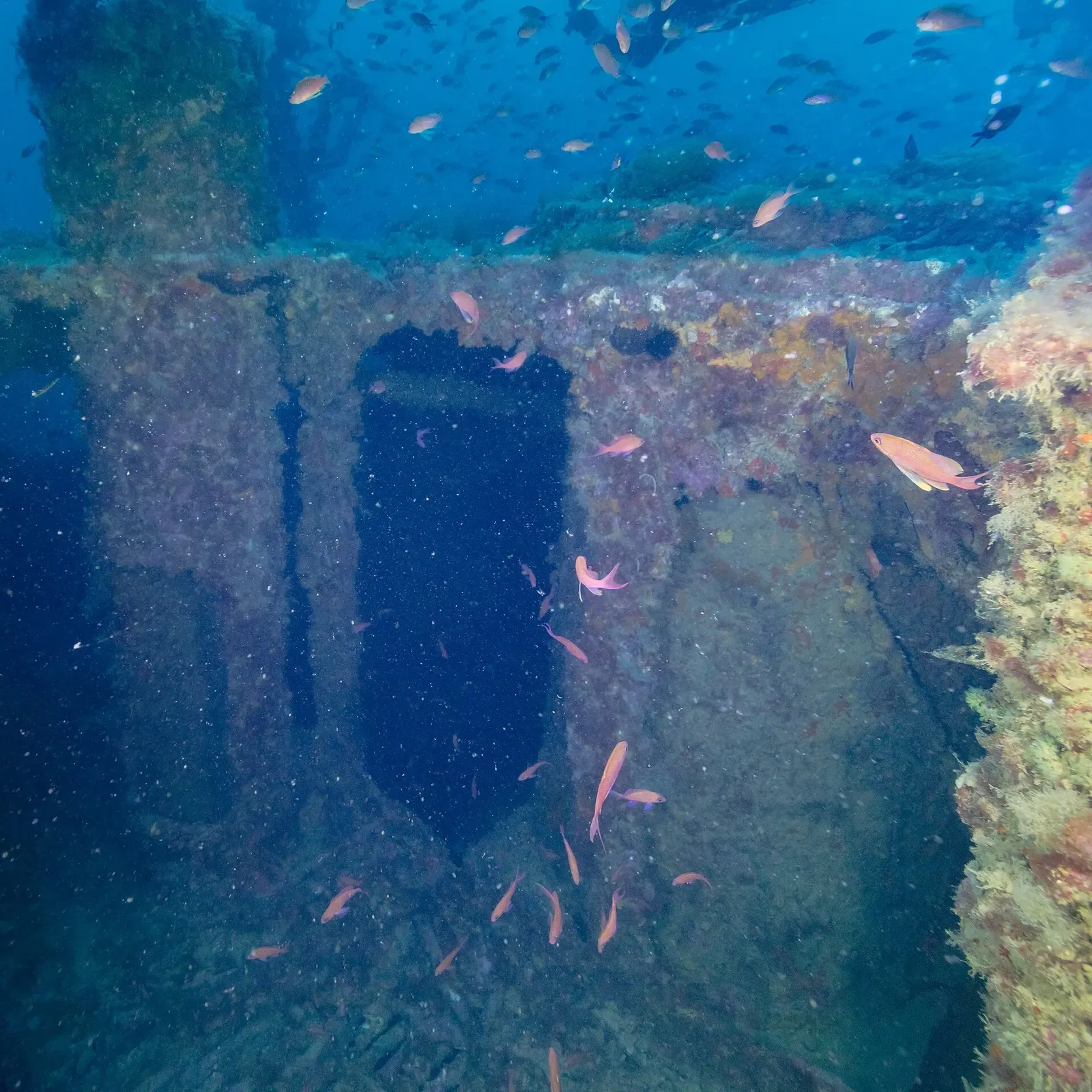
Deeper, the flanks carry the wreckage. Ships piled onto this rock through the late nineteenth and early twentieth centuries and the remains have come to rest on top of one another, with at least four hulls still separately recognisable, the Sirio among them. They sit at a depth that puts them outside a normal recreational profile, so reaching them is a planned deep dive with the right gas and training rather than an extension of the dive on the summit.
Marine life and season
- Groupers
- Barracuda
- Tuna
- Sea turtles
- Mola mola
- Eagle rays
- Trevally & jacks
| Jan | Feb | Mar | Apr | May | Jun | Jul | Aug | Sep | Oct | Nov | Dec |
|---|---|---|---|---|---|---|---|---|---|---|---|
| Fair | Fair | Fair | Good | Good | Prime | Prime | Prime | Prime | Prime | Good | Fair |
Season follows Cabo de Palos & Islas Hormigas: Jun–Oct has the warmest water and the calmest crossings; winter is clearest but cold, and easterly winds close the seamounts year-round.
Know before you go
- Current can rise fast on an exposed offshore rock: stay with the guide, keep the mooring line in your plan and abort up the rock rather than across open water.
- The summit at 3 m sits over a mountain falling to 55 m, so depth creeps easily on the faces; set a hard turn depth before you descend.
- The wreckage on the flanks is deeper than the recreational profile and is not a detour to be taken on a whim.
Dive videos
BRUTAL BAJO DE FUERA CABO PALOS 4K · JUAN ORTIZ BUCEO on YouTube
PECIO NORTH AMERICA. BAJO DE FUERA. CABO DE PALOS · JUAN ORTIZ BUCEO on YouTube
Questions divers ask
How deep is Bajo de Fuera?+
The seamount rises from 55 m to a summit at 3 m. The recreational dive the local centre describes stays above 20 m; the wrecks on the flanks are considerably deeper and need deep or technical training.
Can I dive it without a guide?+
No. Bajo de Fuera is inside the Cabo de Palos and Islas Hormigas marine reserve, where diving is allowed only through authorised dive centres and under a daily cap on diver numbers.
Sources
- Bajo de Fuera dive site — PADI
- Where do we dive? — Centro de Buceo Islas Hormigas
- Cape Palos — Wikipedia
In The Logbook
- Sunfish diving: where and when to see a molaBig animals · 11 min read
More dive sites in Cabo de Palos & Islas Hormigas
A rock needle to 3 m, with a conger cave at 22 m on its east side
Reef
Blocks, caves and furrows in the south face that took ships' anchors
Pinnacle
A rock spine with a crest at 12 m and groupers along its length
Gorgonians on the vertical north wall of a submerged island
Pinnacle
A steep gorge to 25 m holding the remains of an old anchorage
Steps from the lighthouse car park into the cape's main shore dive
Reef
Shallow cove diving at the foot of the Cabo de Palos lighthouse
Intact 1946 orange freighter, forecastle at 28 m, stern at 45
Similar dives elsewhere

Fusiliers roll down the slope thick enough to block the view.

Seamount rock from 5 m to past 40 m, gorgonians throughout
Seamount
Secca delle Formiche
Ischia & Procida · Italy
Volcanic pinnacles where amberjack, tuna and barracuda school
A seamount circled at the edge of the northern reserve