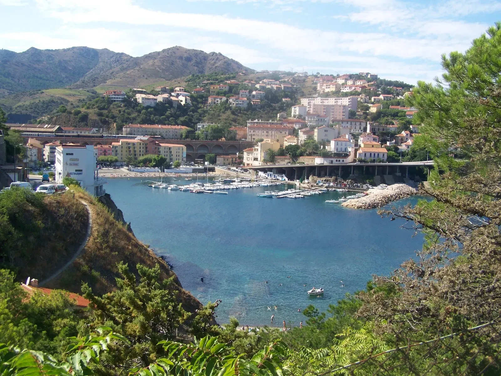
Banyuls-sur-Mer & the Côte Vermeille · France · Reef
Cap Peyrefite
Beach entry into a marine reserve, with a signposted underwater trail
Area photo: Florian Pépellin · CC BY-SA 3.0
A reserve site near Cerbère, at the heart of the Cerbère-Banyuls marine reserve, that runs from the shoreline to 30 m over rock and Posidonia. It can be entered from the beach as well as by boat, and a signposted underwater trail runs from the same shore, so it serves snorkellers as well as divers going deeper for the groupers and red coral.
Where it is and how deep
42.4568° N, 3.1692° EPublished position for this site.
The dive
From the beach you enter over the shallows and pick up the signposted underwater trail, which starts at the surface and is as much a snorkel route as a dive. The bottom here is rock with Posidonia meadow, and the trail markers take you over both. Divers who want more than the trail carry on outward, where the site steps down and runs to 30 m.
The deeper ground is where the reserve life shows itself: groupers hold on the rock and red coral grows on it. Boat divers drop straight onto this outer section and work it at depth before coming back up through the Posidonia. Whichever way you came in, the shallow end of the site is where the dive finishes, so the trail ground doubles as the safety stop.
Marine life and season
- Groupers
| Jan | Feb | Mar | Apr | May | Jun | Jul | Aug | Sep | Oct | Nov | Dec |
|---|---|---|---|---|---|---|---|---|---|---|---|
| Fair | Fair | Fair | Fair | Good | Prime | Prime | Prime | Prime | Good | Fair | Fair |
Season follows Banyuls-sur-Mer & the Côte Vermeille: The Banyuls centres open year-round, but the sea averages 12 °C in February against 23 °C in August, the reserve's snorkel trail runs June to September, and the Tramontane can stop boats in any month.
Know before you go
- The site is inside the Cerbère-Banyuls marine reserve: scuba diving is banned in the reserve's integral zone and regulated in the rest of the reserve, so dive it with a local centre or club.
Questions divers ask
How deep is Cap Peyrefite?+
The site runs from the surface to 30 m. The signposted underwater trail is in the shallows off the beach; the ground beyond it steps down to 30 m, which is where the groupers and red coral are.
Can I dive Cap Peyrefite from shore?+
Yes. The site is accessible from the beach as well as by boat, and the same shore is the start of the reserve's signposted underwater trail.
Sources
- Cap Peyrefite - Scubago — Scubago
- Cap Peyrefite - OpenStreetMap — OpenStreetMap
- Réserve naturelle nationale de Cerbère-Banyuls — Wikipédia
- Demande d'autorisation de plongée — Réserve Naturelle Marine de Cerbère-Banyuls — Département des Pyrénées-Orientales
More dive sites in Banyuls-sur-Mer & the Côte Vermeille
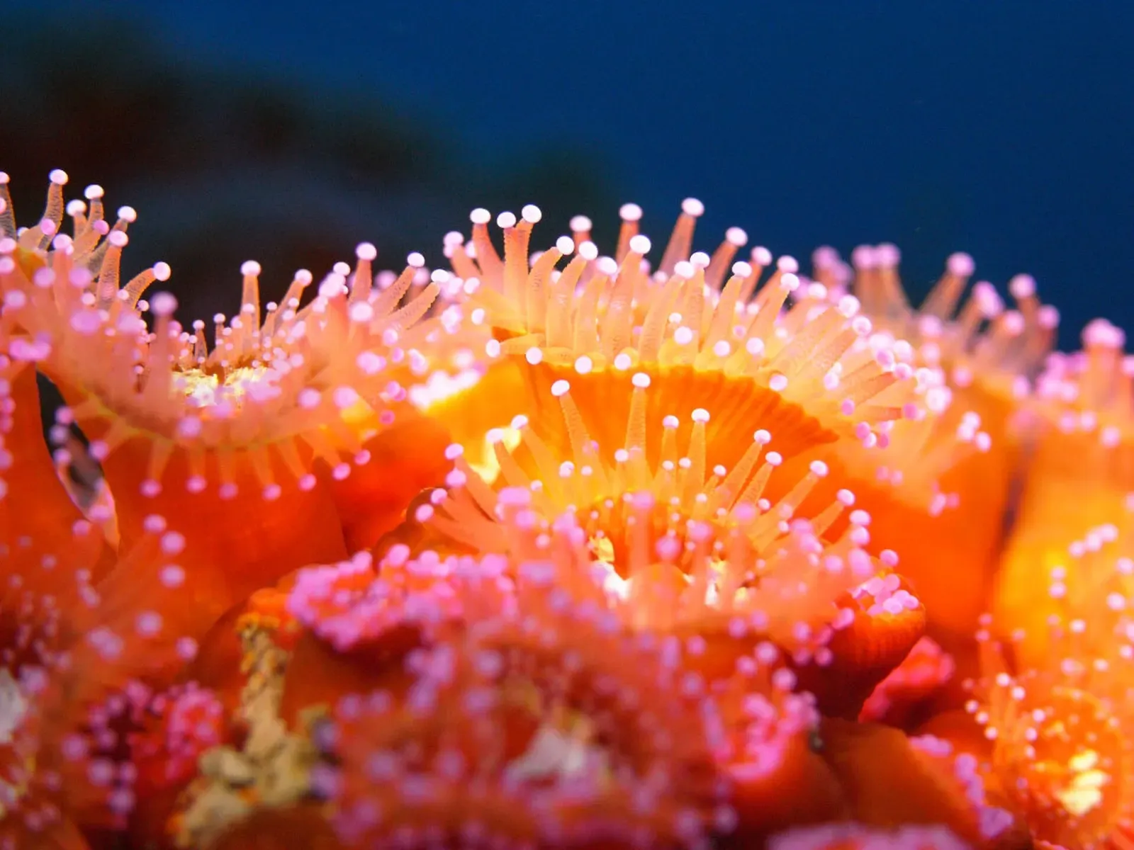
A 95 m WWII escort cut in two by a torpedo, mast top at 25 m, bow at 50 m
White gorgonians, nudibranchs and lobsters in the faults at 18 to 20 m
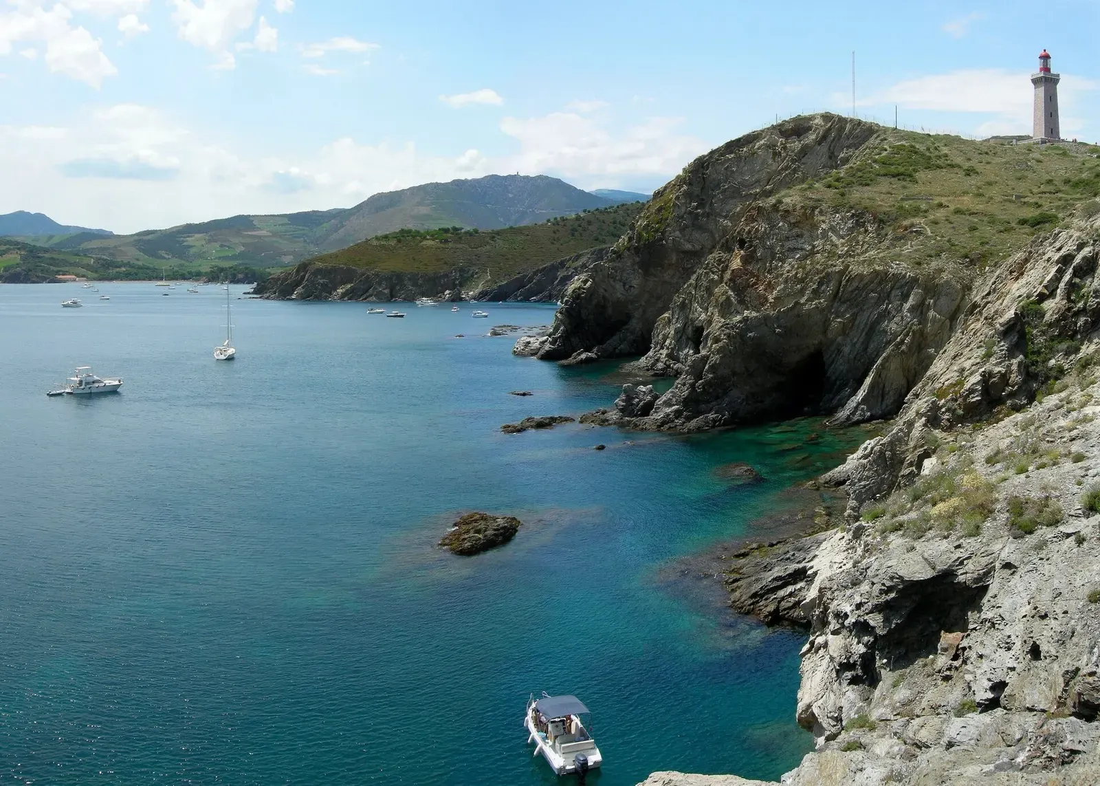
The sheltered fallback dive when the Tramontane blows
Reef
Faults and small caves between 5 and 30 m, with groupers and congers in the holes
Wreck
Broken collier at 44 m; follow the wreckage to a bow with its anchors still in place
Wreck
A 99 m collier on her keel at 45 m, stern broken off, emergency propeller still visible
Wall
Drop-offs, rocks and caves between 15 and 30 m off Banyuls
Reef
Groupers, dentex, brown meagre and barracuda in 5 to 20 m of reserve water
Similar dives elsewhere
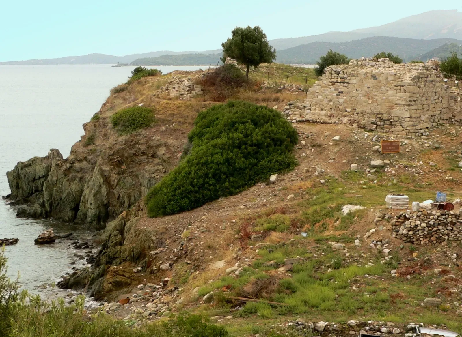
Old fishing nets turned into a reef, with congers and groupers underneath

A giant anchor and its chain links lying at 21 m
Sand, coralligenous and rock between 12 and 30 m
.JPG)
A 50-minute lap of a rocky islet a mile off Alyko Bay