
Caribbean · Caribbean Netherlands
Saba
Pinnacles rising from deep water, current-fed and thick with black coral and sponges
Photo: Patrick Hawks · CC BY 2.0
Saba is the exposed peak of a dormant volcano, and its marine park protects a ring of offshore seamounts and pinnacles that rise from deep water to within a few meters of the surface. Currents sweeping over sites like Third Encounter and Twilight Zone bring nutrients that support dense sponge growth and consistent shark and ray sightings, in contrast to the calmer, shallower diving typical elsewhere in the Dutch Caribbean.
About diving in Saba
Every dive starts at Fort Bay, the island's only harbour, because there is no shore diving anywhere on Saba. Divers come down the switchback road from Windwardside or The Bottom, load onto a boat and run out to the offshore sites, normally two tanks in the morning with an afternoon trip when the sea allows. The scale is small: a handful of operators, few visitors, and site choice made that morning from wind and swell.
The underwater landscape is the volcano's flanks. Close in, the shoreline drops through boulder and black sand onto ledges and walls; the interest is further out, where isolated summits stand in open water with nothing around them. Their tops vary. One exposed rock breaks the surface, while the best-known pinnacles begin nearer twenty-five or thirty metres, so profiles are planned tightly, with a short window on the structure and the rest of the dive spent working back up.
The character comes from being surrounded by open ocean. No shelf slows the water, so current runs across the rock and fish stack up on the up-current side; you go down a line, tuck in behind the structure and watch. The park has been in place since the late 1980s, boats tie to moorings instead of anchoring, and a diver fee is collected through the shops. Conditions swing more than on a sheltered island, and a site that worked one morning can be off the list the next.
It suits divers already comfortable dropping quickly down a line into moving water and holding a stop while the boat waits above. Away from the water the island is quiet in a way some people travel for and others find limiting: no resort strip, no beach to speak of, steep villages pinned to the hillside and the stepped climb up Mount Scenery, the high point of the Dutch kingdom, to fill a surface interval. Groups bringing non-divers or first-timers will find the alternatives narrow.
Best time to dive Saba
| Jan | Feb | Mar | Apr | May | Jun | Jul | Aug | Sep | Oct | Nov | Dec | |
|---|---|---|---|---|---|---|---|---|---|---|---|---|
| Season | Prime | Prime | Prime | Prime | Good | Good | Fair | Fair | Fair | Fair | Fair | Good |
| Sea surface | 27°C81°F | 26°C79°F | 26°C79°F | 27°C81°F | 28°C82°F | 28°C82°F | 29°C84°F | 29°C84°F | 29°C84°F | 29°C84°F | 29°C84°F | 28°C82°F |
| Daytime high | 27°C81°F | 27°C81°F | 27°C81°F | 28°C82°F | 29°C84°F | 29°C84°F | 29°C84°F | 30°C86°F | 30°C86°F | 30°C86°F | 29°C84°F | 28°C82°F |
| Rain | 23 mm0.9 in | 21 mm0.8 in | 20 mm0.8 in | 37 mm1.5 in | 67 mm2.6 in | 48 mm1.9 in | 54 mm2.1 in | 79 mm3.1 in | 83 mm3.3 in | 99 mm3.9 in | 84 mm3.3 in | 34 mm1.3 in |
| Jan | Feb | Mar | Apr | May | Jun |
|---|---|---|---|---|---|
| Prime | Prime | Prime | Prime | Good | Good |
| Sea surface | |||||
| 27°C81°F | 26°C79°F | 26°C79°F | 27°C81°F | 28°C82°F | 28°C82°F |
| Daytime high | |||||
| 27°C81°F | 27°C81°F | 27°C81°F | 28°C82°F | 29°C84°F | 29°C84°F |
| Rain | |||||
| 23 mm0.9 in | 21 mm0.8 in | 20 mm0.8 in | 37 mm1.5 in | 67 mm2.6 in | 48 mm1.9 in |
| Jul | Aug | Sep | Oct | Nov | Dec |
|---|---|---|---|---|---|
| Fair | Fair | Fair | Fair | Fair | Good |
| Sea surface | |||||
| 29°C84°F | 29°C84°F | 29°C84°F | 29°C84°F | 29°C84°F | 28°C82°F |
| Daytime high | |||||
| 29°C84°F | 30°C86°F | 30°C86°F | 30°C86°F | 29°C84°F | 28°C82°F |
| Rain | |||||
| 54 mm2.1 in | 79 mm3.1 in | 83 mm3.3 in | 99 mm3.9 in | 84 mm3.3 in | 34 mm1.3 in |
2011–2025 averages. Sea surface: NOAA Coral Reef Watch, measured at the surface, so deeper water can run colder. Daytime high and rain: NASA POWER.
December–April offers the calmest seas for pinnacle access; September–October bring the highest hurricane risk.
Best months: January, February, March, April
Saba water temperature and weather by month
The sea surface runs from 26 °C (79 °F) in February to 29 °C (84 °F) in September. Most rain falls from August to November, peaking at about 100 mm (3.9 in) in October; January to March are the driest. Daytime highs sit around 29 °C (84 °F) all year. The coldest water here is about 25 °C (77 °F), so pack a 3 mm full suit.
Dive types & marine life
Reef sharks are the regular draw on the pinnacles, working the rock year-round alongside large grouper under the ledges and barracuda holding above the summits. Eagle rays cross in the blue, turtles work the shallower reef, and frogfish turn up on the sheltered inshore walls. What the calendar changes is access, not the animals.
- Seamount
- Wall
- Reef
- Drift
- Reef sharks
- Eagle rays
- Sea turtles
- Groupers
- Barracuda
- Frogfish
Best dive sites in Saba
Reef
A cave under the overhangs, and reef sharks out in the blue
Reef
A loaf-shaped reef with a roughtail stingray cleaning station
Pinnacle
A full circuit of the rock, then up the canyon on its northeast side
Pinnacle
A needle-thin pillar rising to 27 m, dived with Third Encounter
Boulders down to sand at 23 m, elkhorn coral in the shallows
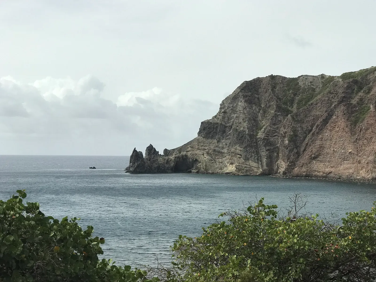
A shallow shoal off Torrens Point, capped at 25 m
Muck & macro
Open sand off the harbour, searched for batfish and blennies
Pinnacle
A narrow sponge ridge topping out at 33.5 m in open water
Pinnacle
A pinnacle at 27 m with outcrops at 37 m, dived for the sharks
Reef
A boulder archway swim-through, taken in single file
Reef
A steep patch reef from 21 m with a cup-coral swim-through
Wall
Out along the wall at 30 m, back under the ledge at 18 m
Seamount
Off the plateau edge to the tip of the Eye of the Needle
Reef
Saba's Nursery: boulders and small caves in under 8 m
Pinnacle
Reef sharks circling outcrops that peak at 23 m and fall away below
How to get to Saba
There is no long-haul access. Divers fly into Sint Maarten and connect on the short hop to Juancho E. Yrausquin, whose runway takes only small propeller aircraft, or cross by ferry to Fort Bay. Rooms are up in Windwardside and The Bottom, minutes above the harbour by road, and every dive is off a day boat.
Photos from Saba
magicOlf · CC BY-SA 2.0
mark-groeneveld · CC BY 4.0
CareAhLine · CC0
mark-groeneveld · CC BY 4.0
Dive videos
Saba's Needle at Third Encounter · Sea Saba on YouTube
Diving Diamond Rock and Man of War Shoals on the Caribbean Island of Saba · Diver Dean Ruscoe on YouTube
Photo credits
- Saba's steep volcanic ridge rising from the sea, with Windwardside village along the mountainside by Patrick Hawks, CC BY 2.0, via Wikimedia Commons
- A hawksbill sea turtle resting on the sandy seafloor off Saba by magicOlf, CC BY-SA 2.0, via Wikimedia Commons
- A squirrelfish sheltering among reef crevices off Saba by mark-groeneveld, CC BY 4.0, via Wikimedia Commons
- Wells Bay on Saba's coast, with the rock pinnacle of Torrens Point and a dive boat anchored offshore by CareAhLine, CC0, via Wikimedia Commons
- A rainbow runner swimming through open blue water near Saba by mark-groeneveld, CC BY 4.0, via Wikimedia Commons
Embed
Run a dive centre, club or blog? Embed this map of 12 dive sites near Saba on your own page.
In The Logbook
- Where to see reef sharks on your first divesBig animals · 14 min read
Similar destinations

Lava flows, old wreck sites and night turtles in a marine park
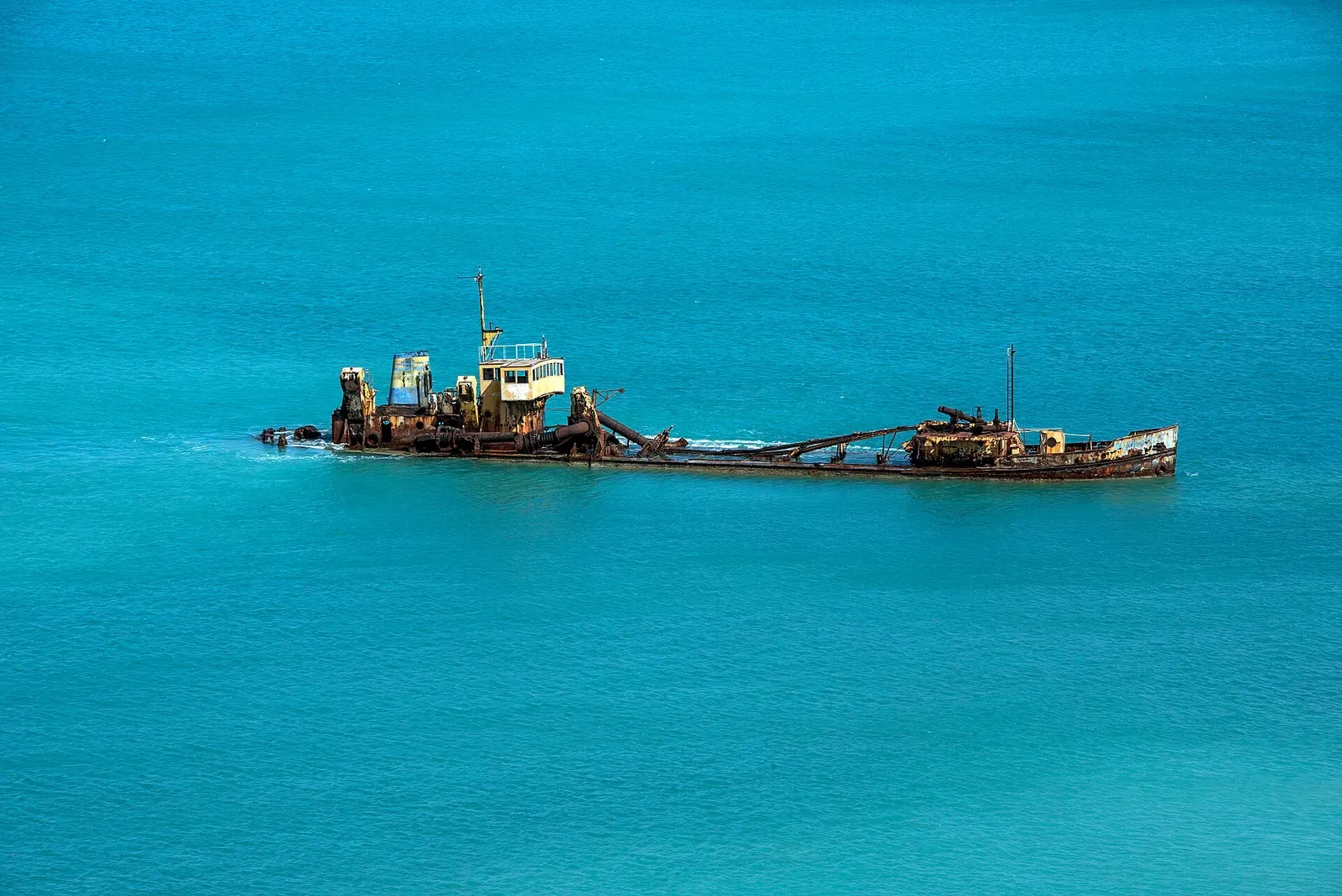
An 1801 frigate wreck and a run of sunk hulls minutes from Philipsburg

A bronze Cousteau sits at 12 m in the reserve he made famous
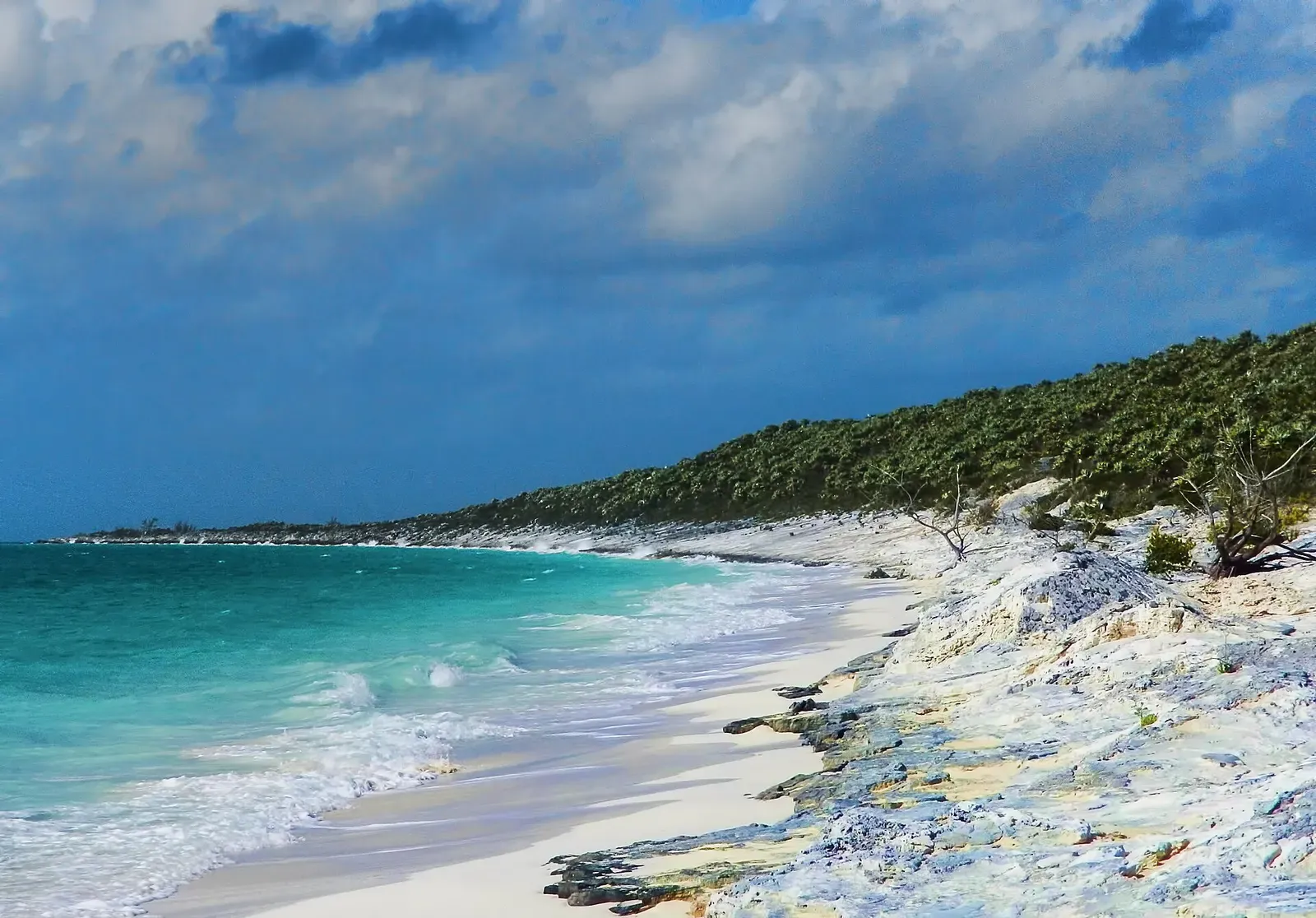


One of the few reliable places on earth to dive with oceanic whitetips