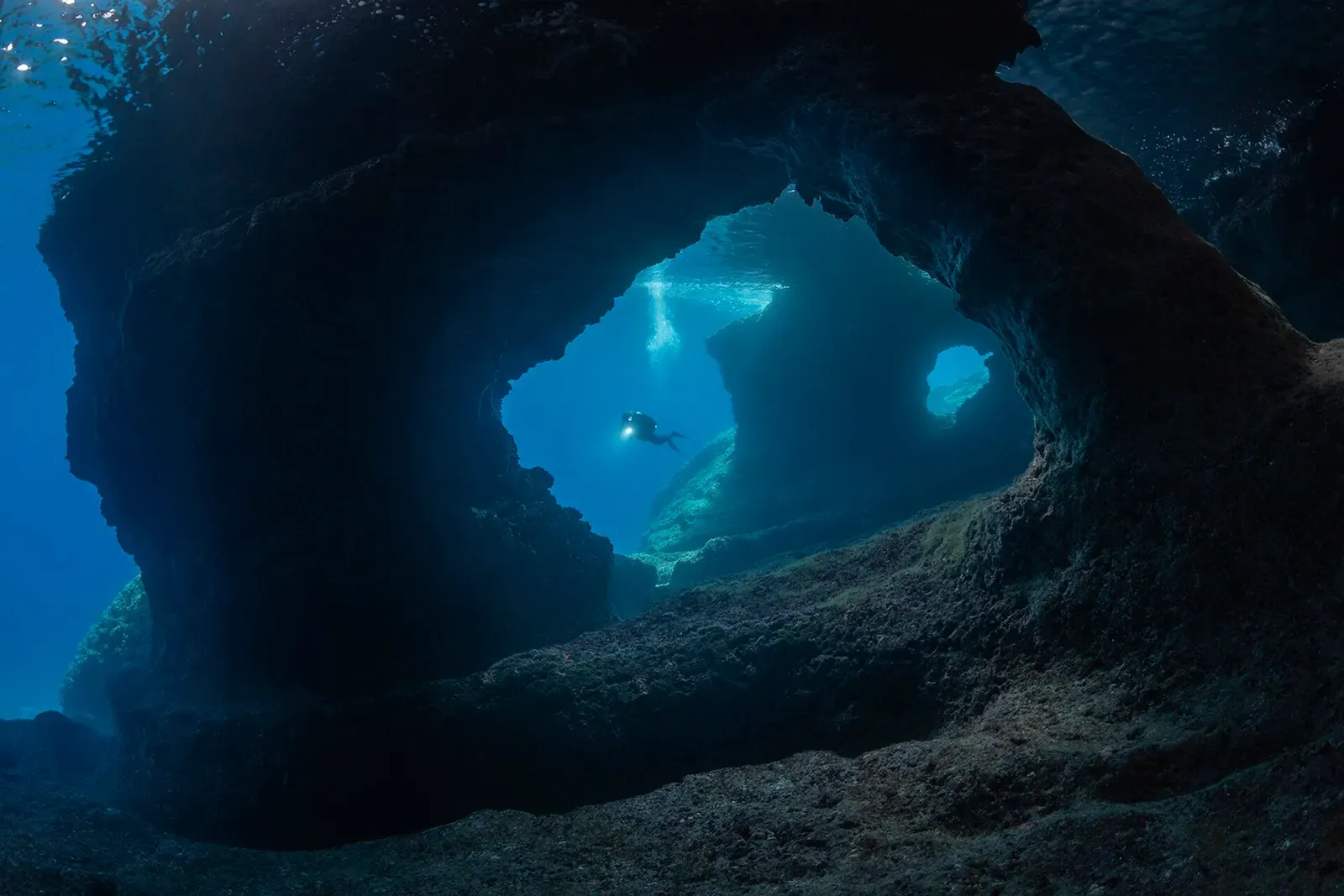
Vis · Croatia · Wreck
Teti
Five or six resident moray eels on a typical dive
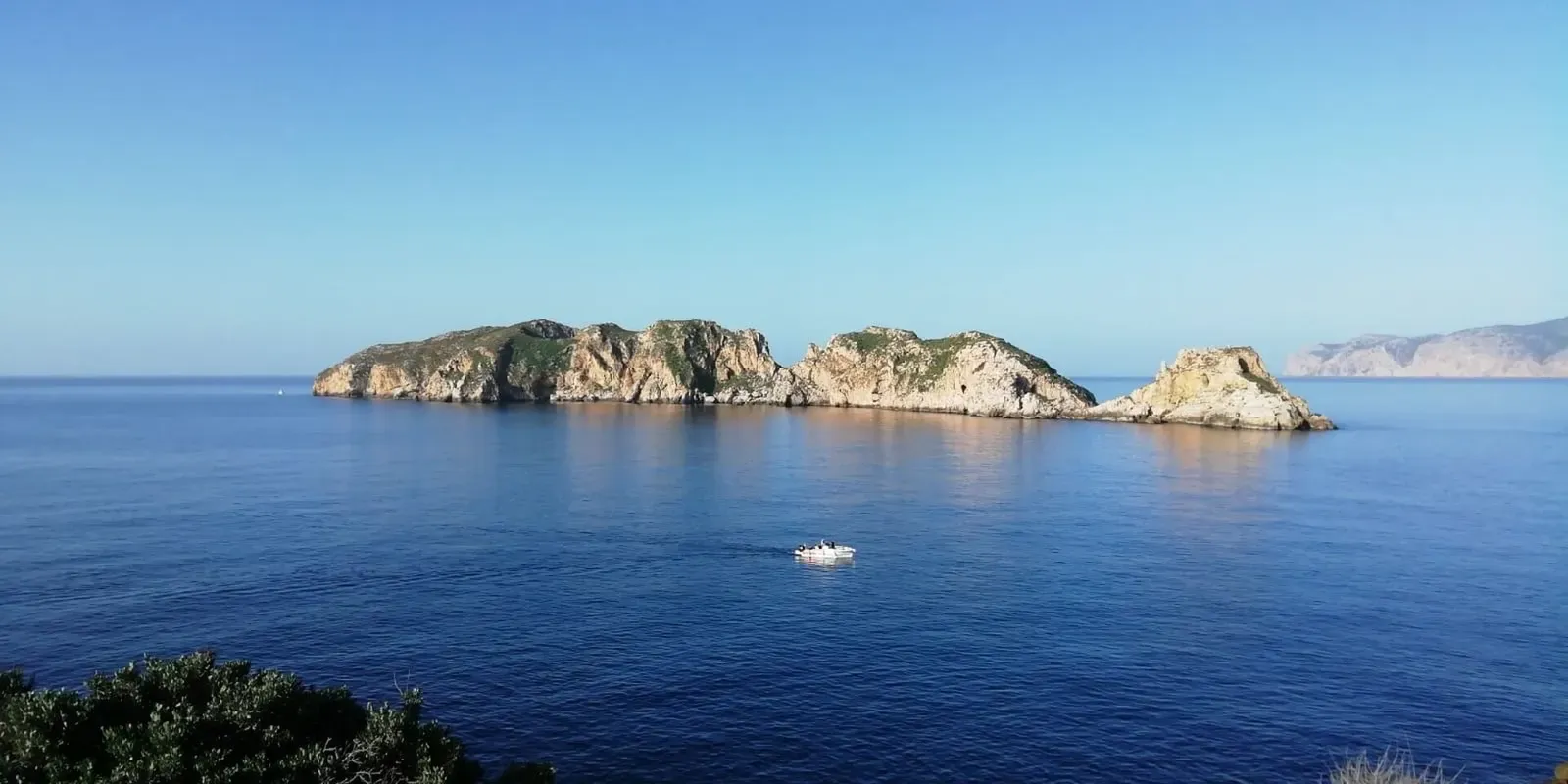
Area photo: Borut Furlan · CC BY-SA 4.0
A 72-metre Italian cargo steamship that ran aground on the rocks of Mali Barjak, northwest of Komiža, in a severe spring storm in May 1930 and sank months later. The wreck lies hard against the islet's northwestern shore, the bow at about 10 metres and the deepest sections at 34. Visibility is almost always long enough to see the entire structure at once.
Also known as SS Teti, Brod Teti.
Where it is and how deep
43.0527° N, 16.0397° EApproximate position — the dashed circle shows where the site lies; your operator's briefing has the mooring.
The dive
You drop in over the shallow end, where the bow section sits at around 10 metres against the rock. This is the part of the wreck the sea has worked hardest: the bow area shows significant wave damage rather than recognisable ship structure. It is still a useful orientation point, because from here the rest of the hull runs away below you, and the water is usually clear enough to see the whole structure before you commit to the depth.
Following the hull down, the bow and stern sections stay distinct, and the stern is by far the better preserved of the two. The rudder is identifiable, the auxiliary steering mechanism is still in place, and the entrance to the cargo hold is open. The deepest parts of the wreck are at about 34 metres, so the stern is where your bottom time goes and the rest of the dive is spent working back up the 72 metres of hull towards the shallows.
Moray eels have lived in this wreck for at least thirty years, and five or six on a dive is normal rather than lucky. They sit in the chimney, in the rigging pipes and back in the cargo holds, and they are accustomed to divers. Groupers and other fish hold around the structure as well, but the eels are what most divers come back talking about. The dive finishes back at the shallow bow end, where 10 metres leaves plenty of room for the safety stop.
The wreck
- Vessel
- Teti
- Type
- Cargo steamship
- Length
- 72 m (236 ft)
- Built
- 1883
- Sunk
- 1930
- Cause
- Ran aground on the rocks of Mali Barjak in a severe spring storm while carrying granite cubes
- Lies
- Against the northwestern coast of Mali Barjak, bow at about 10 m and the deepest sections at 34 m
The Teti was built in 1883 at the John Cockerill shipyard and worked as a cargo steamship, 72 metres long. On 23 May 1930, carrying a load of granite cubes, she ran aground on the rocks off the islet of Mali Barjak in a severe spring storm. The entire Italian crew was taken off by lifeboats from Komiža. The ship itself stayed on the rocks and sank months later, which is why the wreck lies where it does, hard up against the islet rather than out on open seabed.
Marine life and season
- Groupers
| Jan | Feb | Mar | Apr | May | Jun | Jul | Aug | Sep | Oct | Nov | Dec |
|---|---|---|---|---|---|---|---|---|---|---|---|
| Off-season | Off-season | Off-season | Fair | Good | Prime | Prime | Prime | Prime | Good | Off-season | Off-season |
Season follows Vis: Diving runs May to October; the surface reaches 22–25 °C in July and August, and visibility is most reliable from late June to early October.
Know before you go
- The moray eels are habituated to divers and will come close; in feeding situations fingers get mistaken for fish, so keep hands in and do not offer food.
- The bow area is broken and wave-damaged plating rather than solid structure, so it is a poor place to hold on to or shelter behind.
Dive videos
Immersione sul Relitto del Piroscafo Italiano Teti a Vis - Teti Wreck on island of Vis - 4K · Acquelibere Sub on YouTube
Ep.61, Teti wreck, congers,Komiza, Vis, Croatia, Fifteen Minutes Dive Shorts (DR) · Fifteen Minutes Dive Shorts on YouTube
Questions divers ask
How deep is the Teti wreck?+
The bow section rests at approximately 10 metres and the deepest sections extend to about 34 metres, so the wreck spans most of a planned deep-dive profile.
What certification do I need for the Teti?+
Advanced Open Water with some wreck experience is a fair minimum. The deepest sections are at about 34 metres, which makes this a planned deep dive, while the bow end sits at around 10 metres.
What will I see on the Teti?+
The better-preserved stern with its rudder, auxiliary steering mechanism and open cargo hold entrance, plus the resident moray eels - five to six per dive is typical - and groupers around the structure.
Sources
- Teti — SCUBAlife
- May 1930 (shipwrecks list, Teti entry) — Wikipedia
- Mali Barjak — OpenStreetMap
More dive sites in Vis
Wreck
Airframe on sand at 65 to 72 m, visibility to 40 m
Wreck
Hull and wings at 40 m, tail 100 m away at 52 m
Wall
A cavern shaped like a three-aisled building
Cave & cavern
Daylight on a green stone, at 10 m and 30 m
Reef
Ancient amphorae scattered between 14 and 37 m
Pinnacle
Plateau at 6 m, then a vertical wall past 50 m
Wall
A 70 m long cavern starting at 28 m
Cave & cavern
A 50 m swim-through with an air pocket at the end
Similar dives elsewhere
A 40 m fishing boat wreck in a restricted park zone
Groupers on the scrapped hull of a ship thought lost in the Gallipoli campaign
A WWII heavy fighter at 33 m, found in 2007 after a year-long search

A small boat at 18 m with mast and boxes intact, two more hulls at 27 m