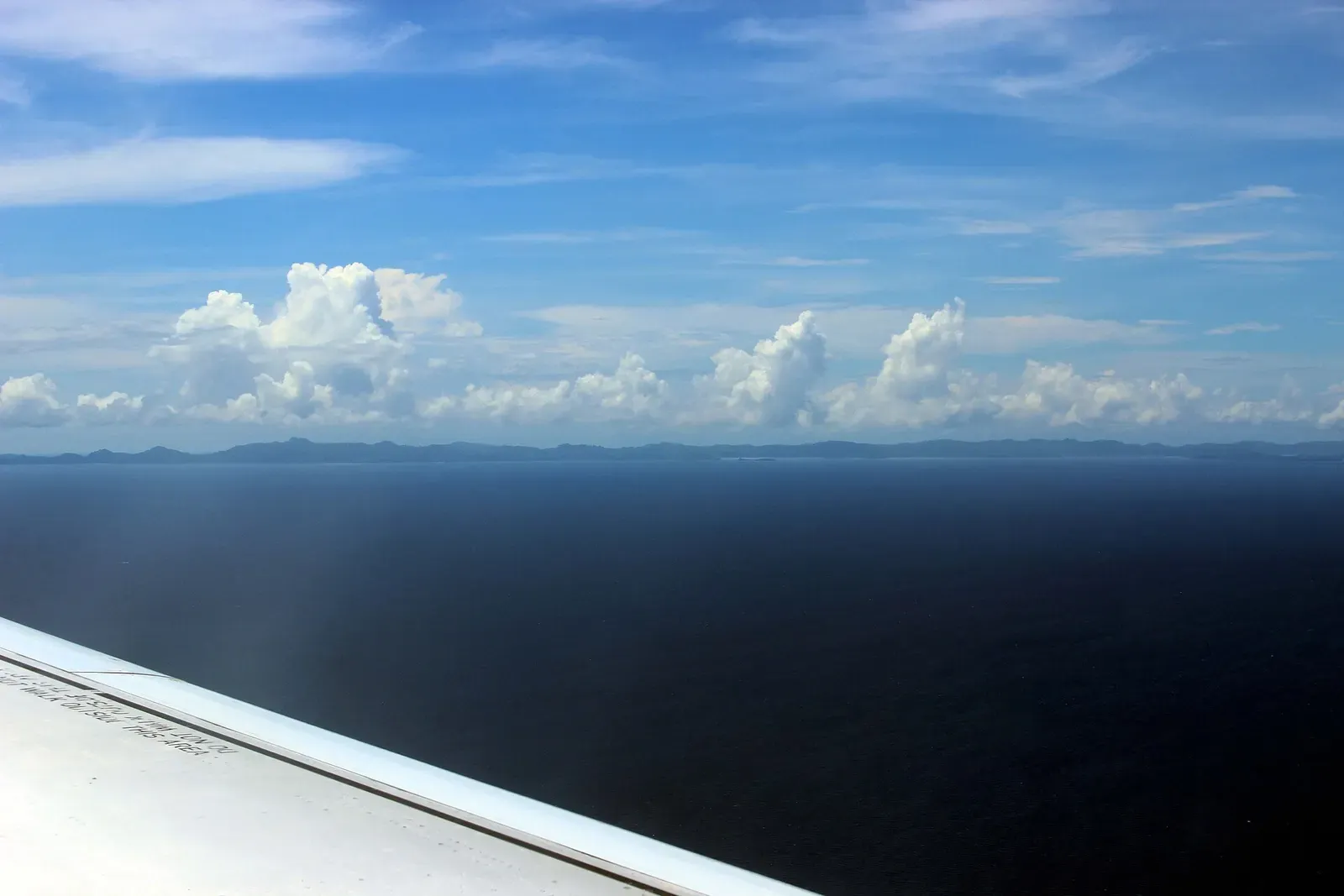
Coral Triangle · Solomon Islands
Iron Bottom Sound
Wade off a Honiara roadside onto a Japanese transport from 1942
The water between Guadalcanal and the Florida Islands took more than fifty warships and hundreds of aircraft during the Guadalcanal campaign, and Allied sailors named it for what was on the bottom. Most of the warships lie past a thousand metres and will never be dived, but the transports driven ashore are within reach: Bonegi I and II are shore dives from a Honiara roadside, and the Florida Islands add clear-water reef and the twin chimneys of Twin Tunnels.
About diving in Iron Bottom Sound
Diving here is lower-key than the history suggests. Operators are based in the capital, and a wreck day usually means a van ride out along the coast road west of town, kit assembled on the sand and a walk into the water, with tanks swapped in the shade between dives and no boat involved. The land behind the entry points is customarily owned and a small fee is normally collected at the beach, which is one reason most divers arrange the day through a centre. Boat days point north instead, across the sound, and depend on what the crossing looks like that morning.
The two halves of the area have little in common. The beached transports lie bow-up on the slope with their sterns running away downhill, so depth is chosen simply by how far out you swim; the shallow ends are bright and crusted with growth, while the deeper sections fade into silt and low light, more so after heavy rain. The Florida Islands are a different proposition: hard reef structure, drop-offs and swim-throughs, and visibility the shore sites rarely match.
The signature dive is a slow swim along a hull that has been on the bottom since 1942, ordinary fittings now under coral growth, clouds of small fish moving through the frames and the shoreline visible above you the whole way. Night dives on the shallow plating are a local staple. Technical divers work the deeper wrecks around Tulagi, which sit well past recreational limits and rarely figure in a visiting diver's plans.
It suits people who come for the story as much as the fish. Visibility is modest by regional standards, the topside is a working capital rather than a resort strip, and this is not a polished dive holiday. Most divers treat it as two or three days attached to a longer trip further west, which is the sensible shape: time for the shore wrecks, one crossing to the reefs, and the campaign's land sites — ridges, airfield, memorials — in between.
Best time to dive Iron Bottom Sound
| Jan | Feb | Mar | Apr | May | Jun | Jul | Aug | Sep | Oct | Nov | Dec | |
|---|---|---|---|---|---|---|---|---|---|---|---|---|
| Season | Fair | Fair | Good | Prime | Prime | Prime | Good | Good | Good | Prime | Prime | Good |
| Sea surface | 30°C86°F | 30°C86°F | 30°C86°F | 30°C86°F | 30°C86°F | 29°C84°F | 29°C84°F | 29°C84°F | 29°C84°F | 29°C84°F | 30°C86°F | 30°C86°F |
| Daytime high | 30°C86°F | 30°C86°F | 30°C86°F | 30°C86°F | 30°C86°F | 30°C86°F | 30°C86°F | 30°C86°F | 30°C86°F | 30°C86°F | 31°C88°F | 30°C86°F |
| Rain | 303 mm11.9 in | 311 mm12.2 in | 280 mm11.0 in | 225 mm8.9 in | 241 mm9.5 in | 206 mm8.1 in | 205 mm8.1 in | 195 mm7.7 in | 193 mm7.6 in | 179 mm7.0 in | 199 mm7.8 in | 274 mm10.8 in |
| Jan | Feb | Mar | Apr | May | Jun |
|---|---|---|---|---|---|
| Fair | Fair | Good | Prime | Prime | Prime |
| Sea surface | |||||
| 30°C86°F | 30°C86°F | 30°C86°F | 30°C86°F | 30°C86°F | 29°C84°F |
| Daytime high | |||||
| 30°C86°F | 30°C86°F | 30°C86°F | 30°C86°F | 30°C86°F | 30°C86°F |
| Rain | |||||
| 303 mm11.9 in | 311 mm12.2 in | 280 mm11.0 in | 225 mm8.9 in | 241 mm9.5 in | 206 mm8.1 in |
| Jul | Aug | Sep | Oct | Nov | Dec |
|---|---|---|---|---|---|
| Good | Good | Good | Prime | Prime | Good |
| Sea surface | |||||
| 29°C84°F | 29°C84°F | 29°C84°F | 29°C84°F | 30°C86°F | 30°C86°F |
| Daytime high | |||||
| 30°C86°F | 30°C86°F | 30°C86°F | 30°C86°F | 31°C88°F | 30°C86°F |
| Rain | |||||
| 205 mm8.1 in | 195 mm7.7 in | 193 mm7.6 in | 179 mm7.0 in | 199 mm7.8 in | 274 mm10.8 in |
2011–2025 averages. Sea surface: NOAA Coral Reef Watch, measured at the surface, so deeper water can run colder. Daytime high and rain: NASA POWER.
Apr–Jun and Oct–Dec are calmest; the Jan–Mar wet season brings runoff that cuts visibility on the shore wrecks.
Best months: April, May, June, October, November
Iron Bottom Sound water temperature and weather by month
The sea surface stays between 29 and 30 °C (84–86 °F) all year. Rain falls through the year, about 230 mm (9.1 in) a month on average, with February the wettest. Daytime highs sit around 30 °C (86 °F) all year. The coldest water here is about 28 °C (82 °F), so pack a 3 mm, or even a 2 mm, suit.
Dive types & marine life
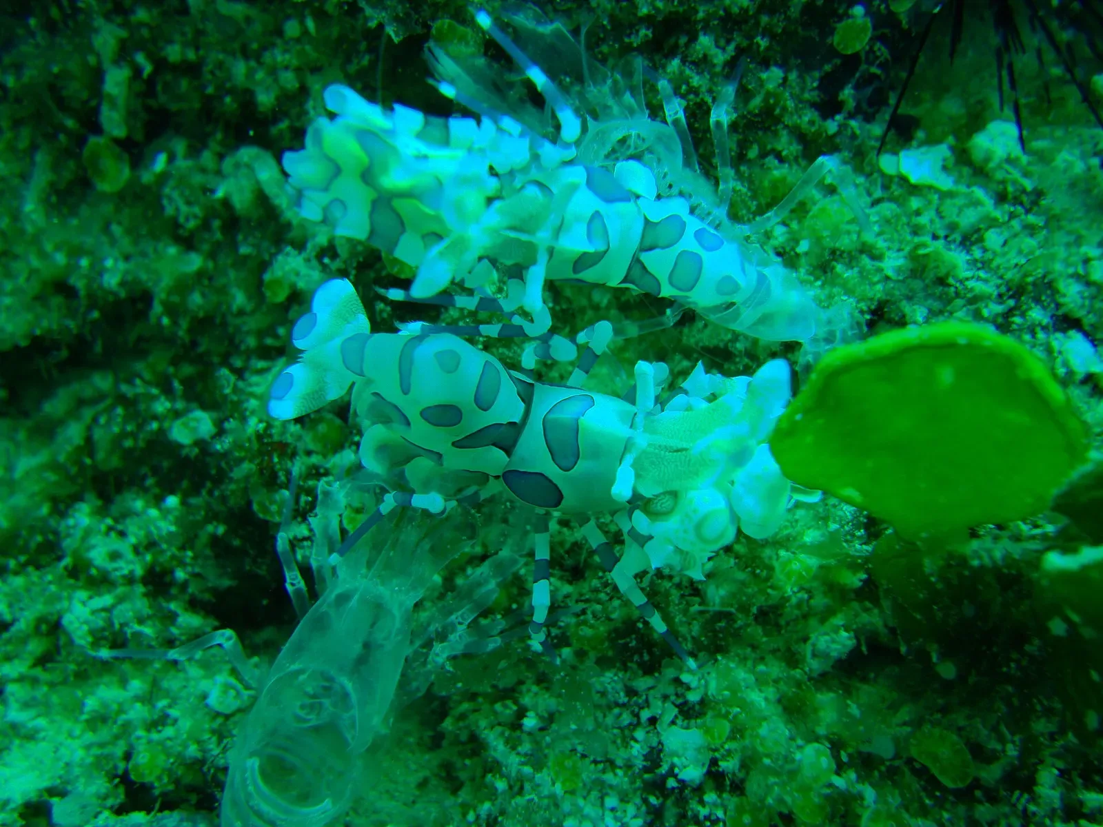
The hulls carry dense clouds of small reef fish, grouper holding in the shadowed sections and barracuda off the deeper wreckage, while nudibranchs and small critters make the shallow plating a good night dive. Turtles are more likely over the Florida Islands reefs. April to June and October to November are the clearest months; wet-season runoff dulls the shore sites.
- Wreck
- Reef
- Night
- Muck & macro
- Cave & cavern
- Reef fish swarms
- Macro critters
- Nudibranchs
- Sea turtles
- Groupers
- Barracuda
Best dive sites in Iron Bottom Sound
Wreck
A 155 m Japanese transport you reach by walking off the beach
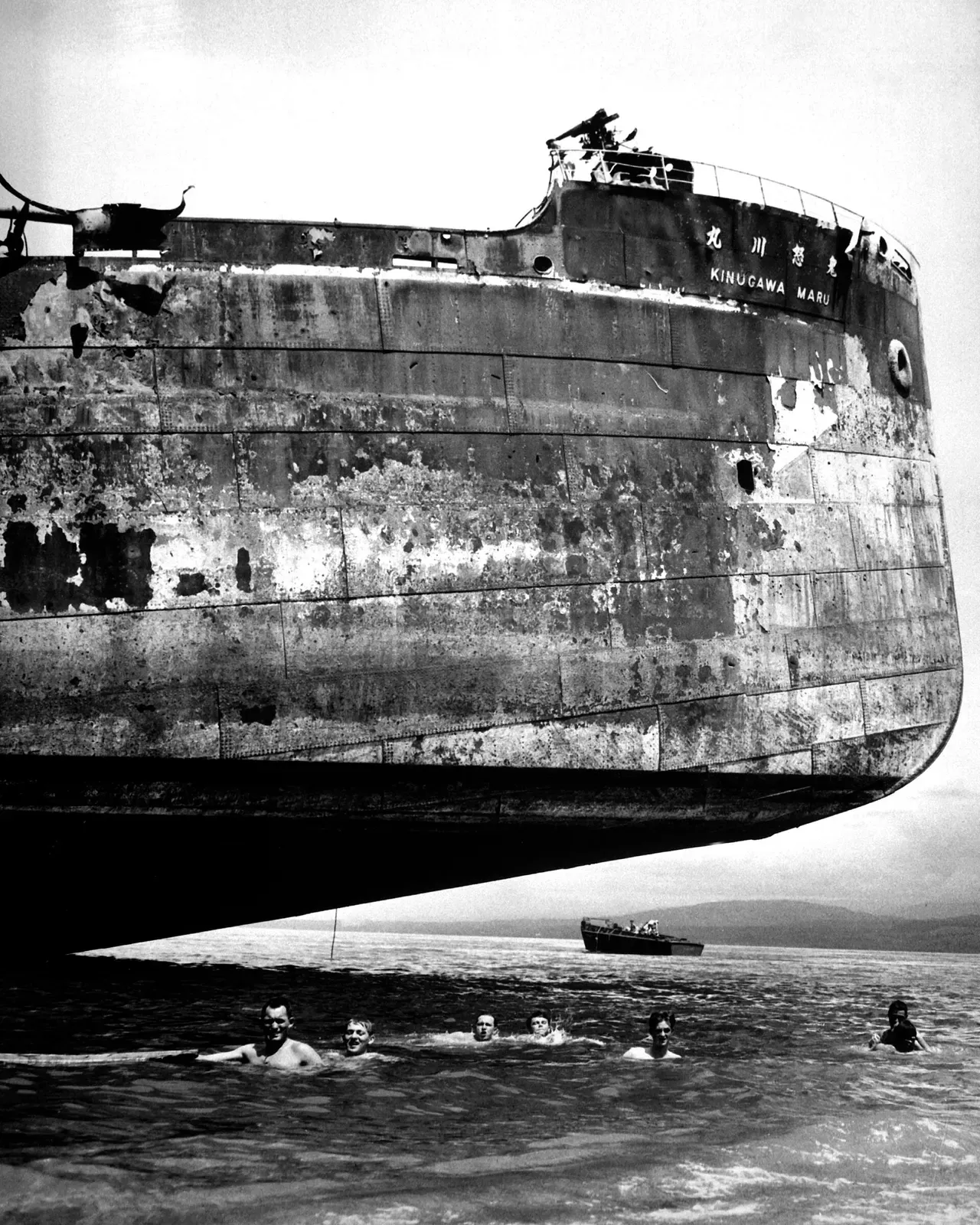
A 133 m transport whose engine still breaks the surface
Pinnacle
Two lava tubes through the reef top, exiting in a cave at 35 m
Wreck
A US attack transport in 35 to 60 m, open to penetration
How to get to Iron Bottom Sound
Honiara is the country's international gateway and the base for everything here. Town centres run transport west along the coast road to the shore wrecks and boats north across the sound to the Florida Islands, weather permitting. Passenger boats also cross to Tulagi for divers who would rather stay nearer the reefs.
Photos from Iron Bottom Sound
U.S. Navy, photo was taken from USS San Juan (CL-54). · Public domain
Unknown author · Public domain
Dive videos
Diving WWII Wrecks in Solomon Islands | What We Found Underwater · Dive Wise on YouTube
WRECKED in the Iron Bottom Sound (Expedition Drenched S1 Ep. 67) · Expedition Drenched on YouTube
Photo credits
- Dark blue open water seen from an aircraft wing, with the low hills of the Florida Islands lining the horizon under cumulus clouds by Jenny Scott from Adelaide, Australia, CC BY 2.0, via Wikimedia Commons
- Black-and-white view from a warship over a flat sea to a lone destroyer and a mountainous island on the horizon by U.S. Navy, photo was taken from USS San Juan (CL-54)., Public domain, via Wikimedia Commons
- Black-and-white photograph of a US Navy destroyer with crew lining the rails, throwing spray in a heavy swell with land on the horizon by Unknown author, Public domain, via Wikimedia Commons
Embed
Run a dive centre, club or blog? Embed this map of 11 dive sites near Iron Bottom Sound on your own page.
In The Logbook
- Why is 1.4 bar the oxygen limit in diving?Body & health · 13 min read
- Deep wreck diving: where recreational stopsWrecks · 8 min read
- DPV diving: what an underwater scooter changesGear & kit · 10 min read
- WWII wrecks you can dive, by theatreWrecks · 7 min read
- The best shore dives in the worldShore diving · 8 min read
Similar destinations
Coral Triangle
Florida & Russell Islands
Solomon Islands
Up to a dozen manta rays feeding in formation at Devils' Highway

Eighty human figures stand in a ring on the sand off Gili Meno
Coral Triangle
Labuan & Brunei Wrecks
Brunei
Four protected wrecks plus coral reefs nearby
.jpg)

_underway_off_Guadalcanal_on_23_March_1944_(80-G-48564).jpg)
A flashlightfish cave and Olango's 73 m wall, minutes from the airport