Riviera Maya Cenotes · Mexico · Cenote · Cave & cavern · Freshwater
El Pit
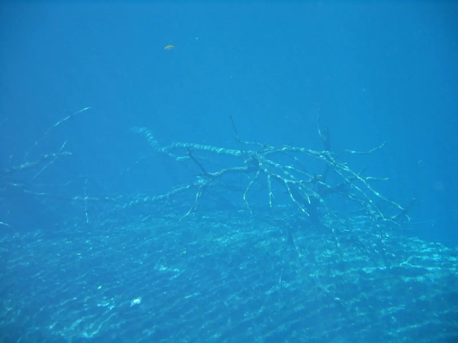
Tree branches standing out of a sulphide cloud at 30 m
Photo: Diego Delso · CC BY-SA 4.0
A narrow gash in the jungle floor 2.8 km past Dos Ojos that drops further than anything else divers reach on this coast. The guided profile descends the middle of the shaft through a halocline to a hydrogen sulphide cloud at 30 m, with dead tree branches standing out of it, and the walls carry on narrowing into darkness past 40 m.
Also known as The Pit, Cenote El Pit.
Where it is and how deep
20.3232° N, 87.4099° WPublished position for this site.
The dive
The descent starts in the middle of the cenote rather than along a wall, so there is nothing to hold on to and the whole thing runs on buoyancy control. A shallow halocline blurs the view early on, then clears, and the shaft opens out below into a space far wider than the hole in the jungle above it suggests.
At 30 m you reach the hydrogen sulphide cloud. It sits across the shaft like a floor that is not there, and dead tree branches protrude through it from below, which is the image the site is known for. Below the cloud El Pit narrows and continues into darkness past 40 m, and that is where the guided dive turns.
Everything deeper belongs to cave teams. The passage below is the deepest known in Quintana Roo at 119.1 m, found in 1996 about 1,500 m from the main Dos Ojos entrance, and none of it is reachable on a guided cavern profile. Coming back up, the light through the opening is the reason for the early start: later in the day the shafts flatten out.
Background
El Pit is part of Sistema Dos Ojos, whose surveyed extent runs to 82 km through 28 known sinkhole entrances. The deepest known cave passage in Quintana Roo lies here, 119.1 m down, discovered in 1996 roughly 1,500 m from the main entrance of the system.
Marine life and season
The sources we used don't single out particular species here.
| Jan | Feb | Mar | Apr | May | Jun | Jul | Aug | Sep | Oct | Nov | Dec |
|---|---|---|---|---|---|---|---|---|---|---|---|
| Prime | Prime | Prime | Prime | Good | Good | Good | Good | Good | Good | Prime | Prime |
Season follows Riviera Maya Cenotes: Divable year-round at a constant 25°C; the Nov–Apr dry season is clearest, while summer downpours can cloud shallow cenotes for a day or two.
Know before you go
- The profile goes past 30 m in fresh water with no wall to reference, so descent rate and gas planning matter more here than at any other cenote on the coast.
- The walk in is steep and narrow with awkward footing; use the pulleys for tanks rather than carrying them down.
Photos from El Pit
Diego Delso · CC BY-SA 4.0
Diego Delso · CC BY-SA 4.0
Questions divers ask
How deep is The Pit cenote?+
The guided dive works down to about 40 m, passing the hydrogen sulphide cloud at 30 m. The cave passage below reaches 119.1 m, the deepest known in Quintana Roo, and is cave-team territory rather than part of any guided profile.
What is the cloud at 30 m in El Pit?+
A hydrogen sulphide layer produced by decomposing organic matter. It hangs across the shaft at 30 m with dead tree branches standing out of it, and divers pass through it on the way down.
Sources
- El Pit Cenote — Pro Dive International
- Sistema Dos Ojos — Wikipedia
- Cenote El Pit — Scubago
Photo credits
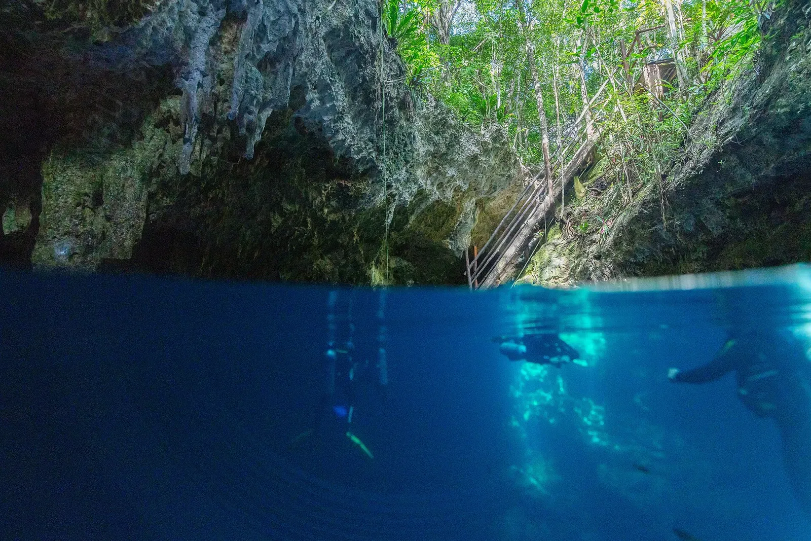
- Divers in deep blue water below the rock rim of a narrow cenote shaft by Diego Delso, CC BY-SA 4.0, via Wikimedia Commons
- Diver finning through deep blue water with daylight coming from far above by Diego Delso, CC BY-SA 4.0, via Wikimedia Commons
- Diver with a bright torch in near-dark blue water deep in the shaft by Diego Delso, CC BY-SA 4.0, via Wikimedia Commons
More dive sites in Riviera Maya Cenotes
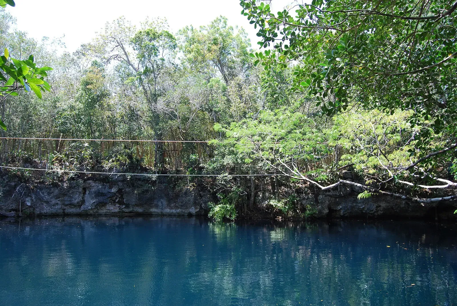
A sulphide cloud you can put a hand through, at 27 m
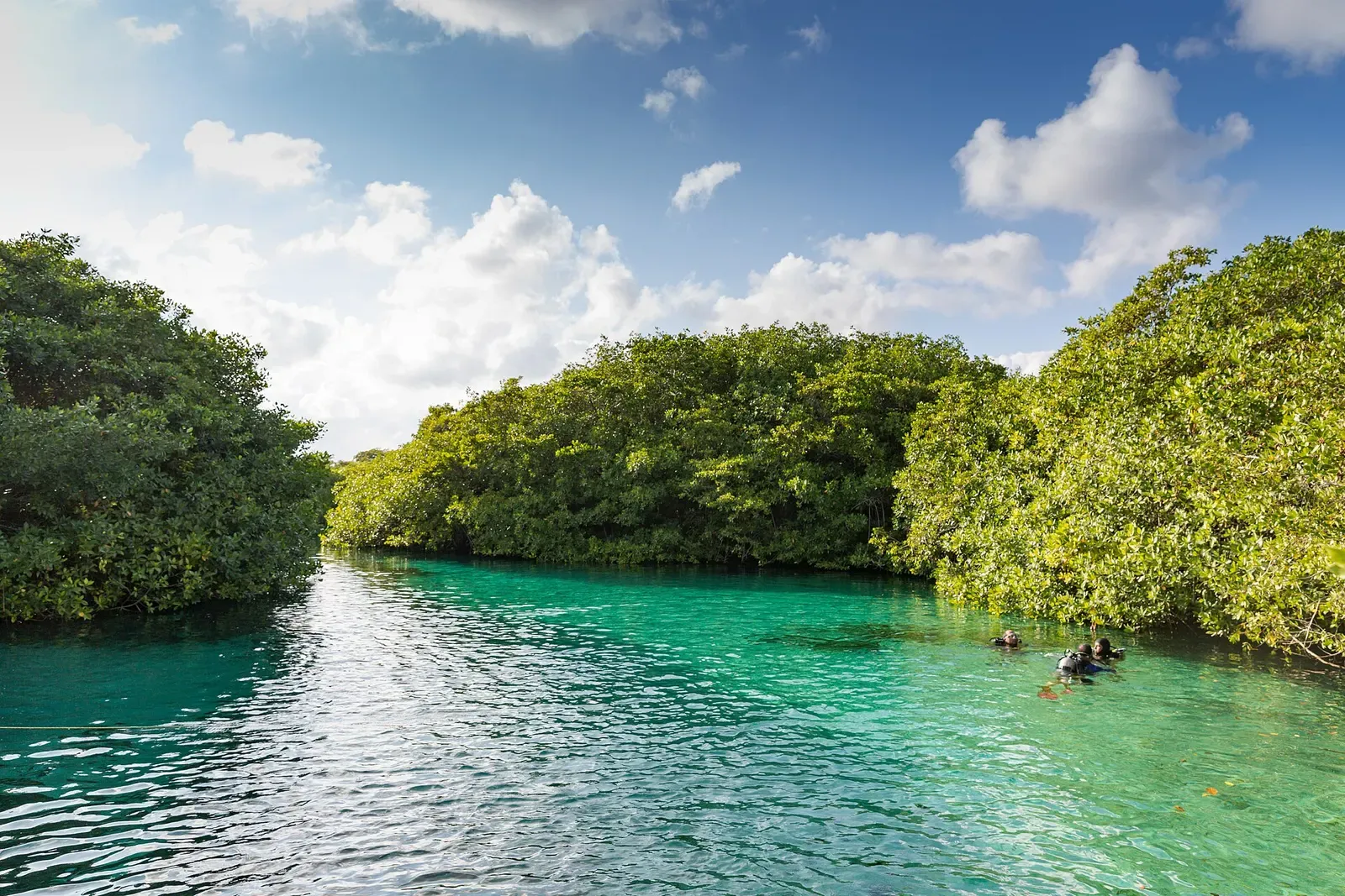
A mangrove channel dive with no overhead at all
Lily pads on the surface, decorated cavern underneath
Jump through the roof or take the ladder beside it
An air dome you can surface in, under two levels of stalactites
Cenote
Where cave divers found three prehistoric skeletons
Cenote
A crossing to the neighbouring Rainbow Cenote
Cenote
Nine metres of clear water used for course skills
Similar dives elsewhere
Taíno artefacts in place in a 9 m freshwater cave
Cave & cavern
Dan's Cave
South Abaco Blue Holes · Bahamas
Cascade Room entrance leads to crystal rooms with names like Fangorn Forest
Cave & cavern
Ralph's Cave
South Abaco Blue Holes · Bahamas
Formations 13,000 to 350,000 years old inside a deep, roller-coaster passage


A 202 m blue hole entered from the beach, home of the Vertical Blue freediving competition